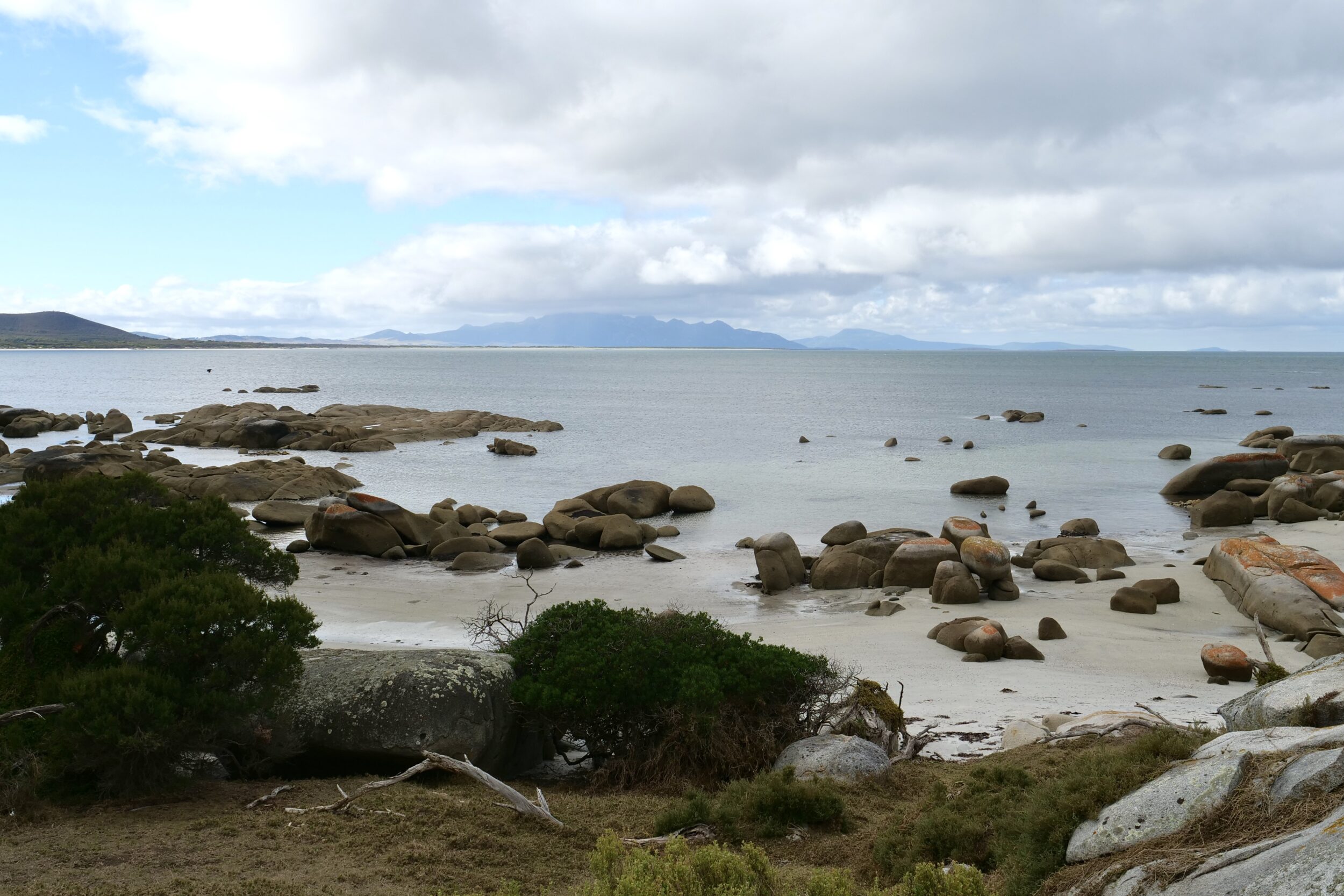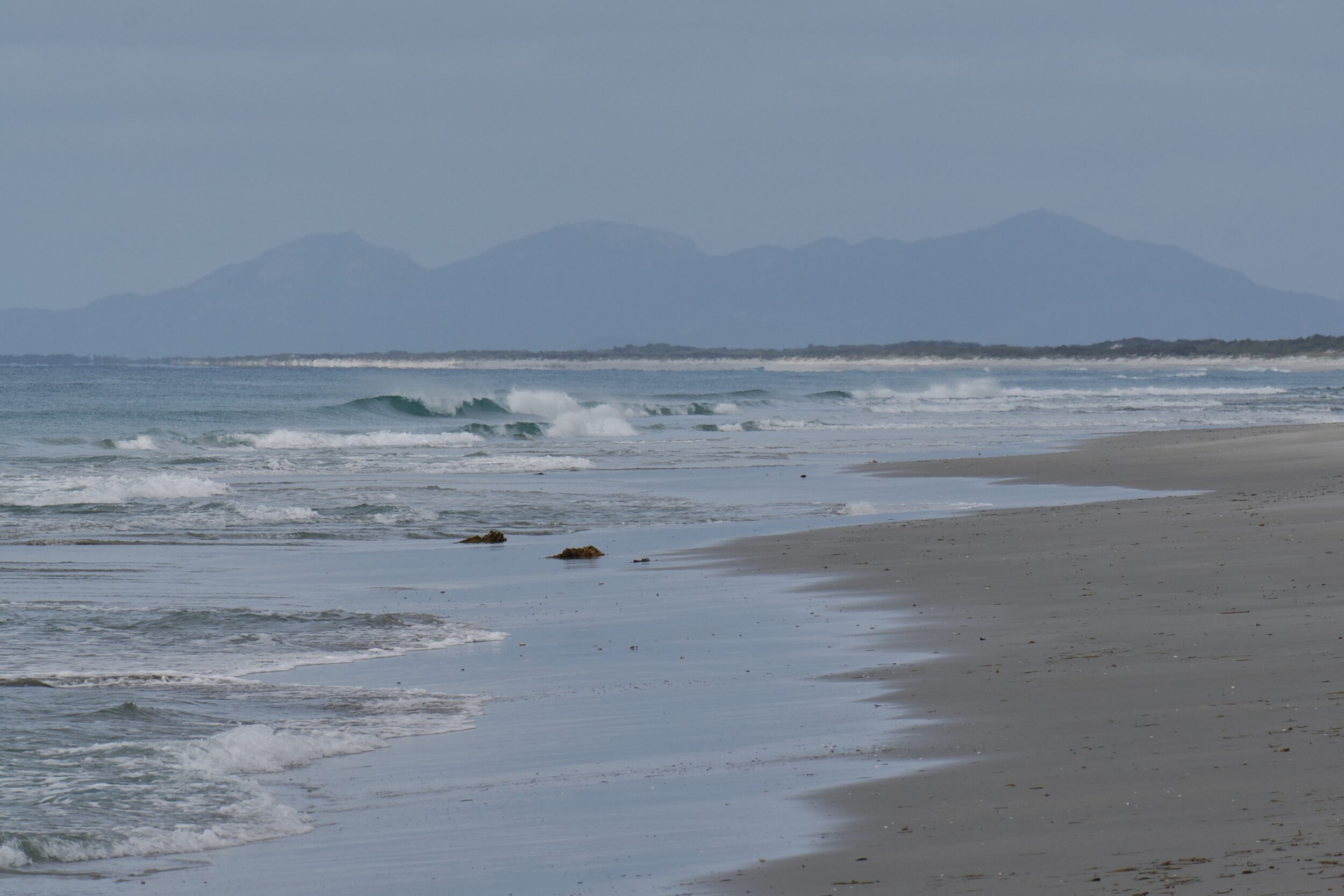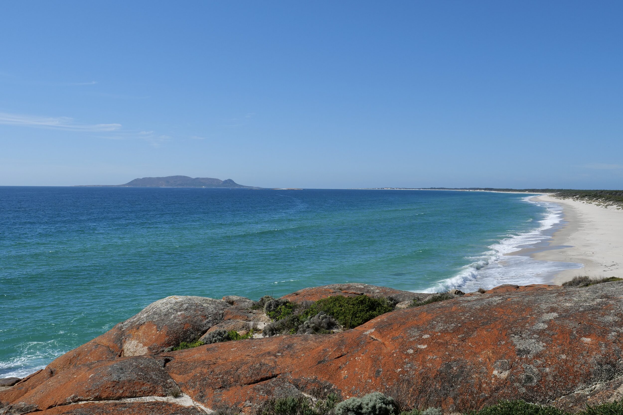
This post’s photos were taken about half an hour after the previous post’s, and circa one kilometre further north.
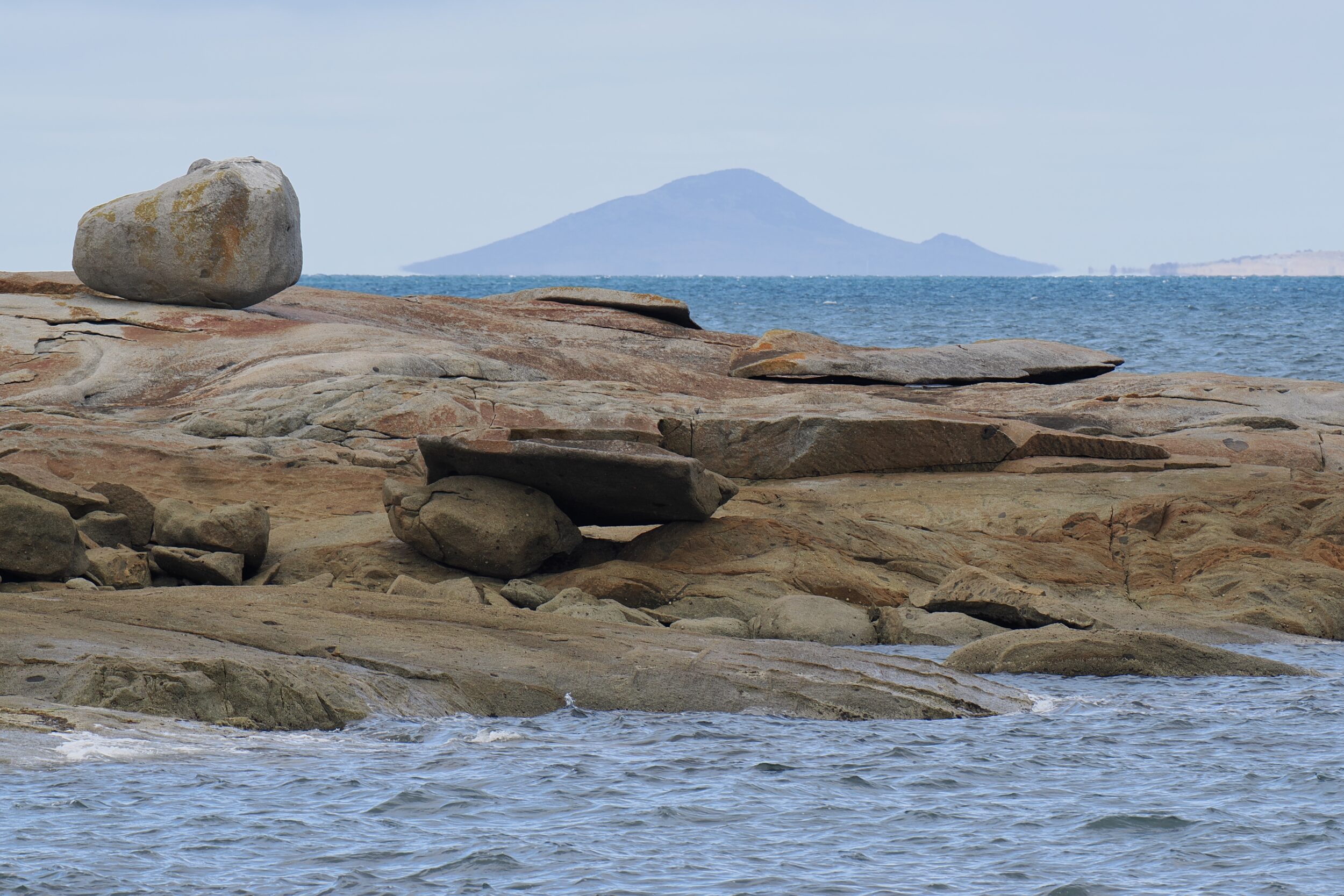
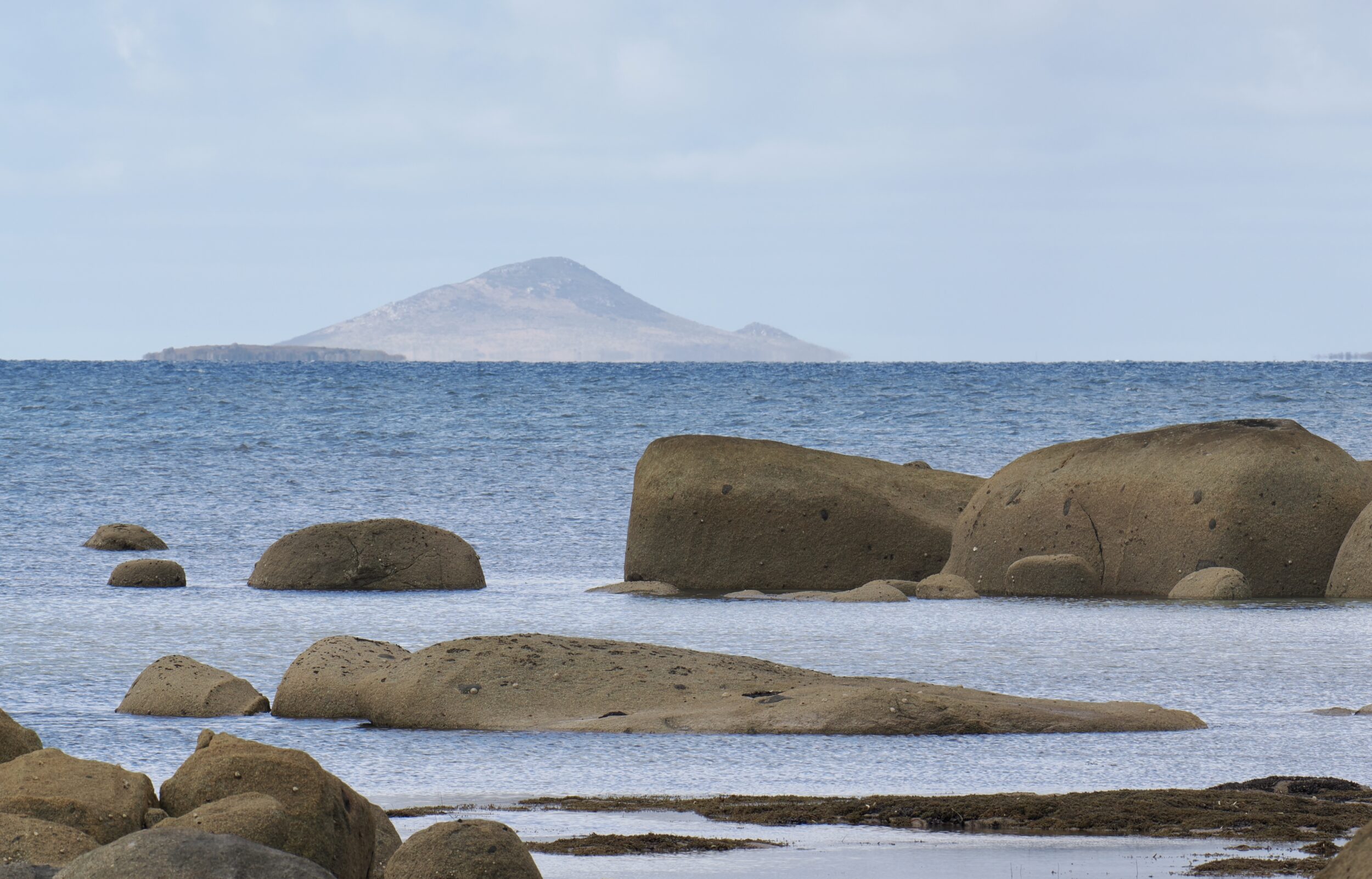
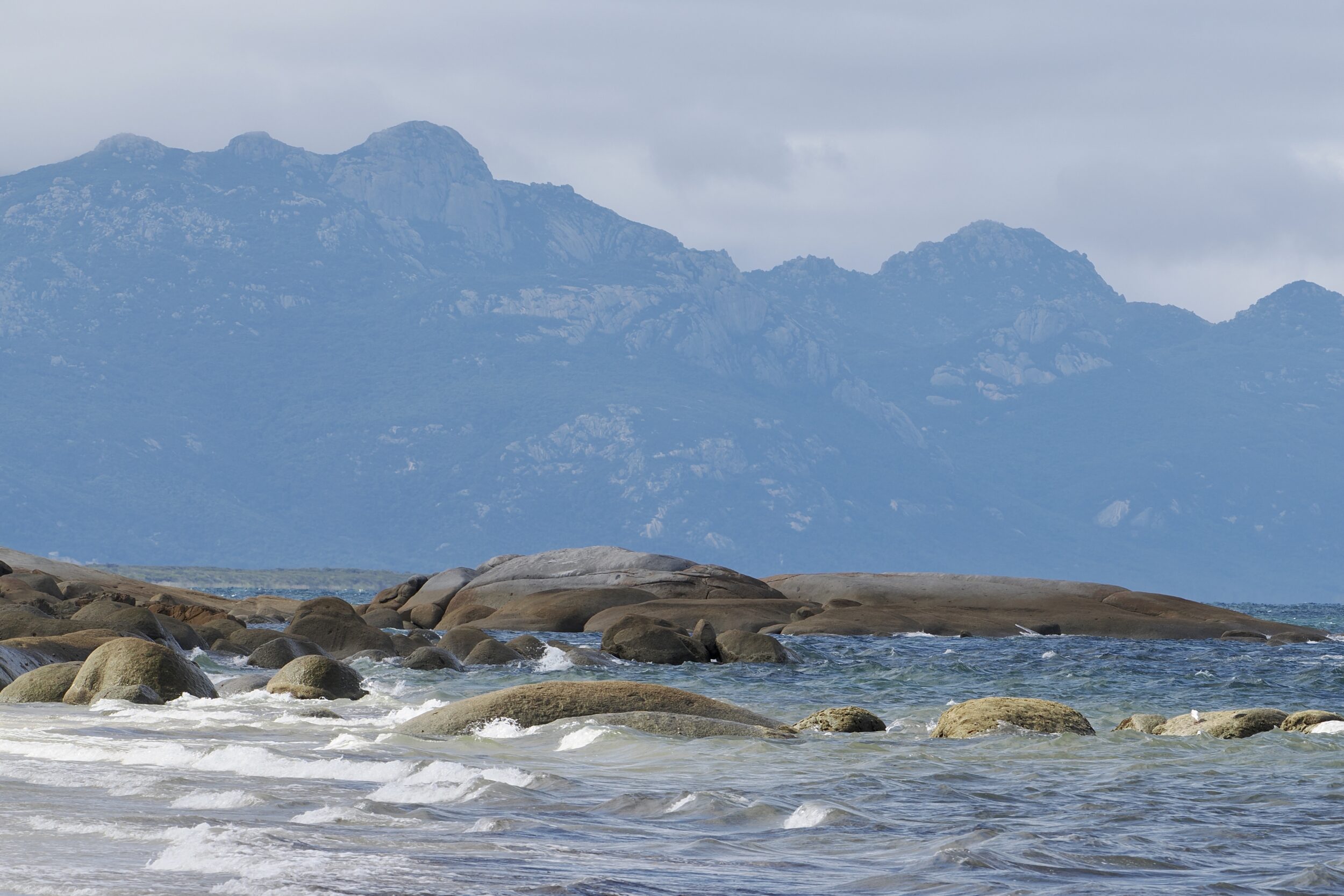
The featured image involved a telephoto lens; its 400mm focal made Flinders’ highest peaks look very much closer than they actually were.
It also emphasised the ruffled water and the rocks, immediately off the shore on which I stood.
Leave a Comment