This post’s photo was taken less than one minute after the previous post’s.
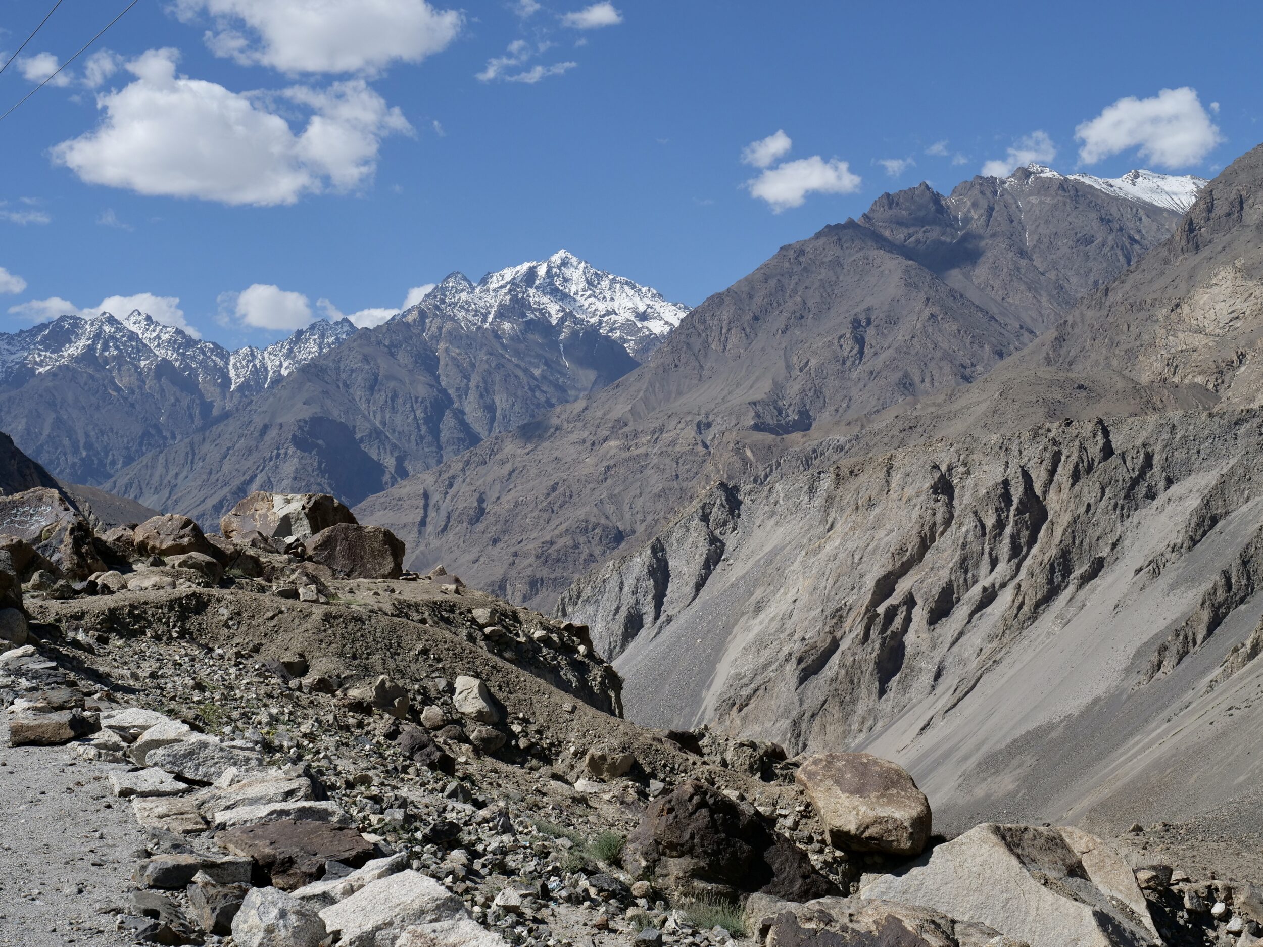
For the “#19” image I was looking west-ish, back over my shoulder, and up.
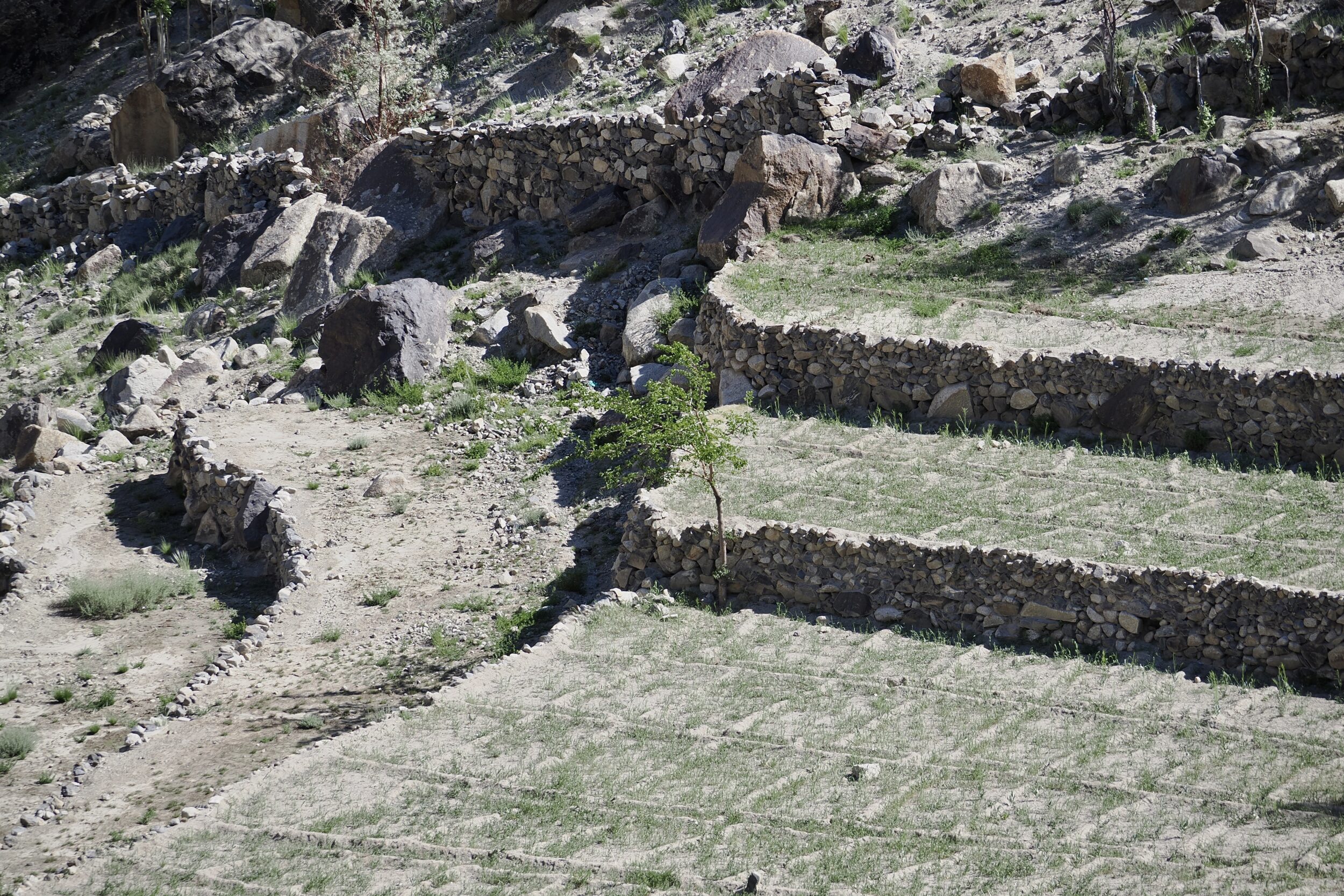
For this post’s photo I looked ahead – east-ish, downhill, and over to the other (non-Indus) side of the road.
Most of Gilgit-Baltistan’s substantial settlements – and agricultural land – are in relatively low places, near rivers that run along the “floors” of deep Karakoram valleys.
Generally, these are places where very little rain falls; often, the average annual total is below 100 mm.
The actual total is hugely variable, from one year to another.
Arable/potentially-arable land is very scarce.
All local agriculture is irrigation-dependent, and requires a prodigious amount of maintenance, almost all which is done manually.
Comments closed