Skip to content →

Month: July 2024

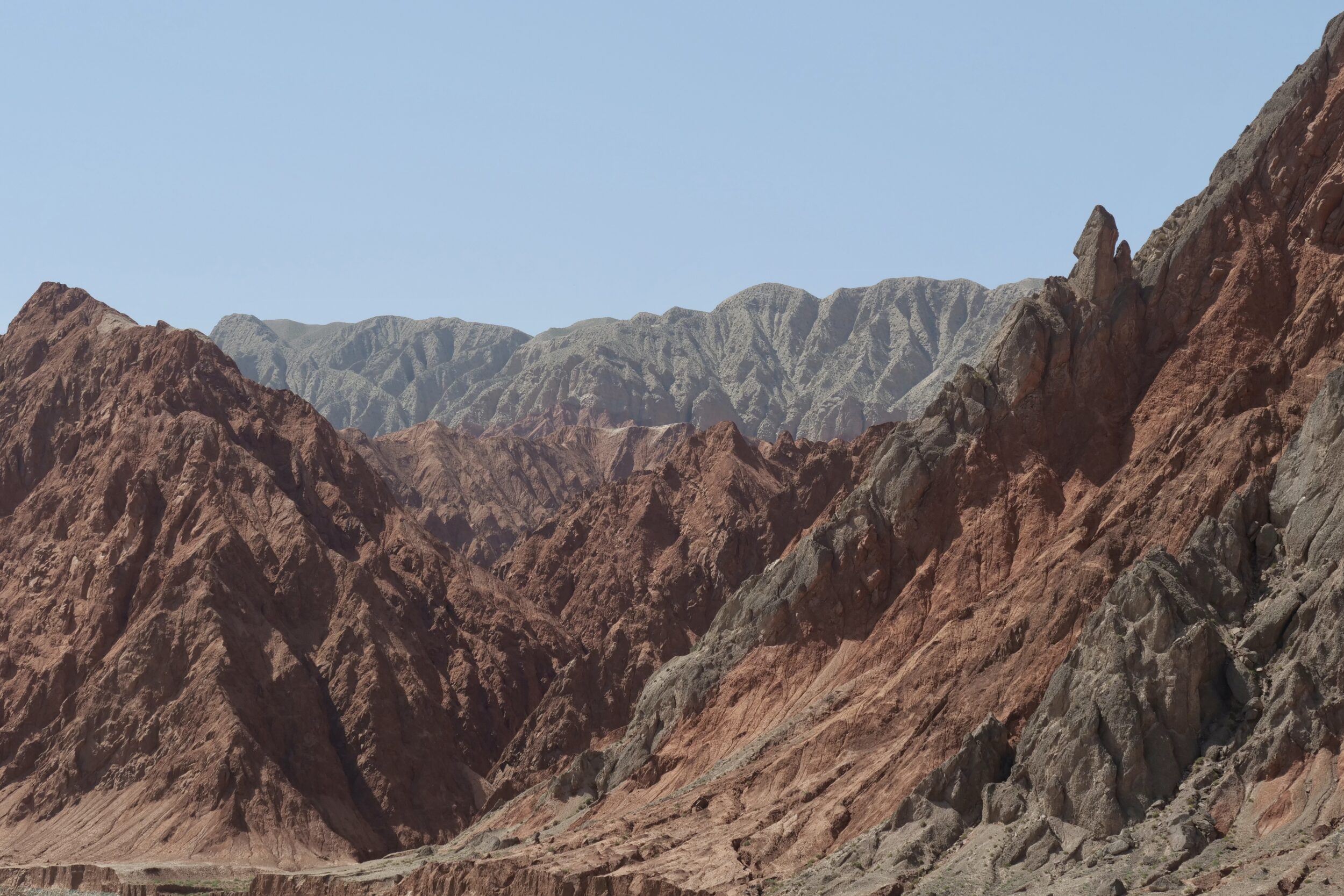
Triple K “expedition” (#41 in teaser series: Ghez River Canyon)


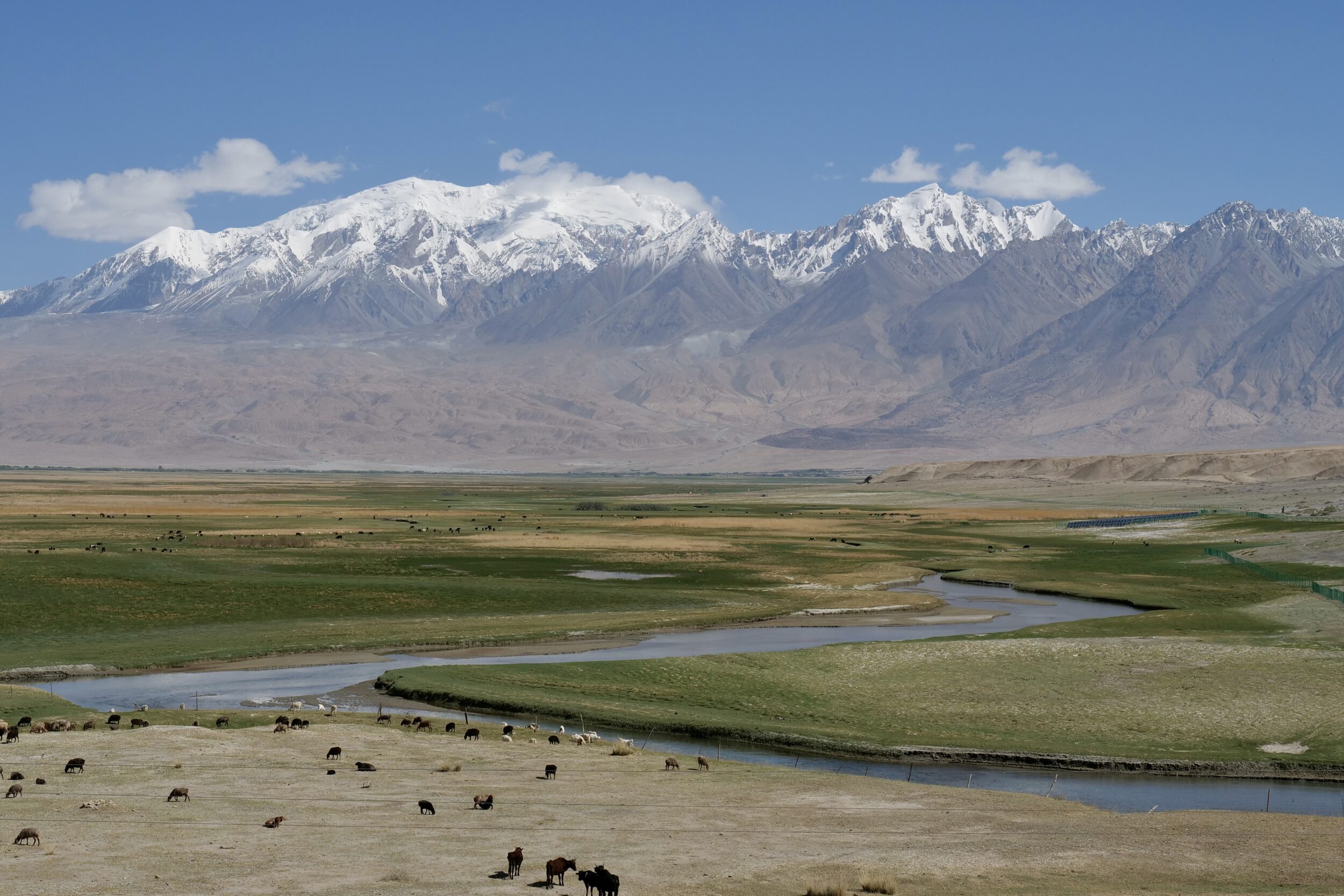
The pictured location is circa 80 minutes driving distance from White Sand Lake, and within two hours or so of downtown Kashgar.

(astonishingly low speed limits apply to buses on the Chinese section of the Karakoram Highway, even in benign weather. The road itself is excellent. A rational, less rigid approach to speed limits would enable considerably shorter, safe driving times on days when ice and snow are entirely absent from the Highway’s surface. On the day when the rules become rational, motorists should be sure to wave at the pigs who’ll then be flying high, above)

I took this photo from the bed of the Ghez River, adjacent to where it is crossed by the Karakoram Highway.

Comments closed
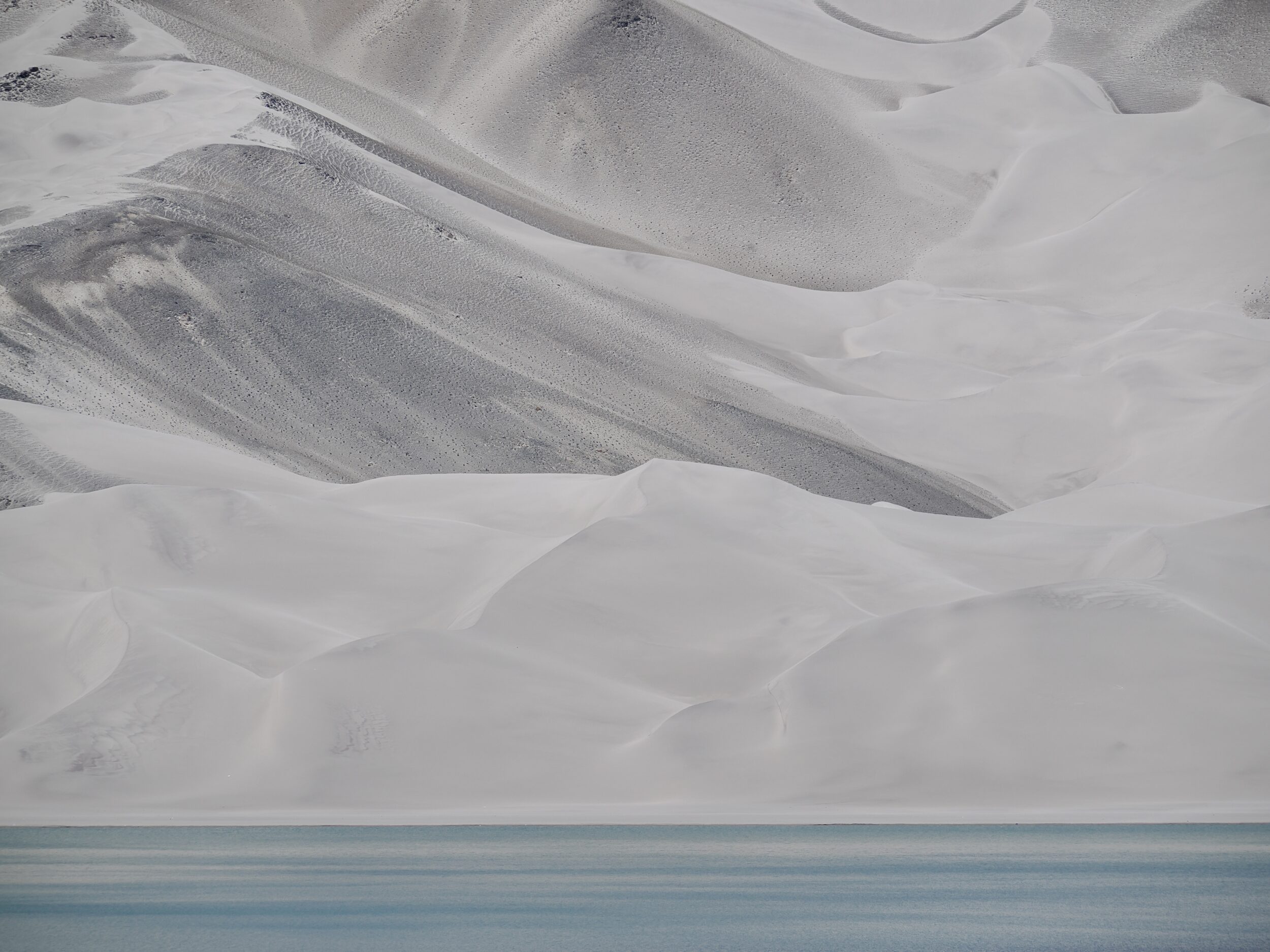
Triple K “expedition” (#40 in teaser series: White Sand Lake)


“White Sand Lake” is the most common of many names given to the pictured place.

Some call it a lake, others call it a mountain.

The lake’s surface is circa 3,300 metres above sea level, on the Pamir Plateau.

It is adjacent to the Karakoram Highway, around 150 kilometres south of Kashgar city.

Comments closed

Triple K “expedition” (#39 in teaser series: al fresco lunch, a little more than 3,600 metres ASL)


Not directly present in my photo, but close by and clearly visible to any sighted human, standing a few footsteps away from our table: Karakul Lake – the Pamir Plateau’s highest substantial lake.

The highest of the mountains that look down upon its shores is more than 4, 000 metres further above sea level.

Among mountains outside of the Himalaya, Karakoram and Hindu Kush ranges, Kongur Tagh (7,649 metres, the Pamirs’ tallest) is the highest of them all.

Our lunch was absolutely delicious; “great view” and “great food” are not always mutually-exclusive.

Comments closed

Triple K “expedition” (#38 in teaser series: tourism at Karakul Lake)


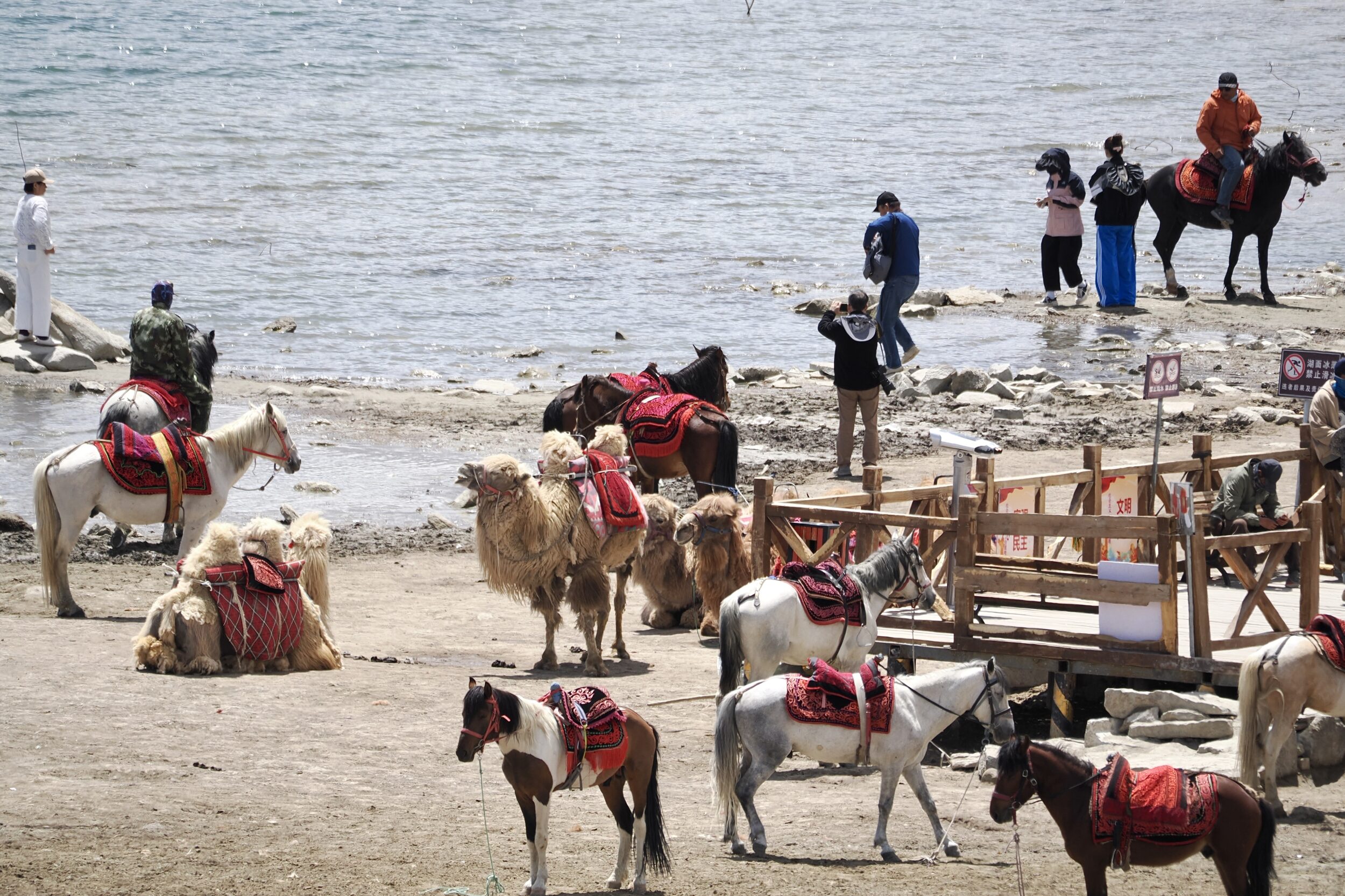
Upon reaching the very popular tourist stop beside Karakul Lake –  just off the Chinese section of the Karakoram Highway, between Tashkurgan and Kashgar –  I understood the purpose of the horse and rider pictured in this series’ previous post.

For the moment at least, they were engaged in the tourism trade, rather than herding.

Comments closed

Triple K “expedition” (#37 in teaser series: single-horsepower Mercedes?)


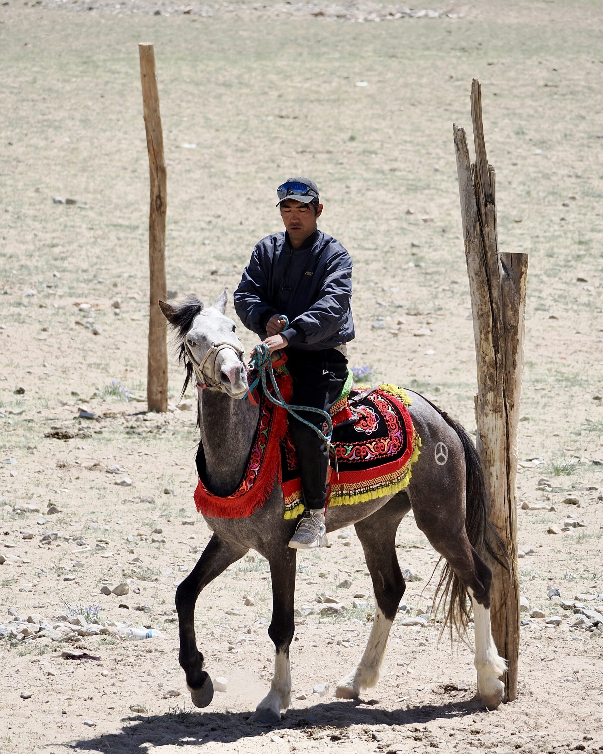
Obviously, the pictured horse is not a “Merc”, I am sure that Mercedes is not its name, and there is no reason to believe that the rider’s other horse is a Porsche.

Still, I was greatly surprised to see a 3-star-branded steed.

When I took this photo we were only a few kilometres from Karakul Lake, in China’s northwestern corner, where several international borders are very much closer than is Beijing.

At 1.21 pm on 24 May 2024, I thought we were looking at one of a group of several nomadic/quasi-nomadic herders, and their horses.

However, I was puzzled by the apparent absence of sheep, goats or cattle…

Comments closed

Triple K “expedition” (#36 in teaser series: en route to the third “K”)


On 24 May 2024 we travelled from Tashkurgan (China’s westernmost substantial town) to Kashgar, aka “Kashi”.

For many centuries Kashgar – the third of our “expedition”’s three Ks – was a major hub on “The Silk Road”.

In the direction we drove, our route was the Karakoram Highway’s final 291 kilometres.

The Chinese section’s landscapes are generally less “vertiginous, on both sides” than are those along the Highway’s actually-Karakoram, Pakistan section.

From Tashkurgan through to Kashgar, vistas tend to be much wider, more likely to be rimmed by mountains rather than absolutely dominated by them.

Big mountains and glaciers are still abundant.

Comments closed

Triple K “expedition” (#35 in teaser series: heading for the border)


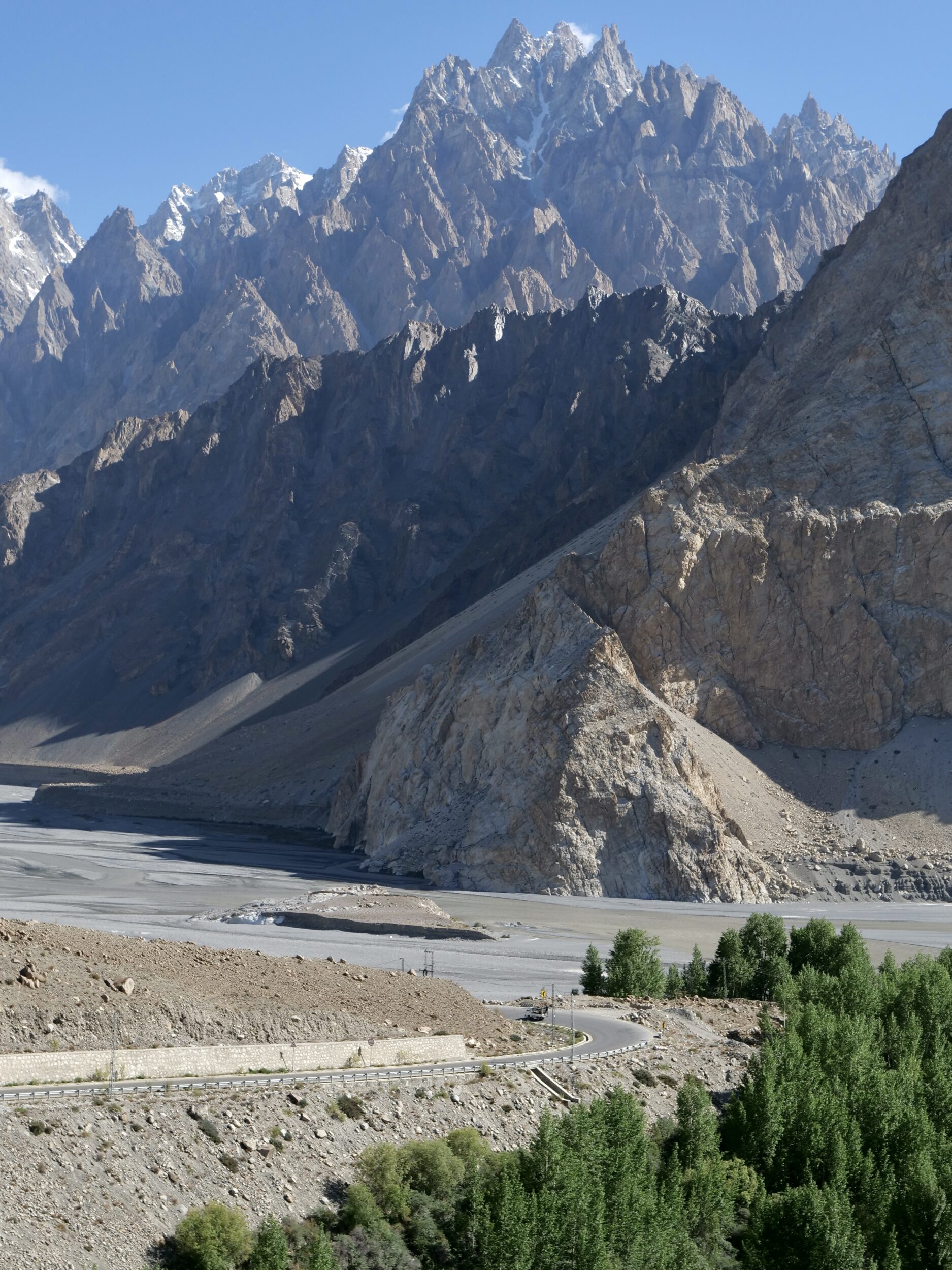
You are looking at the Passu Cones, aka “Passu Cathedral”, or Tupopdan.

These “cones” reach 6,106 metres ASL – a relatively modest altitude, by Karakoram peaks’ standards.

Nonetheless, the Passu Cones are among the more amazing mountains, anywhere.

I took the photo at 8.09 am on 23 May 2024; we had left the Hunza Valley one hour earlier, and were heading along the Karakoram Highway, bound for China.

At that moment the Pakistan/China border was less than 70 kilometres away, but a long way up; the border crossing sits atop the Khunjerab Pass.

Comments closed

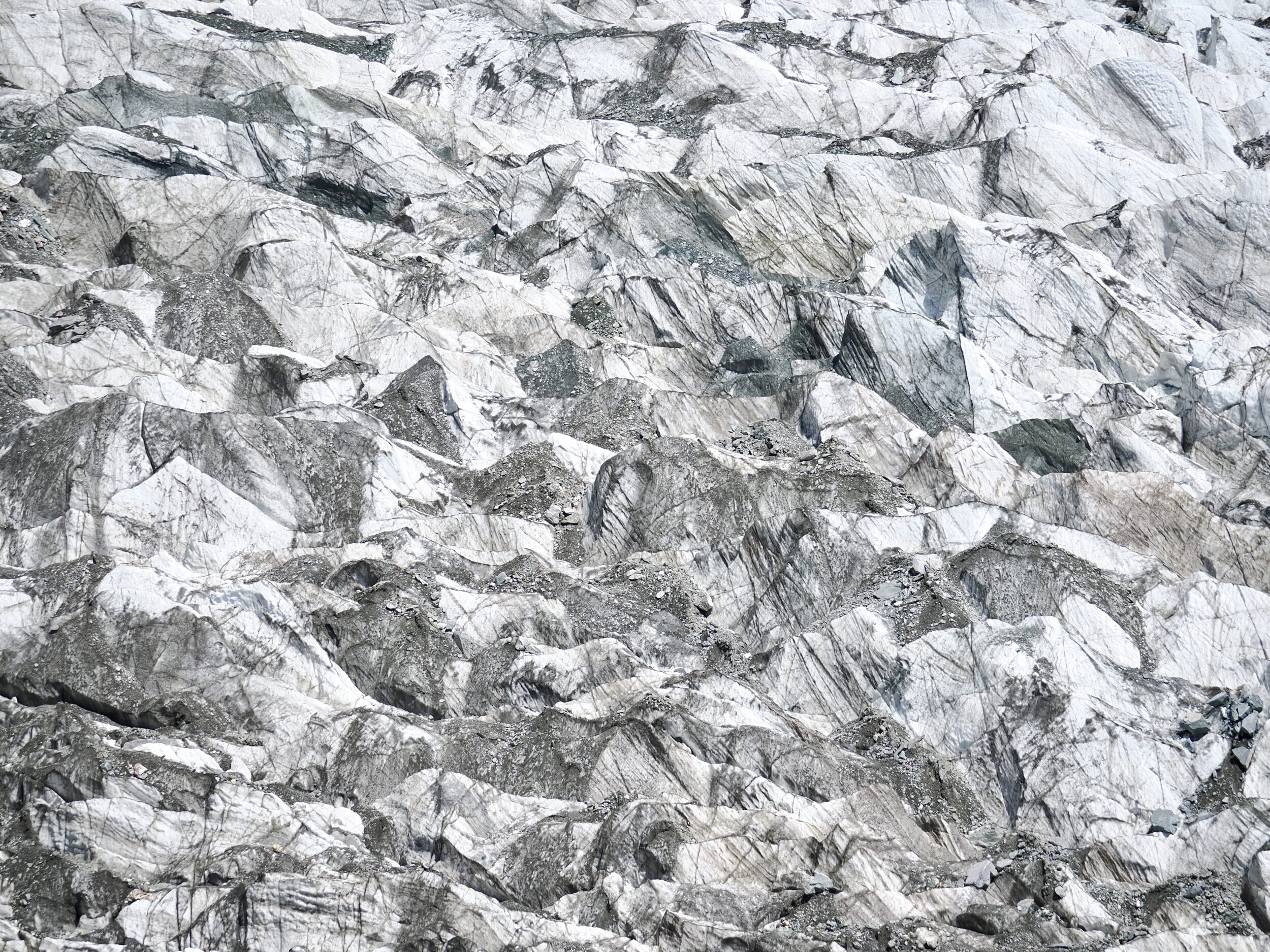
Triple K “expedition” (#34 in teaser series: Hoper Glacier)


This post reveals the nature of what #33 in this series was also looking at – a glacier’s surface.

This post shows rather more of the same glacier, which is one of circa 7,000 in Pakistan.

Outside polar and near-polar regions, northernmost Pakistan is the most-glaciated place; the Karakoram has several of the world’s longest and biggest, non-polar “rivers of ice”.

You are looking at what is most commonly known as the Hoper Glacier, but sometimes rendered as “Hopper”, “Hopar” and “Hooper”.

It also has another name, altogether: Bualtar Glacier.

Its nickname: “the black glacier”.

Reportedly, the Hoper/Bualtar is currently the world’s second-fastest-moving glacier.

Comments closed

Triple K “expedition” (#33 in teaser series: an artist’s creation?)


…or is that very uneven surface a naturally-eroded rock face?

Did I take the photo through a microscope?

Was I merely a few centimetres away from what my camera “captured”?…or many metres distant?

All will be revealed in this series’ next chapter.

Comments closed

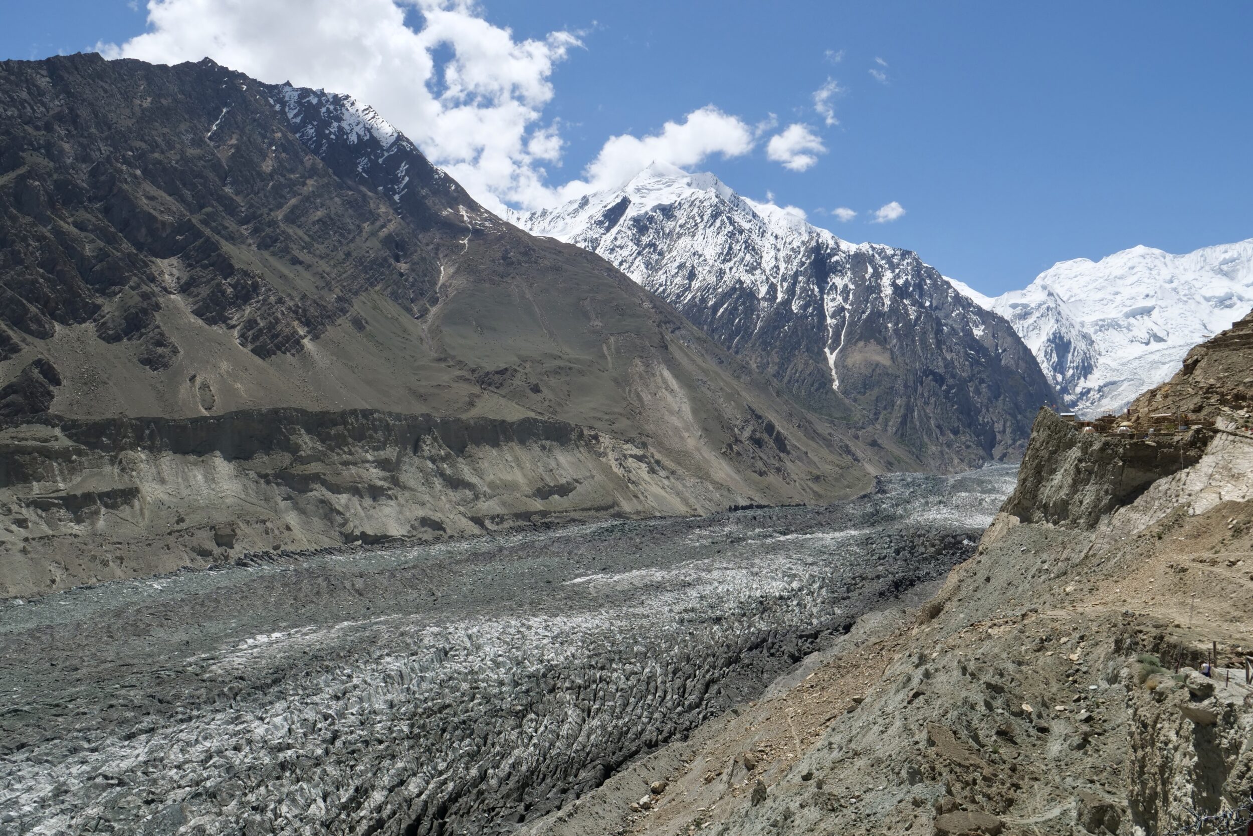
Triple K “expedition” (#32 in teaser series: Hunza Valley)


Among “our” planet’s “settled” places,  the Hunza Valley has very few peers in the “visual splendour” department!

It will get a deal of future attention, here.

However, this “teaser” series has just the one Hunza Valley image.

I took it from Eagle’s Nest which sits 2,850 metres ASL – around 500 metres higher than the (clearly-visible) Hunza River, on the valley floor.

Dominating the photo’s skyline is Rakaposhi; that huge mountain’s peak stands nearly five kilometres taller than the Eagle’s Nest.

Comments closed