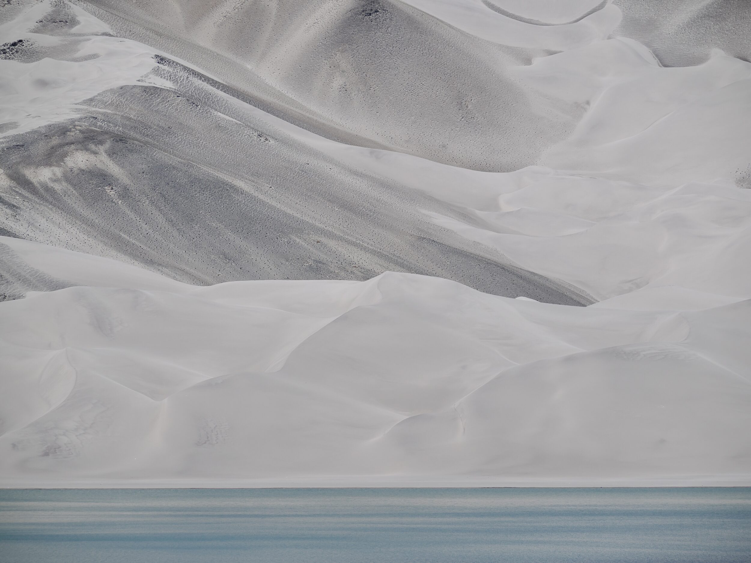
The pictured location is circa 80 minutes driving distance from White Sand Lake, and within two hours or so of downtown Kashgar.
(astonishingly low speed limits apply to buses on the Chinese section of the Karakoram Highway, even in benign weather. The road itself is excellent. A rational, less rigid approach to speed limits would enable considerably shorter, safe driving times on days when ice and snow are entirely absent from the Highway’s surface. On the day when the rules become rational, motorists should be sure to wave at the pigs who’ll then be flying high, above)
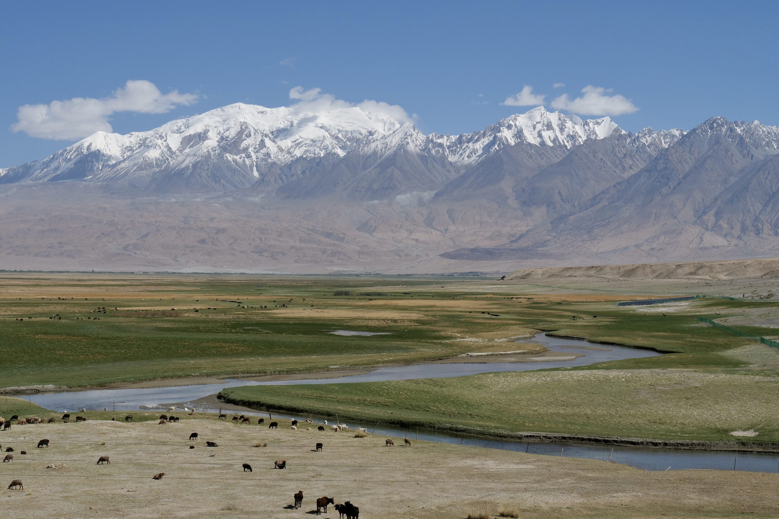
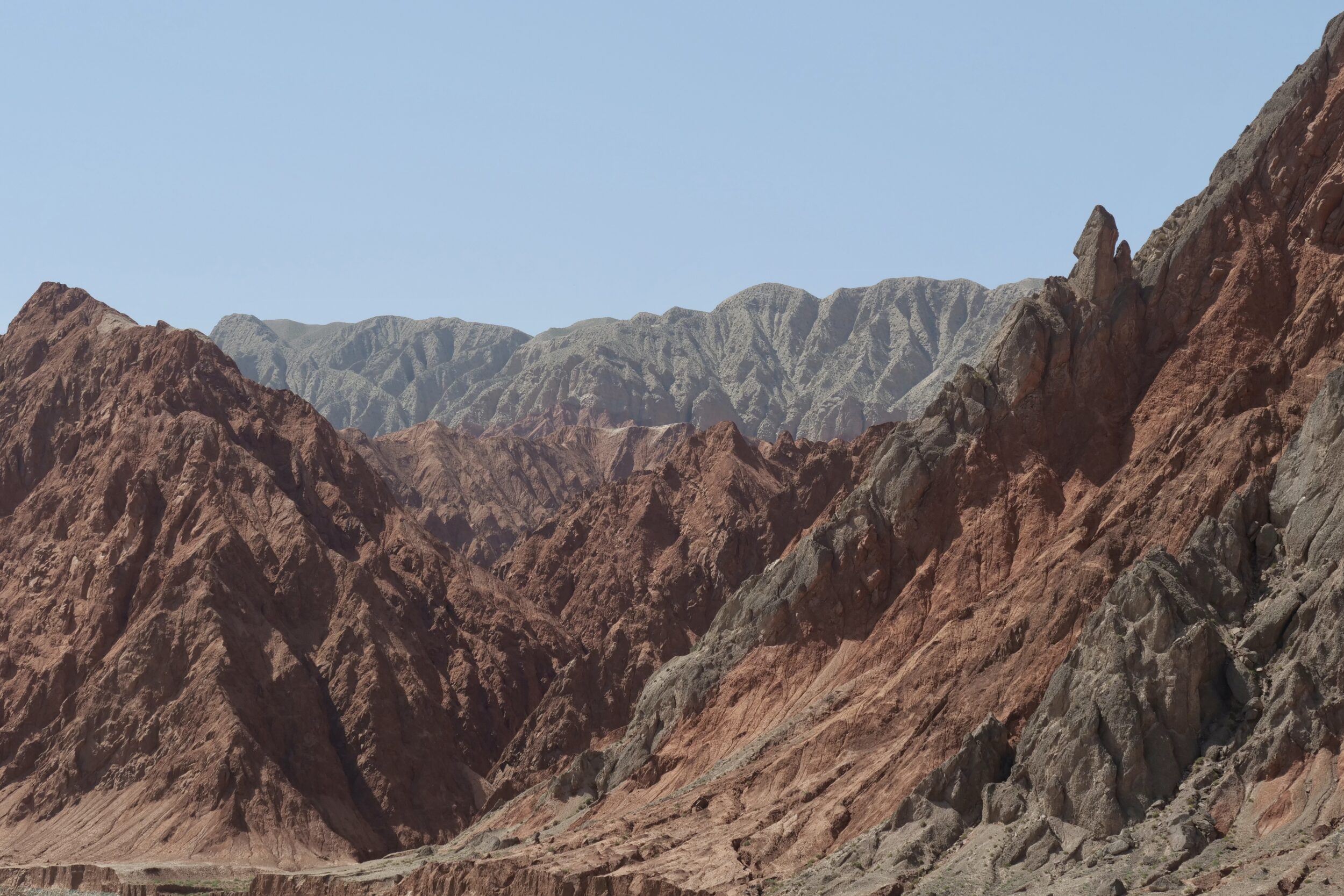
I took this photo from the bed of the Ghez River, adjacent to where it is crossed by the Karakoram Highway.
Comments closed