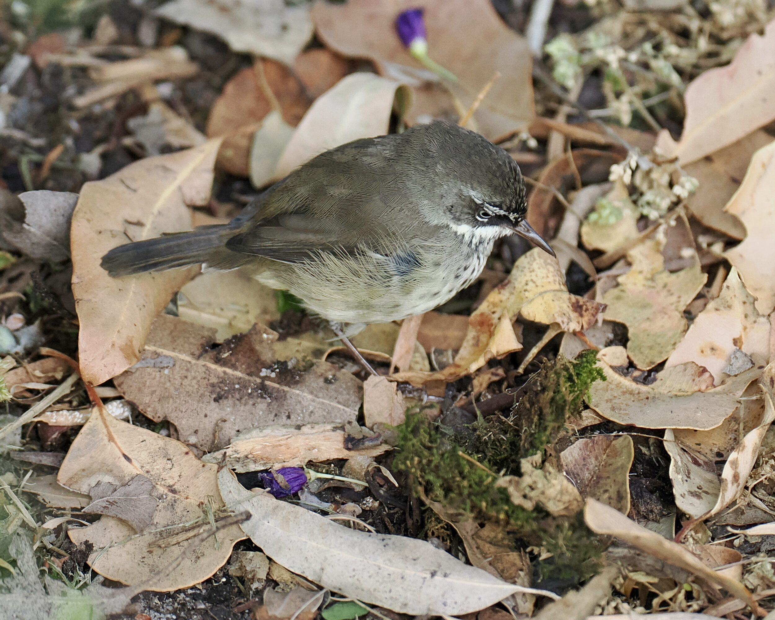
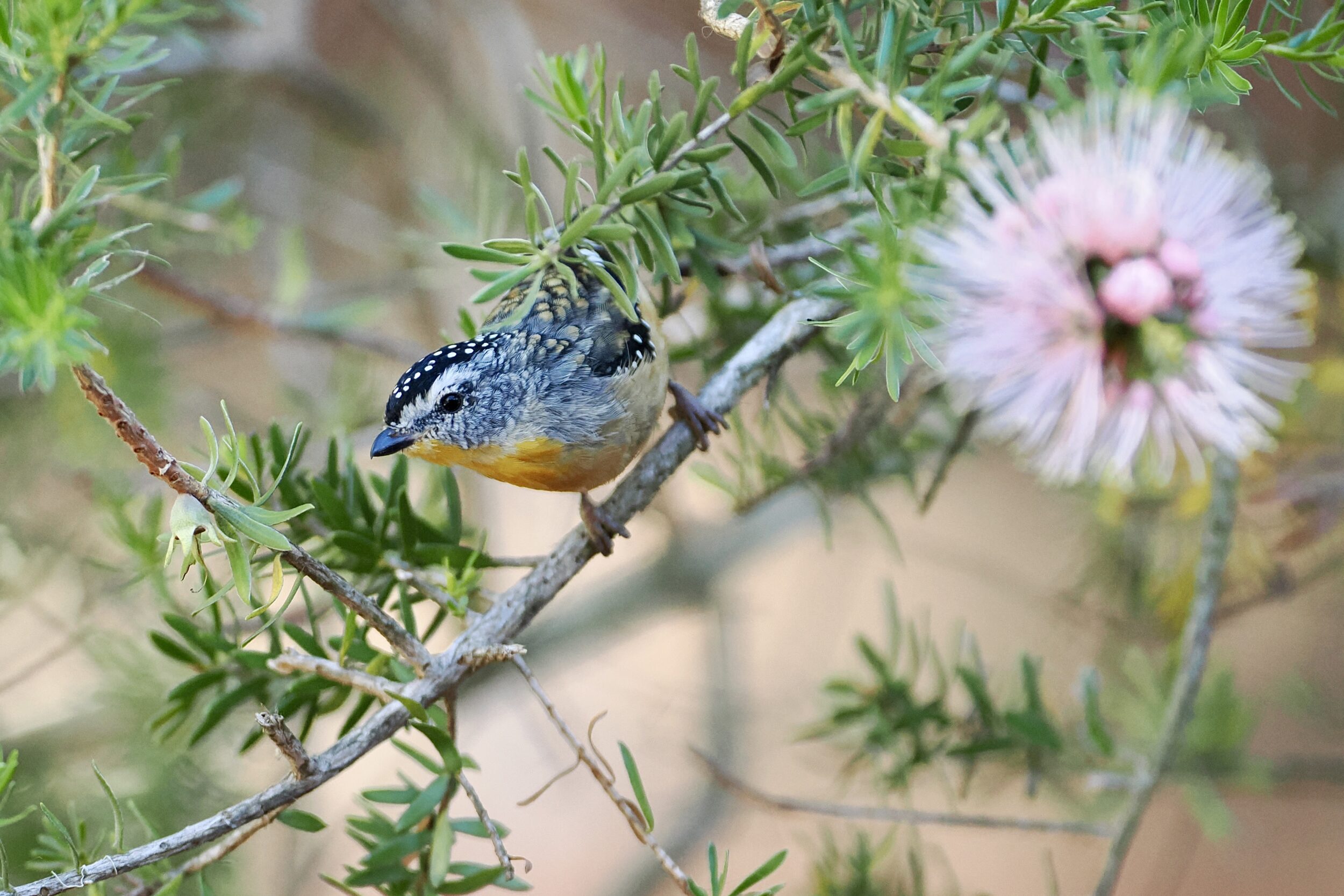
I am almost certain that the pictured bird is a spotted scrubwren, Sericornus maculatus – the southwestern Australian version of southeastern Australia’s white-browed scrubwren.
The “spotted” and the “white-browed” were formerly regarded as two subspecies.
Since 2019, the prevailing classification regards them as two distinct species…albeit ones that are known to interbreed where their ranges overlap, around Adelaide.
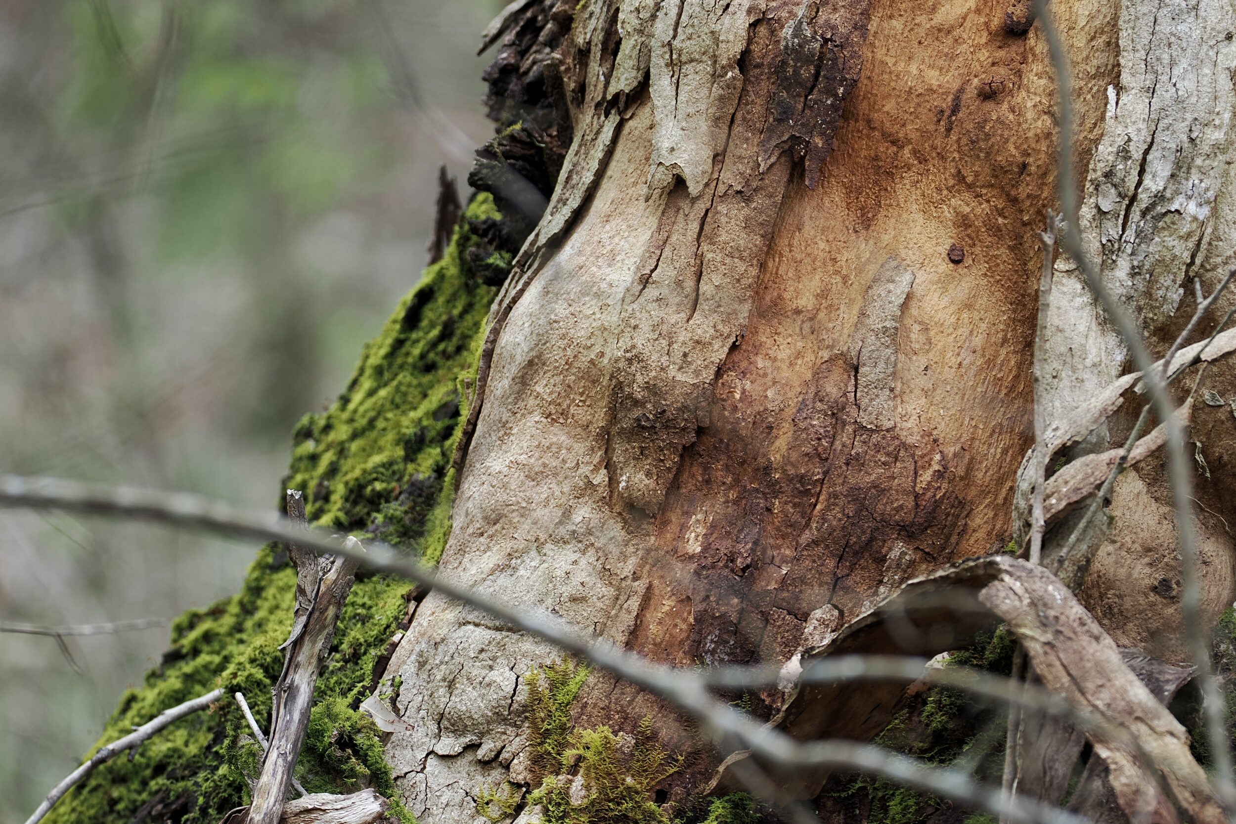
The spotted scrubwren lives in densely vegetated places along the coastal “fringe”, from Adelaide, through to Shark Bay.
Currently, four subspecies are generally recognised.
Glimpsed fleetingly, spotted scrubwrens appear to be “drab”, but a closer view reveals that their plumage is in fact finely detailed.