This series has more birds, but not just yet; the next several episodes look at details of a forest.
These chapters are the fruit of a short walk on a wintry summer’s day.
50 kilometres northeast of Albany, the Porongurups are a “modest” mountain range – only about 15 kilometres long.
They rise no higher than 670 metres ASL, but have enough altitude – and are close enough to the Southern Ocean – to create their own microclimate.
The Porongurups are much cooler and also very much more moist than is everywhere else within sight of them.
They are remnants of what, more than one billion years ago, were much mightier mountains.
The Porongurups are a series of still-dramatic granite peaks & domes.
Their lower slopes are an “island” of forest, dominated by tall Karri trees.
Also present: an incredible array of flora and fungi.
All Porongurup photos in this series were taken on the afternoon of 12 February 2025 – a cool, overcast, hazy day.
Usually-grand vistas were rendered invisible or drab; this was a day for enjoying the cool weather and looking at what was within a few metres of one’s eyes and feet.
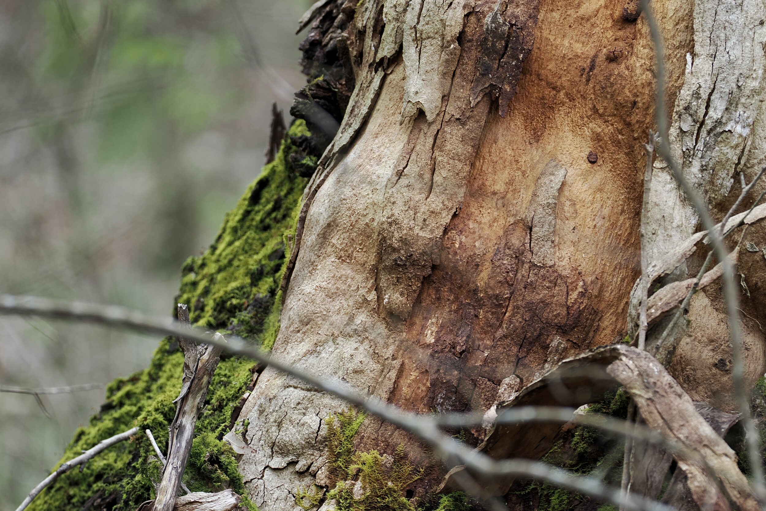
The photo shows the base of a great survivor.
When the big fire of February 2007 burnt through 95% of Porongurup National Park, this Karri tree had already lived for at least two centuries.
Click this for more info, maps, and landscape photos of the Porongurups.
Comments