Wilsons Promontory is as far south – 39°00′48″ – as mainland Australia goes:
Its “convenient” location – a whisker more than 200 ks southeast of Melbourne – ensures that a great many people do go to “the Prom”.
Still, if one avoids weekends and school holidays, and one gets more than a kilometre away from the National Park’s hub/quasi-town at Tidal River, one’s “Prom” experience is unlikely to be afflicted by overcrowding.
Its magnificence is readily apparent, substantially intact, and there are many excellent and varied walking trails.
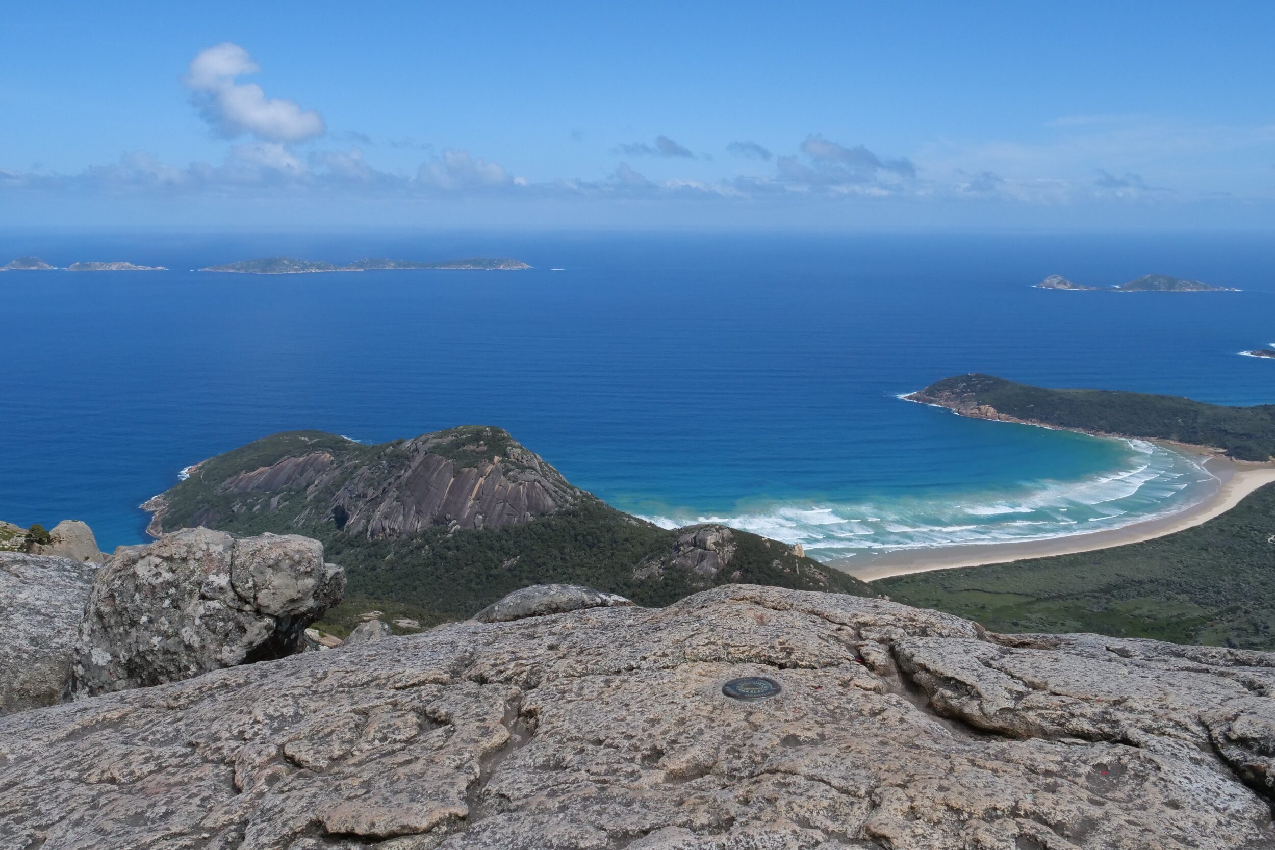
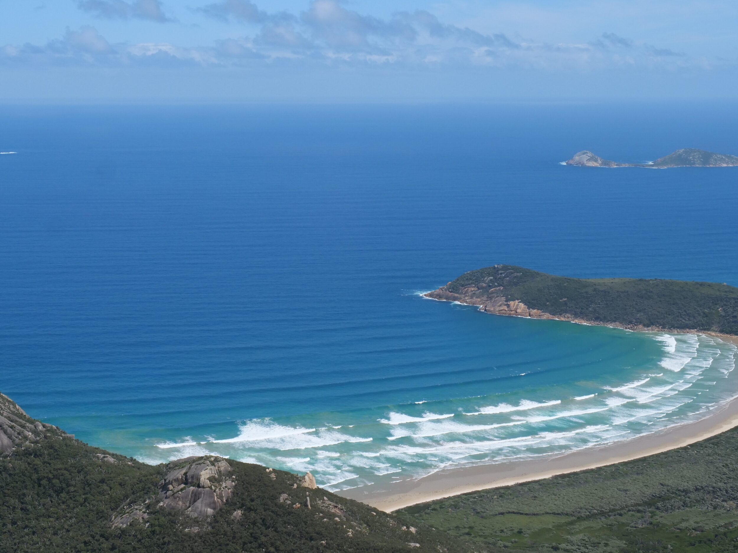
Both of this post’s photos were taken from the summit of Mount Oberon, 558 metres ASL
Park HQ etc are just beyond the right hand side of the featured image; the mouth of the actual Tidal River – at the far end of Norman Beach – is visible, just within the image.
My beloved and I were “looking down on” the Australian mainland’s southernmost 2WD-accessible, sandy beach.
(Continental Australia’s southernmost sandy strands – at Little Oberon Bay and Oberon Bay – are also at the foot of Mt Oberon. They are beyond the photo’s left hand edge. To reach them, one has to undertake a substantial hike, or engage in some inadvisable boatmanship)
The walk to Mt Oberon’s summit is not “treacherous”, nor particularly demanding.
Its “stairs on rock” final section is steep; otherwise, the ascent is a stroll on a wide, well-made path, winding through lovely forest.
Mt Oberon affords splendid vistas in every direction, most especially when one looks over Norman Beach, and out across the Gippsland edge of Bass Strait.
For the featured image, my lens’ focal length was “wide angle” – 30mm.
The photo below looks in roughly the same direction, but at 58 mm; this renders the landscape features’ relative sizes (and distances from each other) approximately as they would appear to a human’s naked eyes.
The Prom’s Wikipedia entry is here.
Click this for the National Park’s official site.