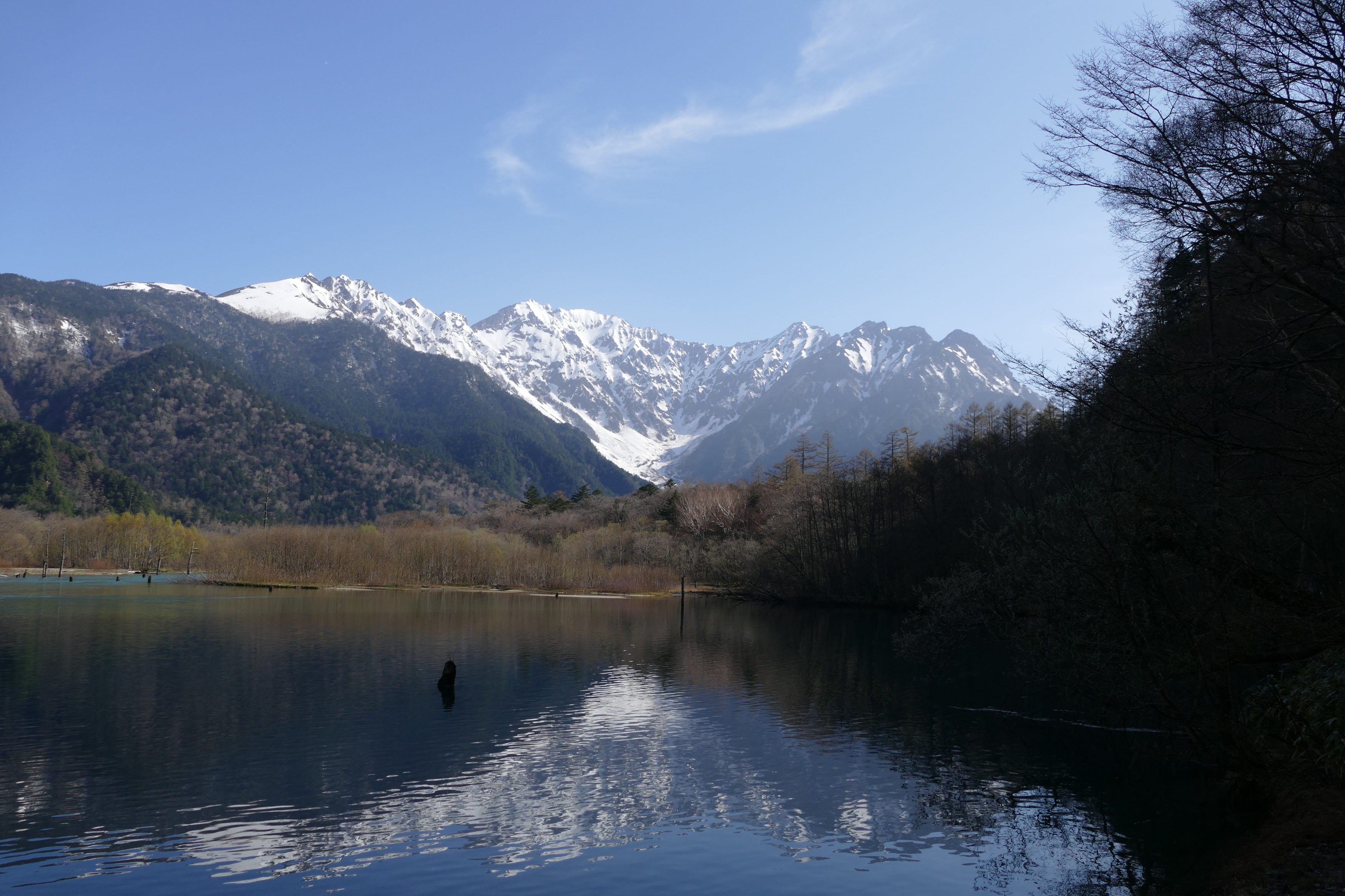
A Valley of contradictions. It is “isolated, remote”. You cannot self-drive into it. For much of the year it is snowbound, closed. However, each summer Kamikochi has hundreds of thousands of visitors; most are highly “packaged” daytrippers.
The Japanese Alps are on Honshu, Japan’s “main” island.
Click here to see where they are; Kamikochi is in the Hida Mountains, also known as the Northern Alps.
The valley floor is circa 1500 metres above sea level.
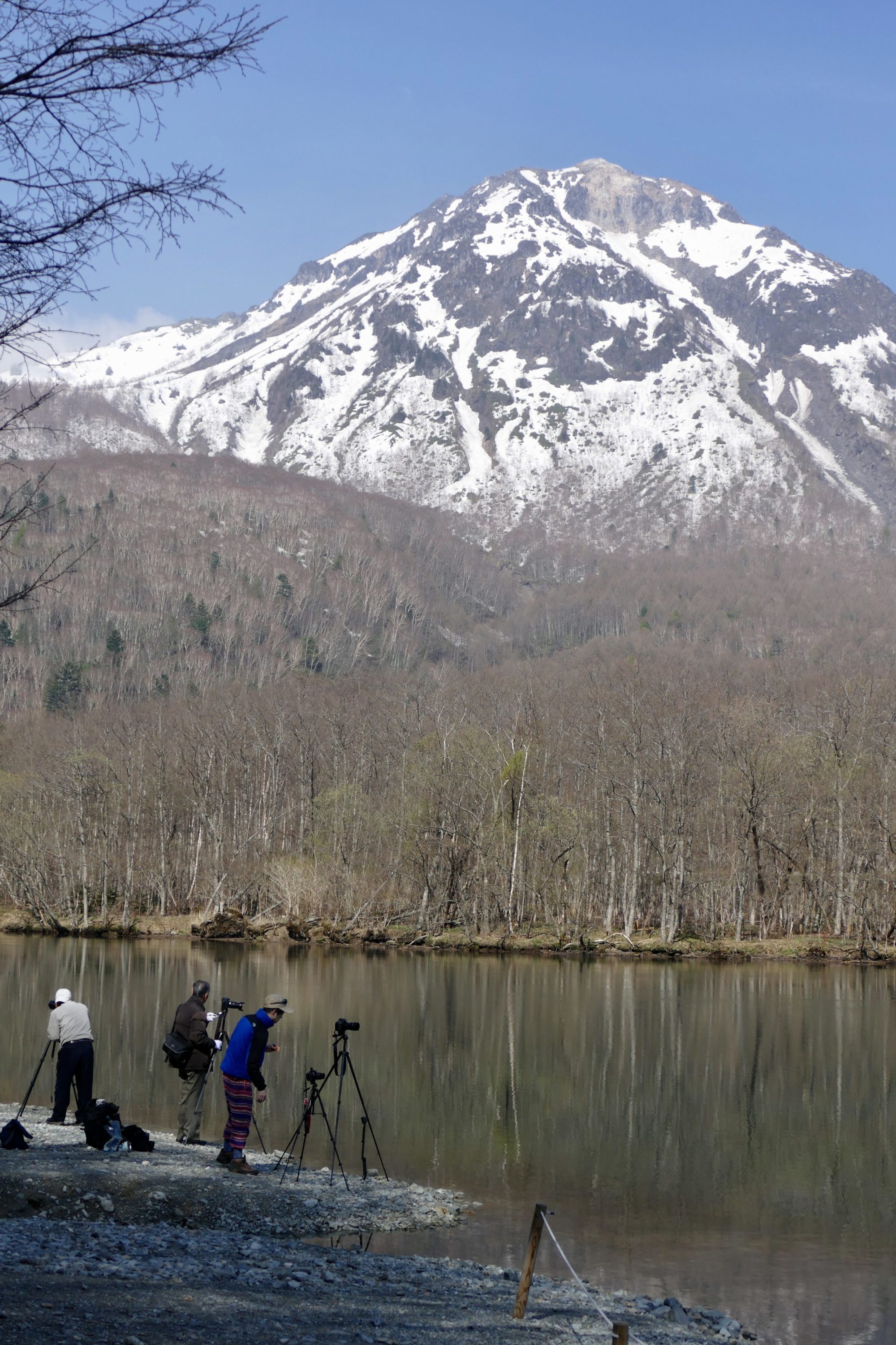
An active volcano overlooks its southern end. (Yake-dake, or Mt Yake, 2,455 metres. Its name means “burning mountain”)
Higher, more elegant mountains form the northern horizon. (Hotakadake, or Mt Hotaka, reaches 3,190 metres)
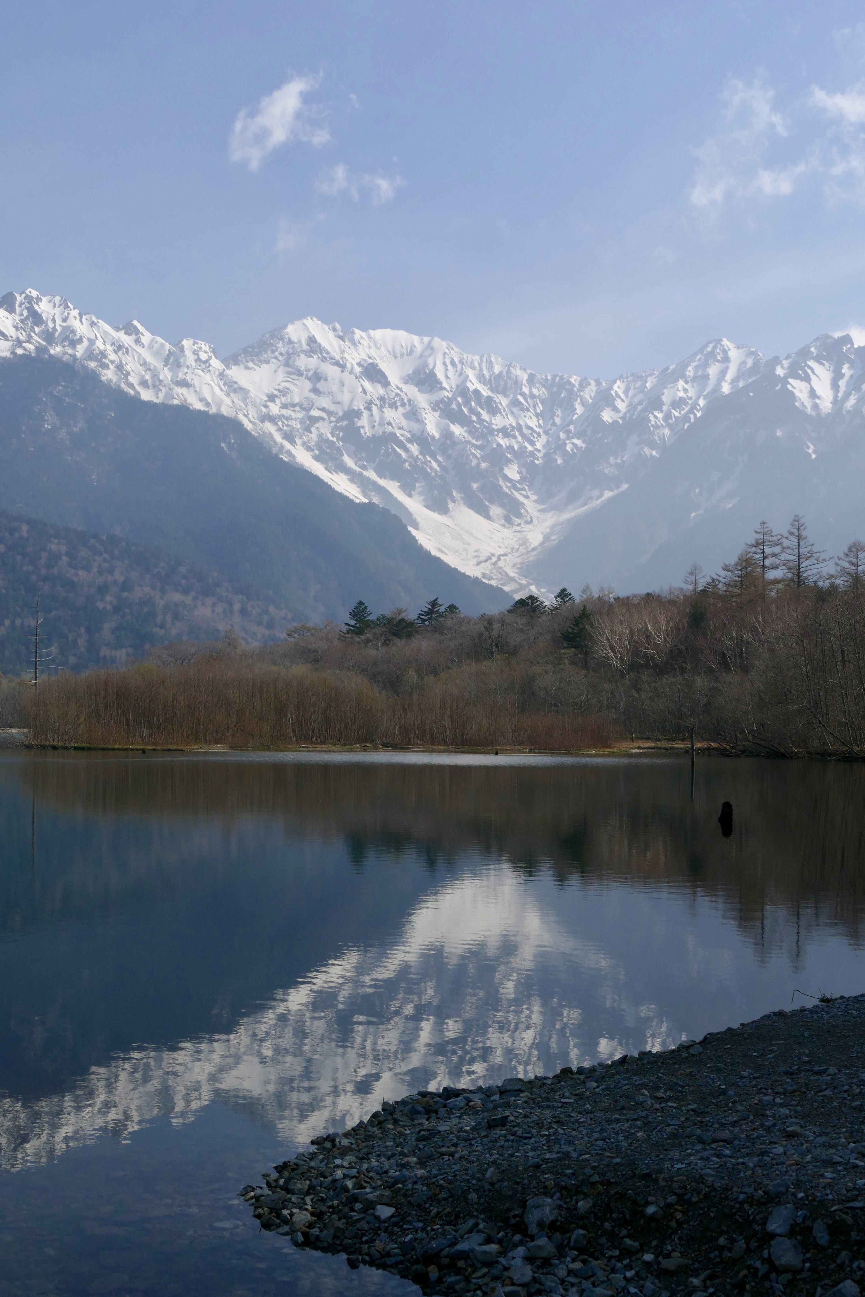
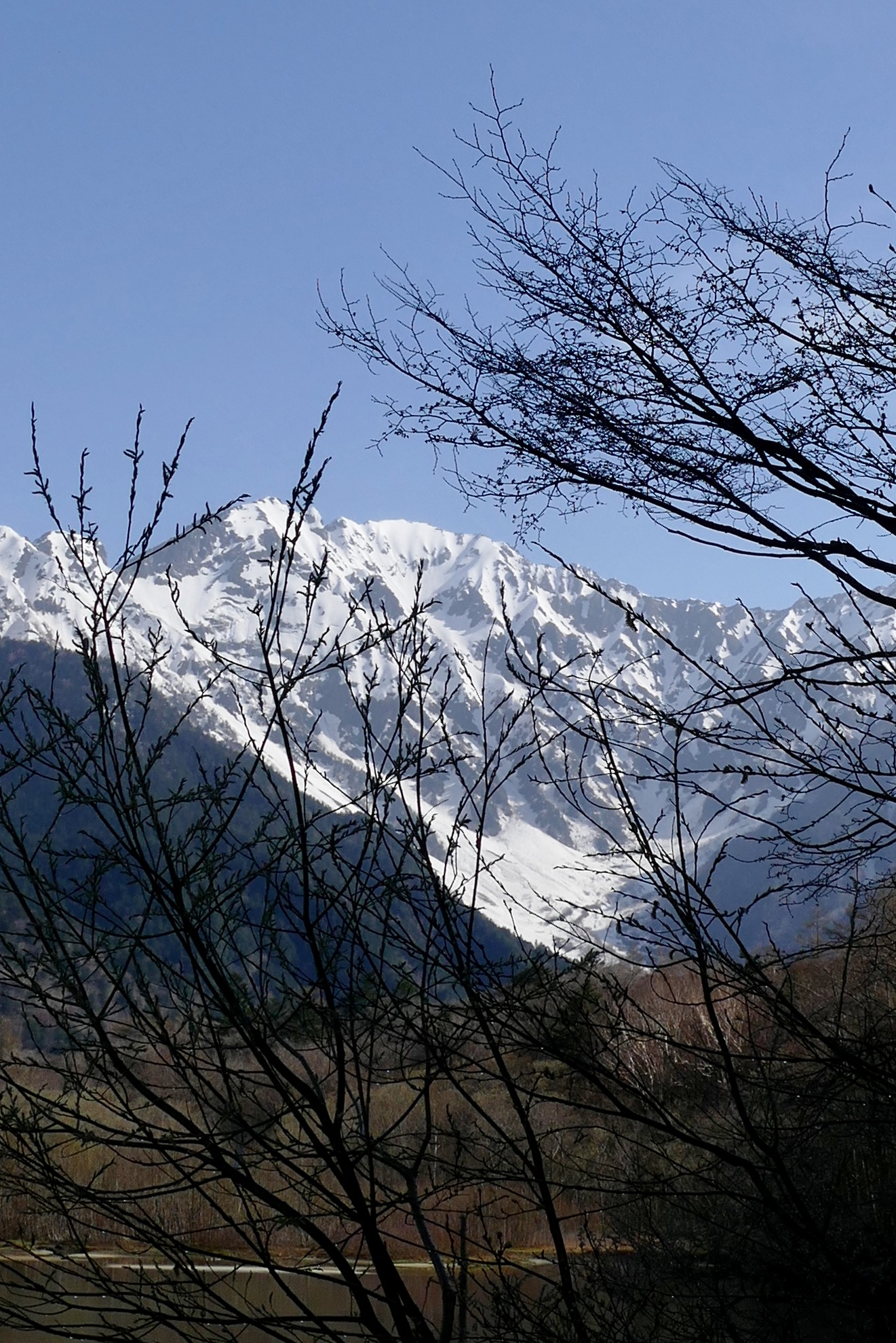
Flowing through the valley is the oft-braided Azusa River.
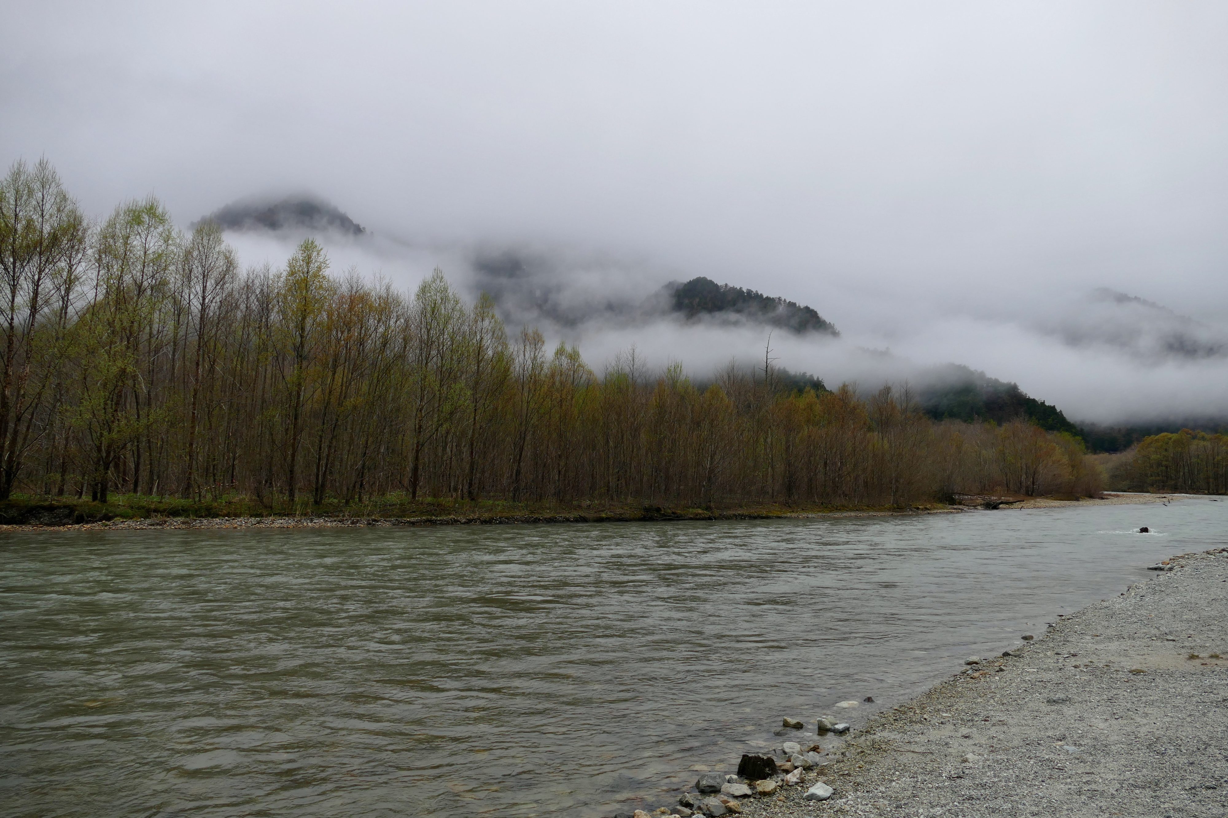
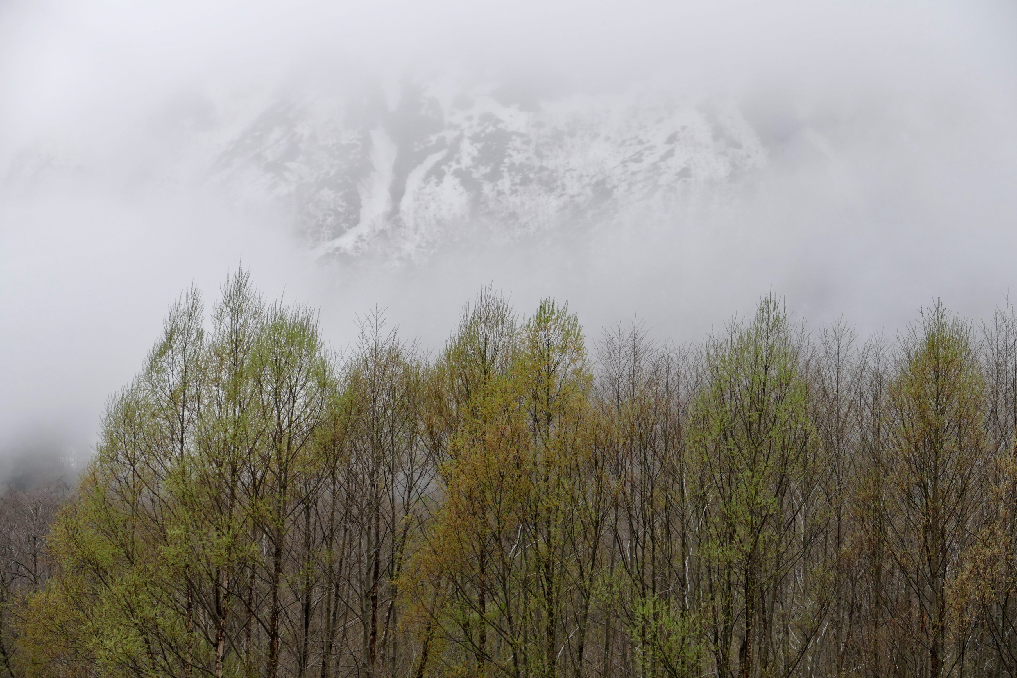
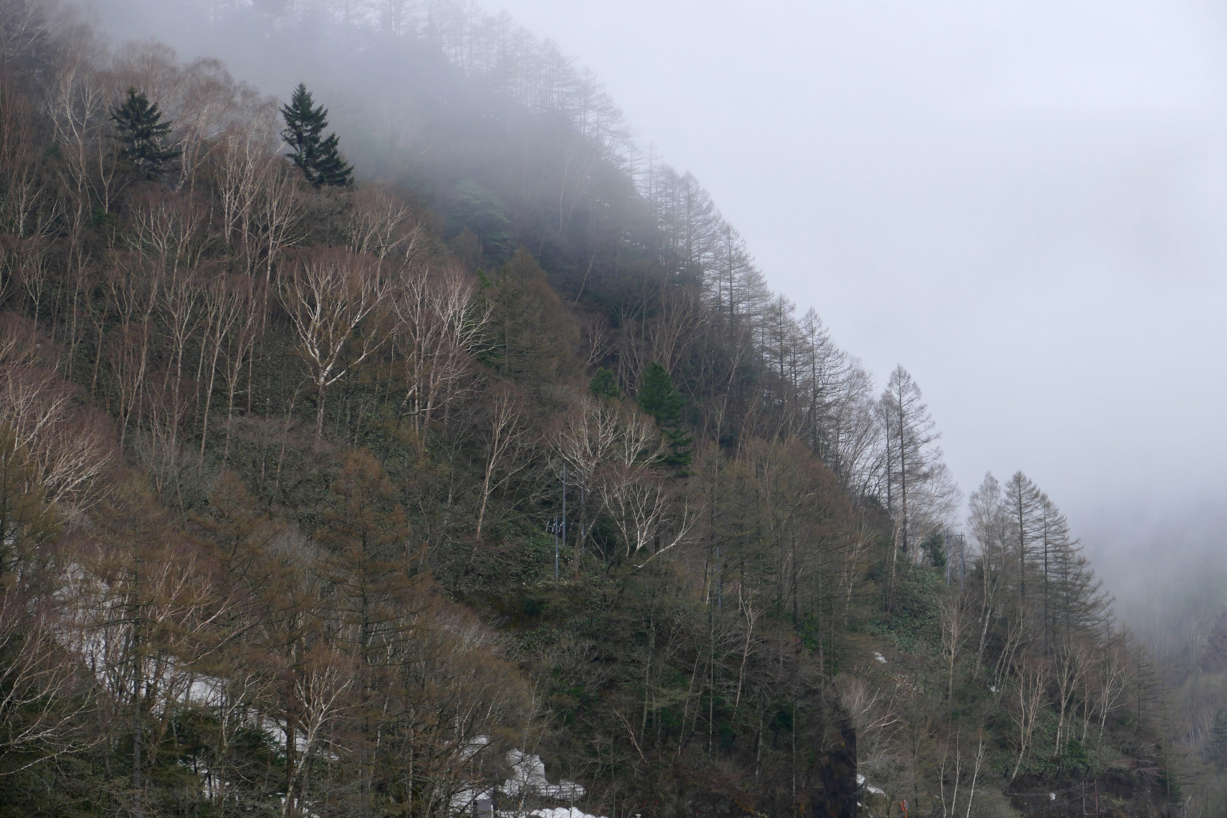
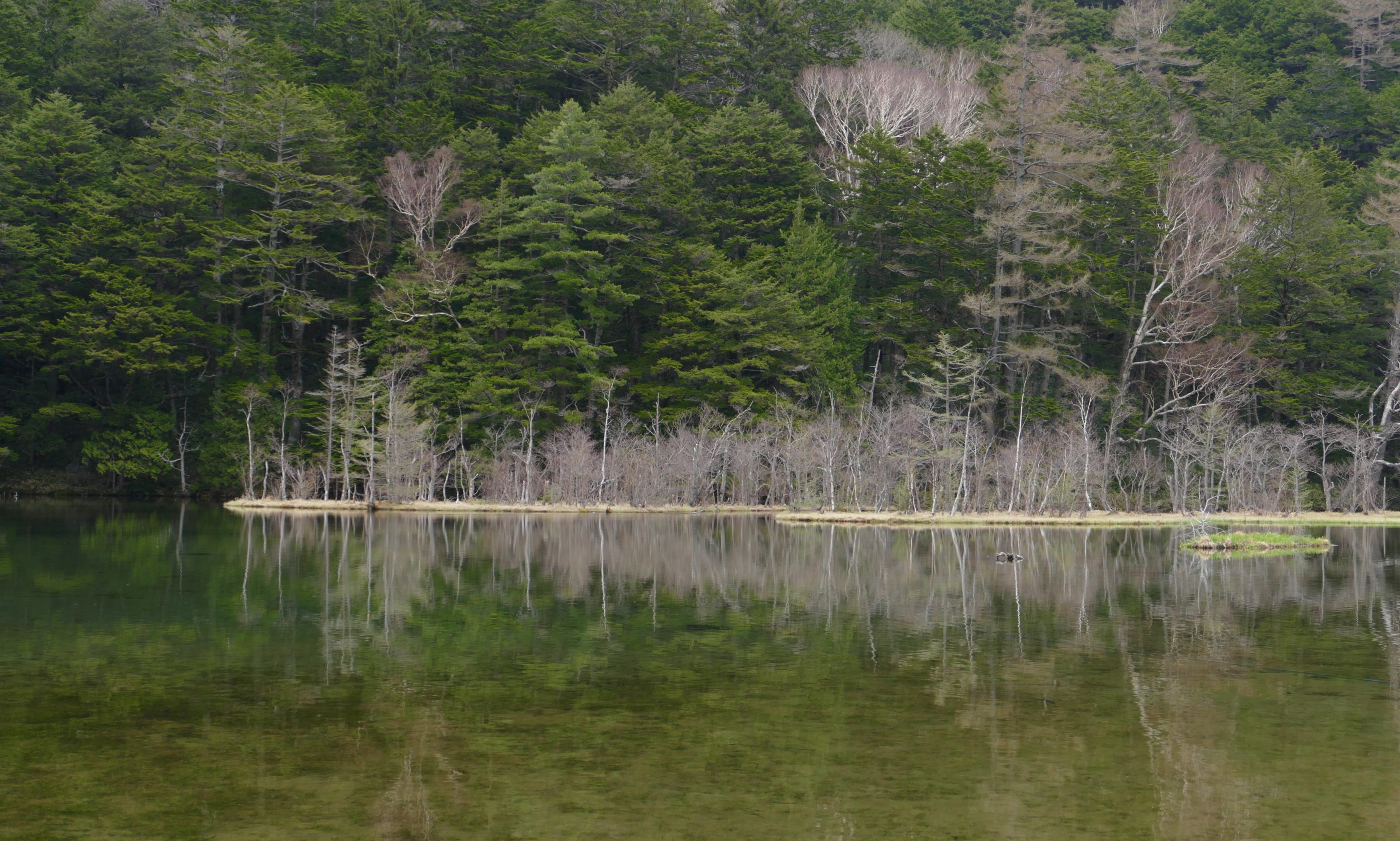
On the eastern flanks of the valley, the forests are a mosaic of evergreen conifers and deciduous trees. Depending on the time of year, their appearance will range from very lush to skeletal, riotously colourful to subdued. (and at least one locally prominent deciduous species – Larix kaempferi/the Japanese larch – is a conifer)
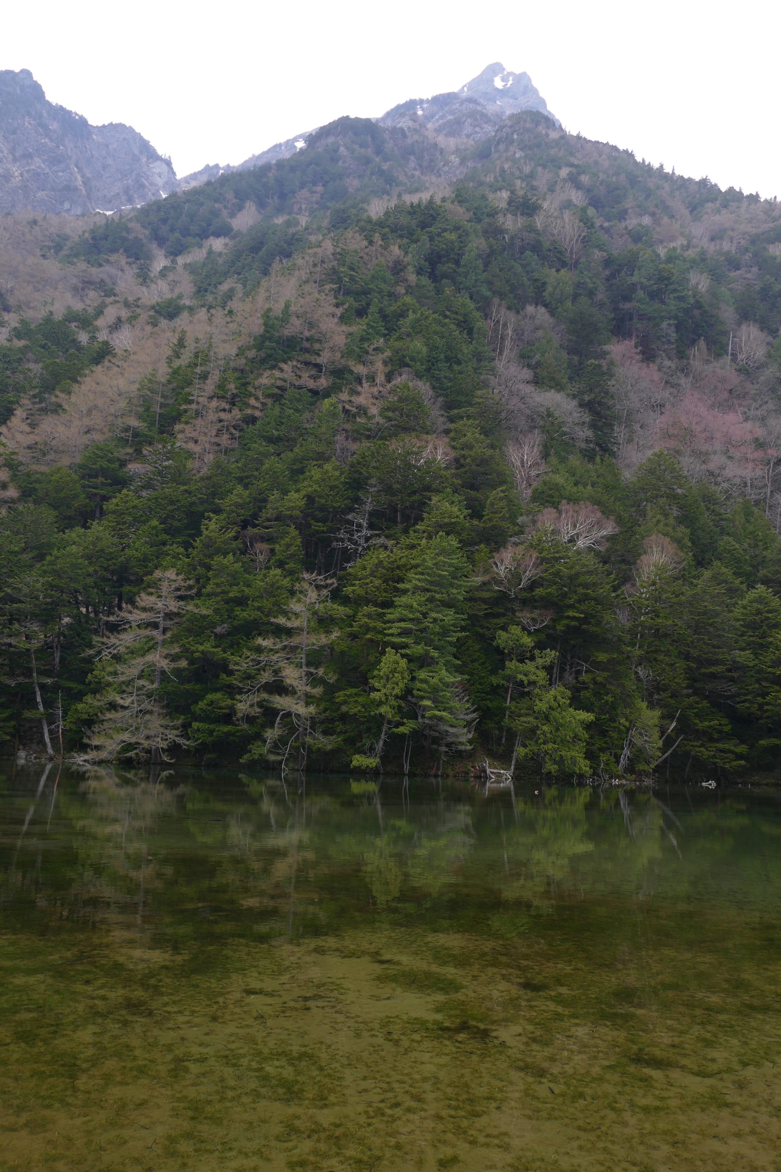
Near the valley’s northern end is Myojin Pond.
The sequel to this “landscape-view” of Kamikochi will offer a more intimate, “close-up” perspective…and a little practical advice.
My beloved and I both rate Kamikochi very highly, but if you wish to enjoy a splendid, largely “natural”, uncrowded experience you will need to think carefully about exactly when to go there, and exactly where to stay.
