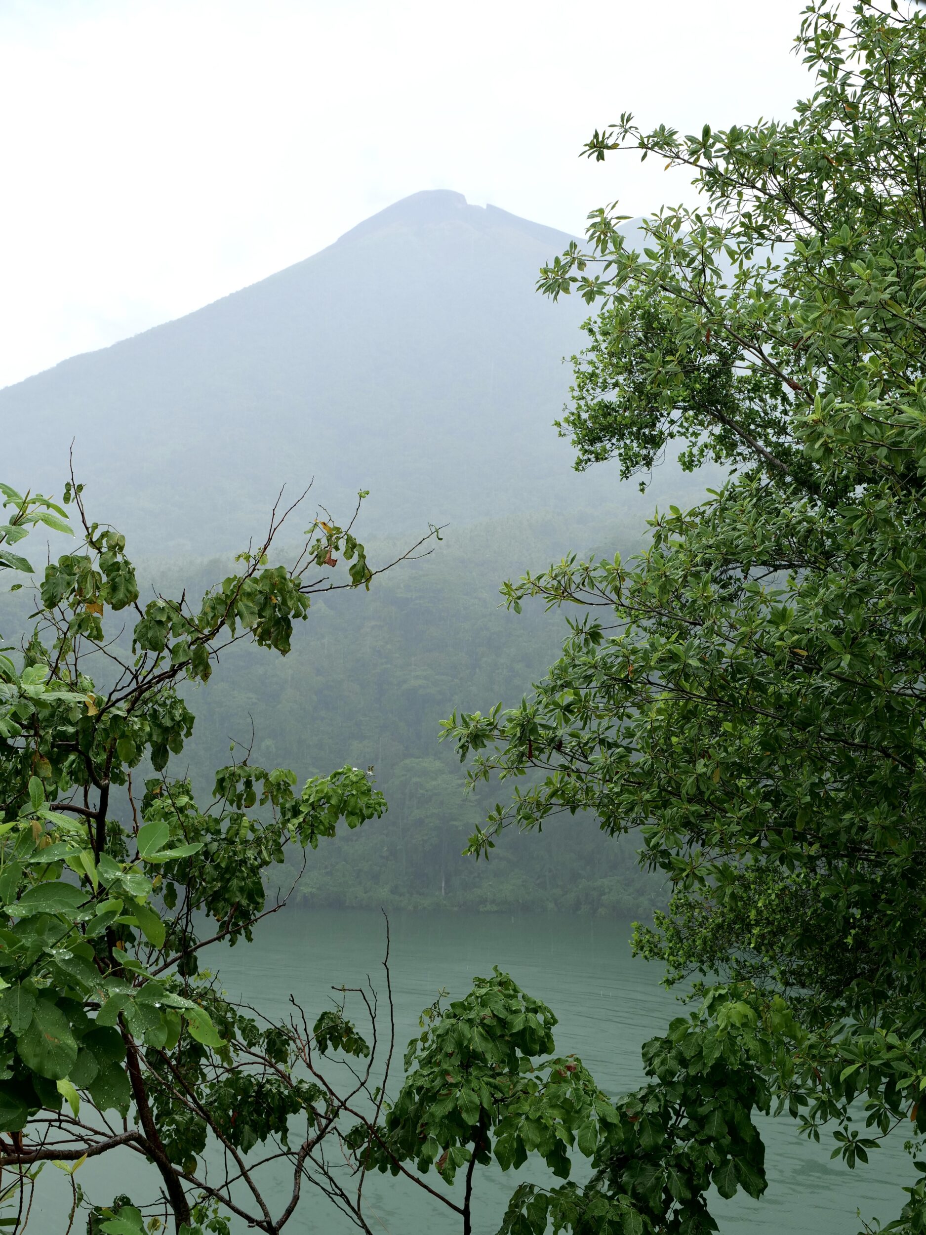
On Ternate the third afternoon of October 2024 was very wet – a not unusual circumstance on an island where annual average rainfall comfortably exceeds 2,000 mm.
At 3.46 pm the rain was easing, as we stood on the rim of Tolire Lake.
We failed to see any of its resident crocodiles, but the view across the crater lake – and up to Mt Gamalama’s highest peak – was becoming progressively clearer.
On Ternate rainforest flourishes wherever neither human nor volcanic activity has extinguished it.
Ternate-proper – the island, created by its volcano – covers just a whisker more than 162 square kilometres.
It is home to more than 200,000 people, most of whom live within two kilometres of the shoreline.
Generally, at any one moment rather more than 200,000 humans are present, as Ternate City is North Maluku’s commercial and educational hub.
We were astonished by its large and still-growing number of universities, colleges and schools.
Tourism is still mostly intra-Indonesian, but the number of international tourists is sure to “take off”, if/whenever its airport becomes internationally accessible via some rather more “convenient”/“direct”/“reliable” flight schedules.
Future, multiple-image posts will illustrate why that prediction is so very easily-reached.
The excellent maps in this article will give you a sense of exactly where Tenarte is…and just how volcanically active is northern Maluku.
As you’ll see in this series’ next chapter, one neighbouring island was built by a volcano that is even more imposing, higher, and more “perfect” than Ternate’s Mt Gamalama.
(all photos in this series are ©️ Doug Spencer)
