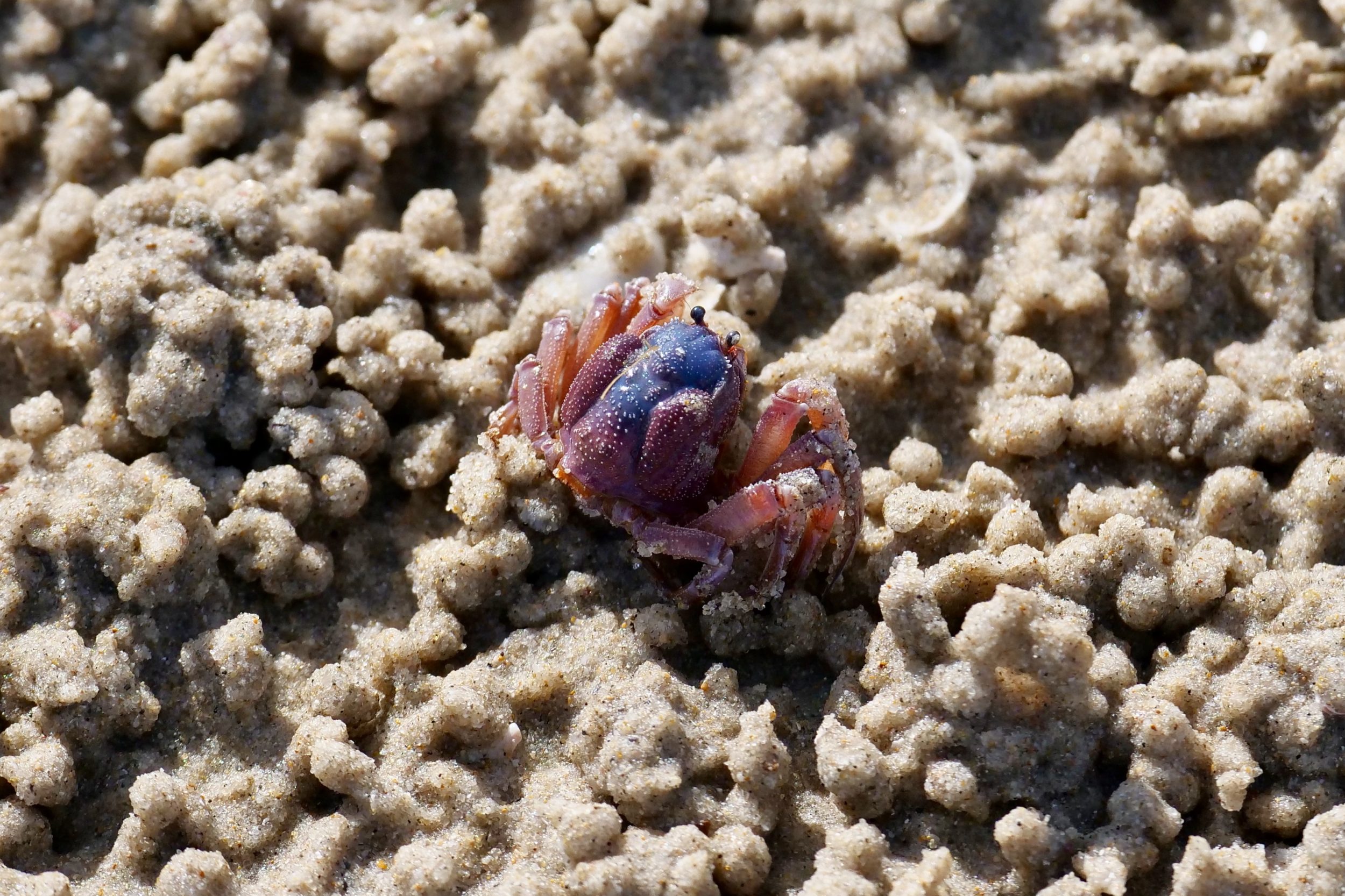
Tidal sand/mud-flats present very different “faces”, depending on when you happen to visit them – time of day, as much as time of year – and also on how closely you look.
Yesterday’s featured photo was taken in the same location as was today’s, their two vantage points were a very short walk apart, and only a few minutes separated their shutter-clicks.
Nothing much had changed in those few minutes, but…
…whilst the “long view” made Shallow Inlet look like an almost deserted/arid place on the afternoon of 25 October 2018, one had only to look at the ground immediately in front of one’s feet to know that this particular intertidal zone was teeming with life, even at a time of year when it was not teeming with waterbirds.
(“in season”, it is an internationally significant site for migratory waders. Click here for more info)
The photo’s featured filter-feeder was one of countless – probably, millions – of Shallow Inlet’s tiny crabs, all feasting whilst the tide was “out”.
A few kilometres from here are the world’s southernmost mangroves.
Mangroves are the intertidal zone’s very own forests; many humans regard mangroves with disdain, but these “lowly” forests are crucial to the health of “our” planet.
