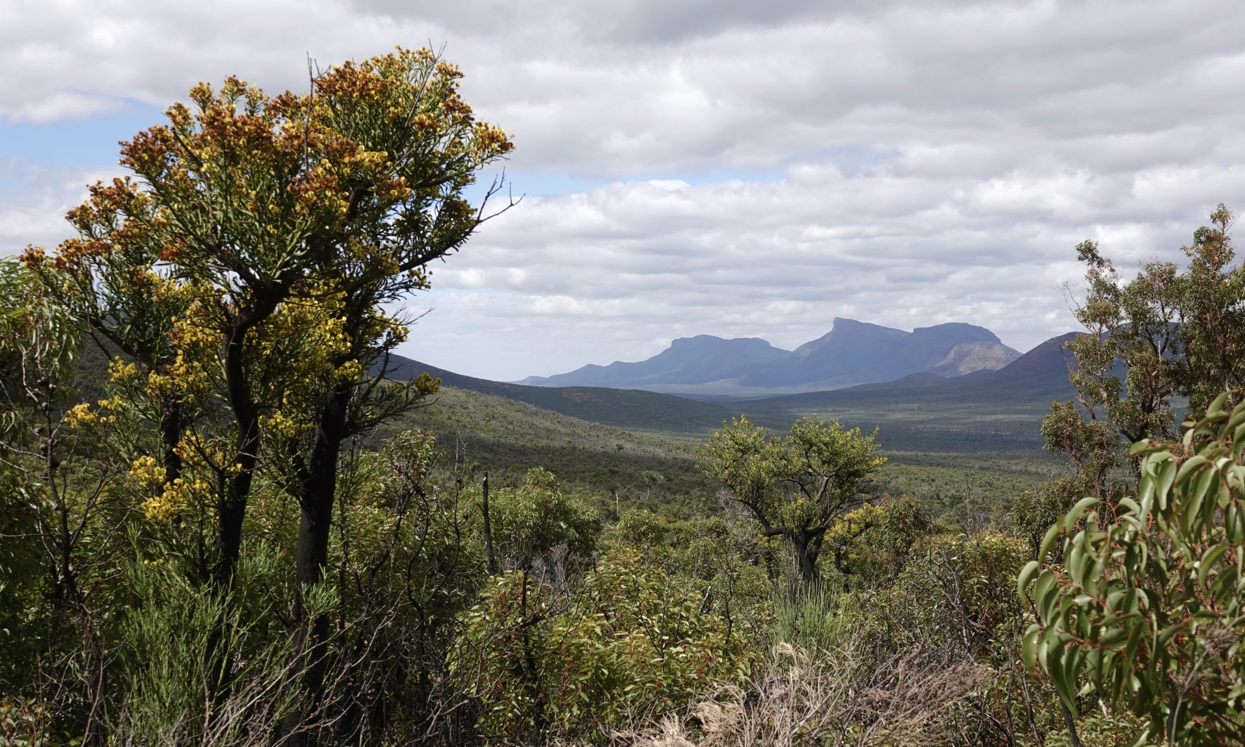
For the benefit of those who have not visited the Stirling Range…
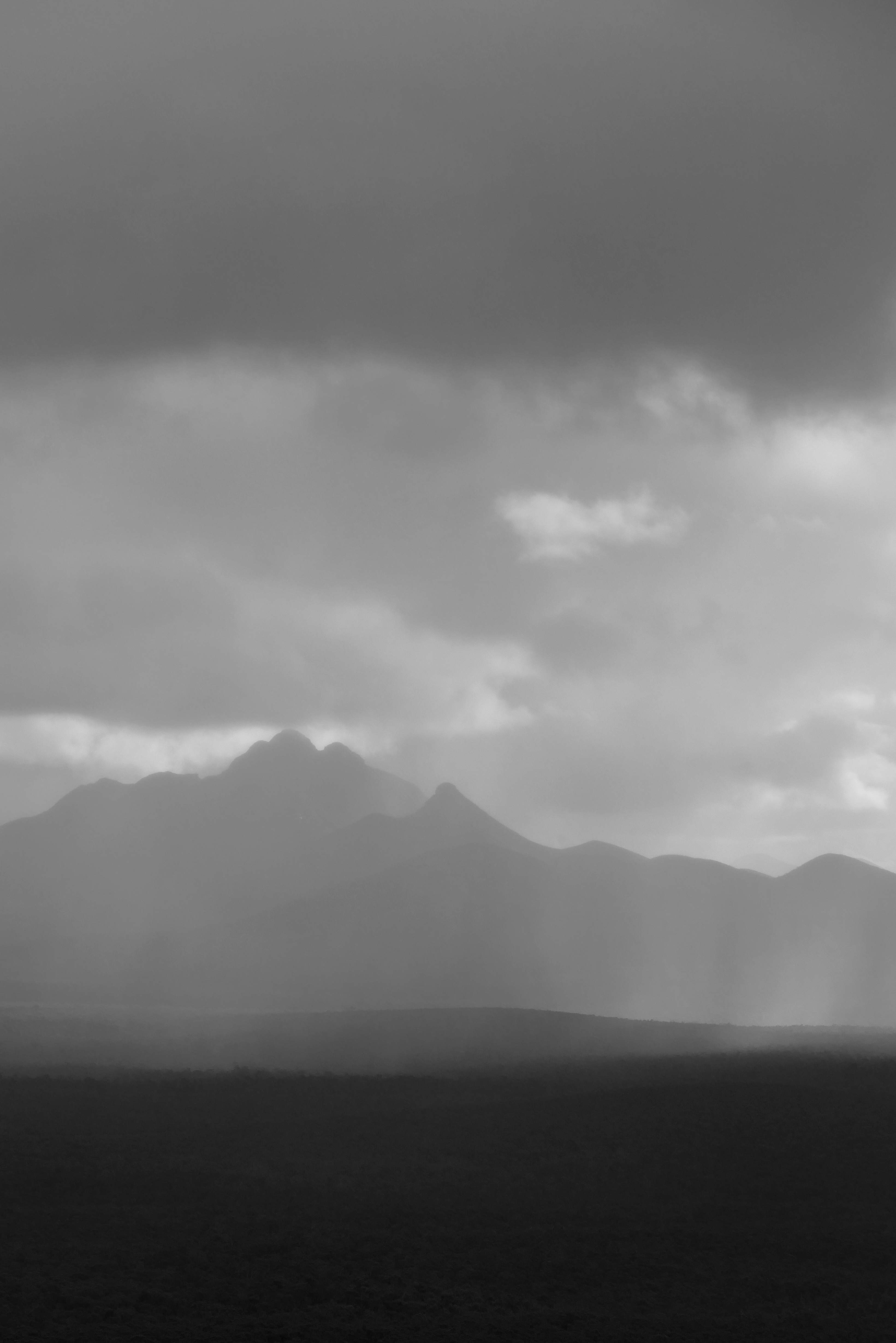
The featured image and the one below – wide-angle and telephoto, respectively – look east from Toolbrunup’s east-facing flank, across to Bluff Knoll.
(both photos copyright Doug Spencer, taken around 2 pm on 23 March 2021)
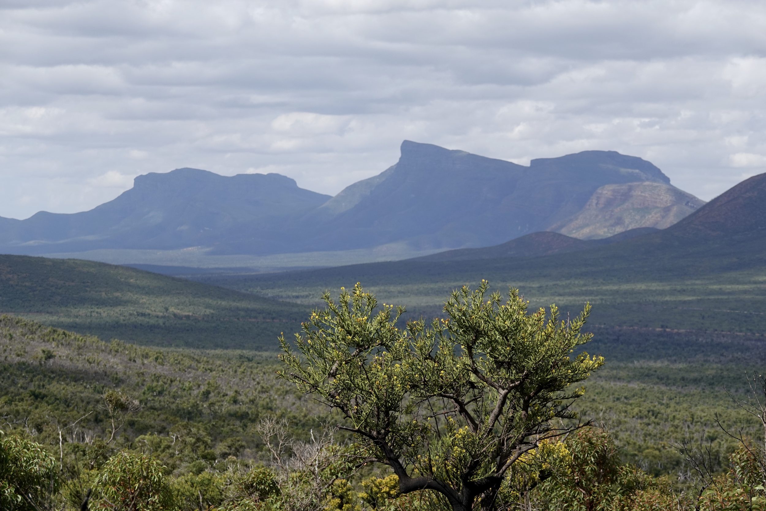
Bluff Knoll (1.095 metres) is southern Western Australia’s highest peak; although not WA’s highest point above sea level, “the Bluff” is – hands down – the state’s most “towering” peak.
WA’s high point – Mount Meharry (1,249 metres) – is more than 1,600 kilometres north.
Beautiful as they are in their own right, Meharry and the Hammersley Range’s other peaks are much less dramatic in relation to their immediate surrounds than are the Stirling’s.
Most years – very briefly, for a small part of one or two days per year – Bluff Knoll is the only accessible WA place where one can experience snow.
Toolbrunup (1,052 metres) is the Stirling’s second highest point, and its ascent is a deal more taxing than the Bluff’s.
Toolbrunup stands in splendid isolation from any other peaks, in the middle of the Stirling Range.
Very late one Spring afternoon, in the year before the first of the “catastrophic” fires, Toolbrunup and its surrounds looked this:
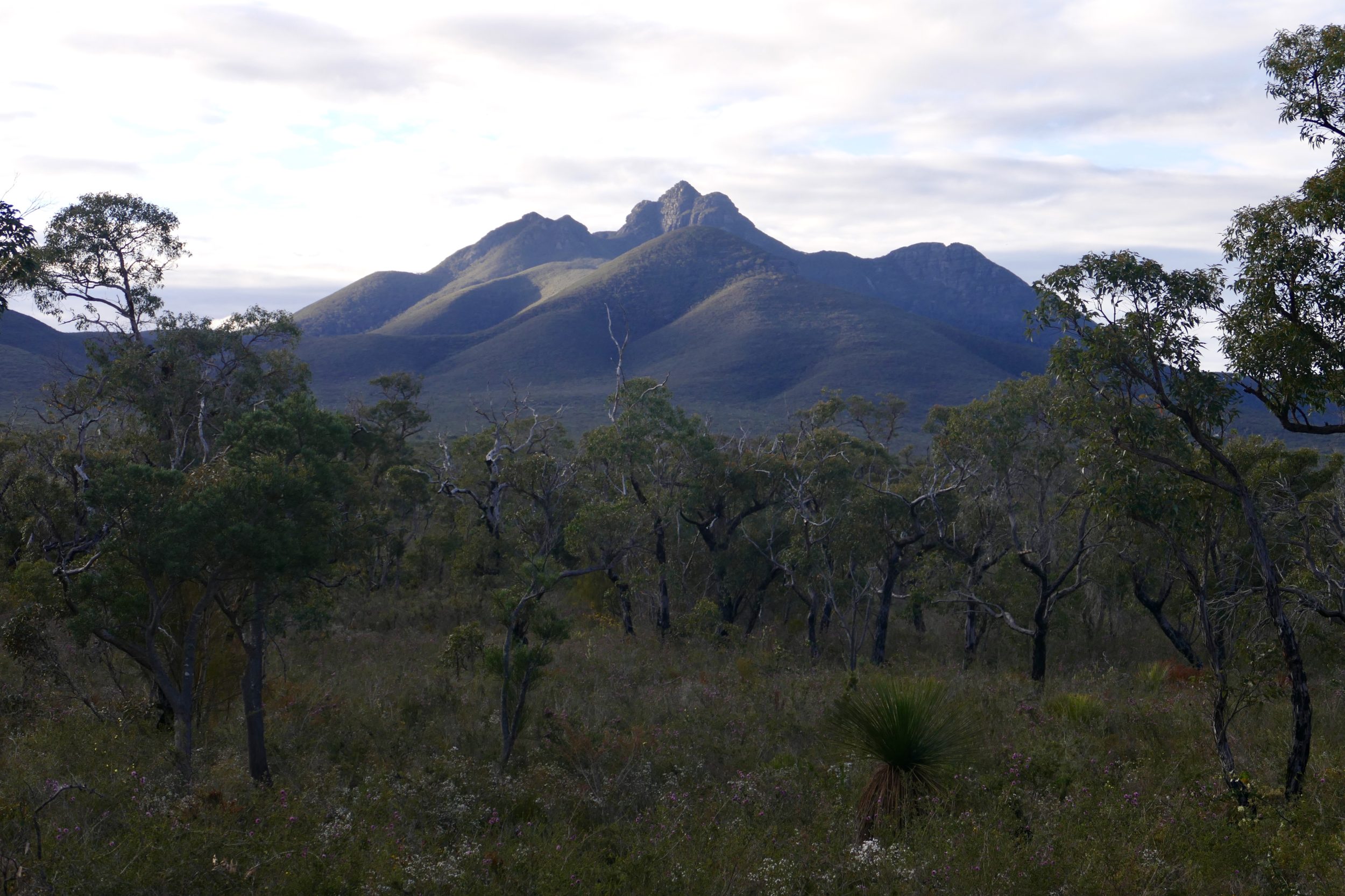
One sometimes-showery Spring afternoon in 2016, Toolbrunup presented a decidedly “mystical” appearance, when viewed from half way up Bluff Knoll.
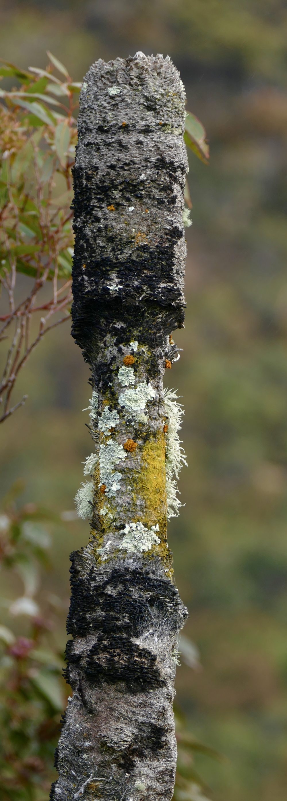
Just a few minutes later, we saw a lovely reminder that even a “dead” grass tree can be far from “lifeless”.
This one had not survived a fire which scorched much of the Bluff’s “face”, some years earlier.
