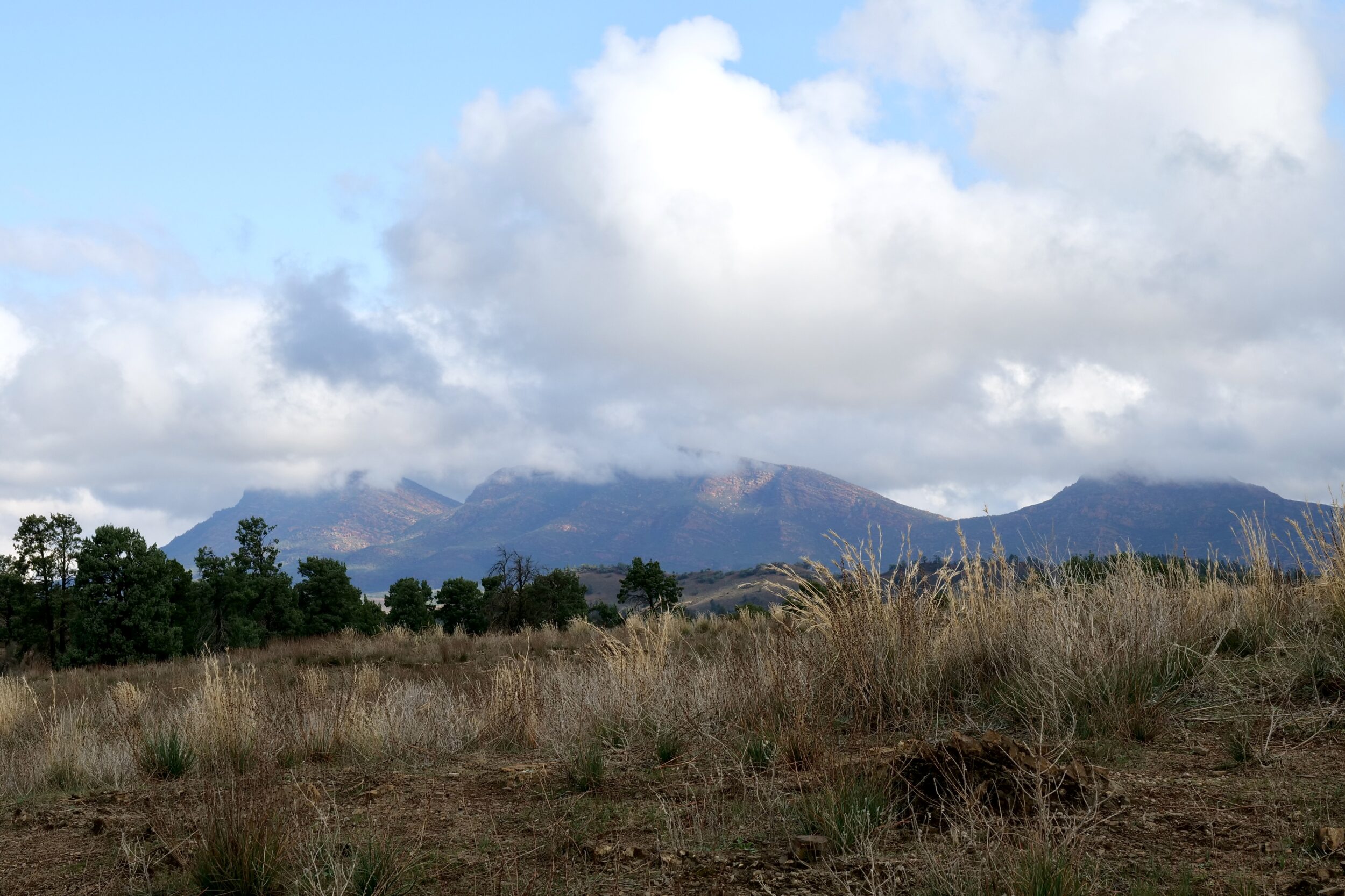
I took the photo at 2.36 pm on 04 June 2023, circa 80 minutes on from the image in #13 of this series.
We were now just east of the Flinders’ “spine”, and driving on the sealed surface of the Flinders Ranges Way.
The temperature was decidedly “brisk”, but the rain-bearing weather system had very nearly petered out.
My photo’s foreground expresses my fondness for grasses.
The image then looks across to some of the (then, cloud-shrouded) peaks which rim Wilpena Pound.
The highest of them – St Mary Peak – is the highest in the entire Flinders Ranges.
Its alleged altitude is surprisingly “variable”; 1171 metres ASL is the most common figure.
One hour later, at a more modest hilltop elevation of circa 739 metres ASL, we would enjoy magnificent, panoramic views, in literally every direction…as will be evident in this series’ next several chapters.
