Skip to content →

Tag: Namibia

Grand sands (#7 in series: seeing red)


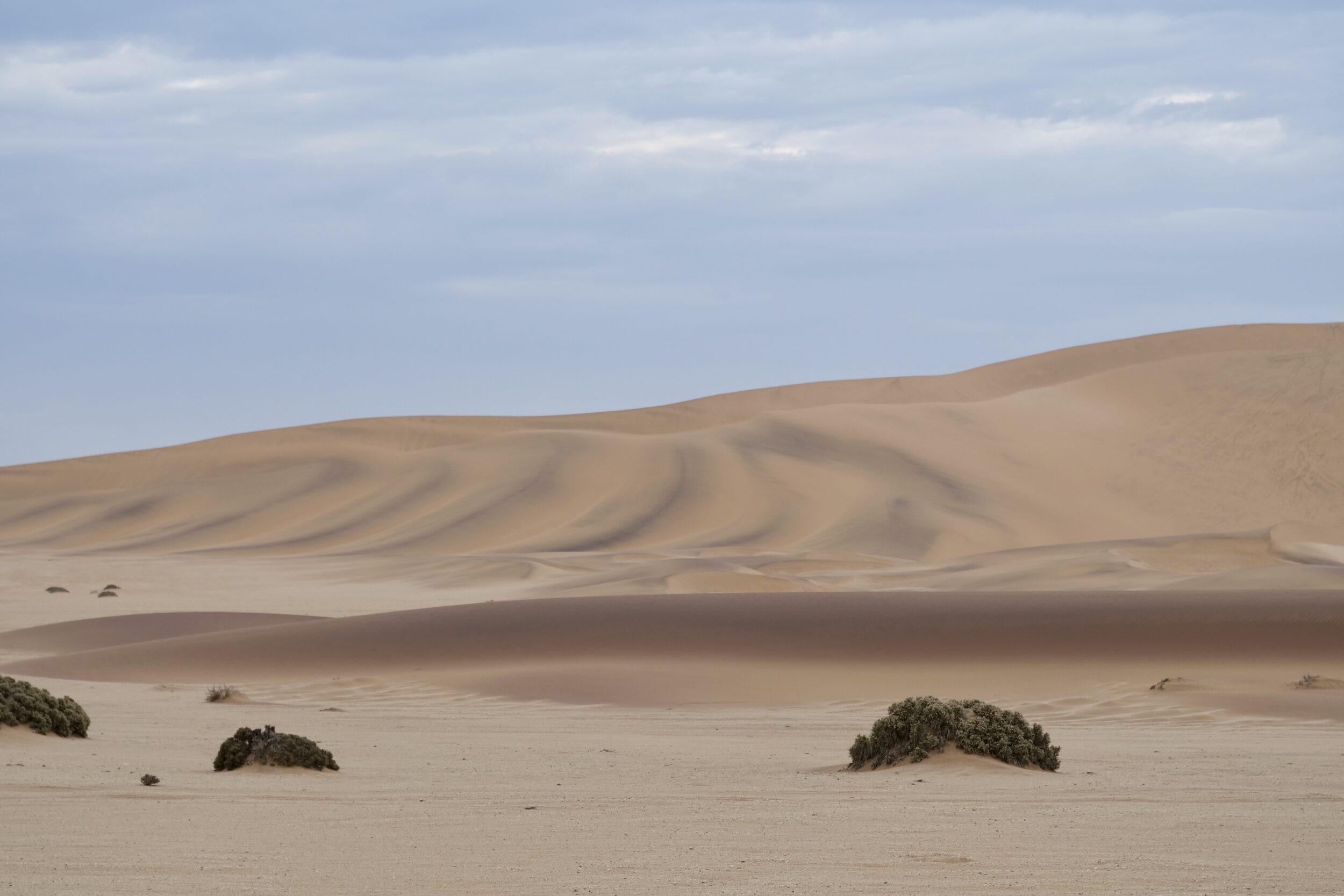
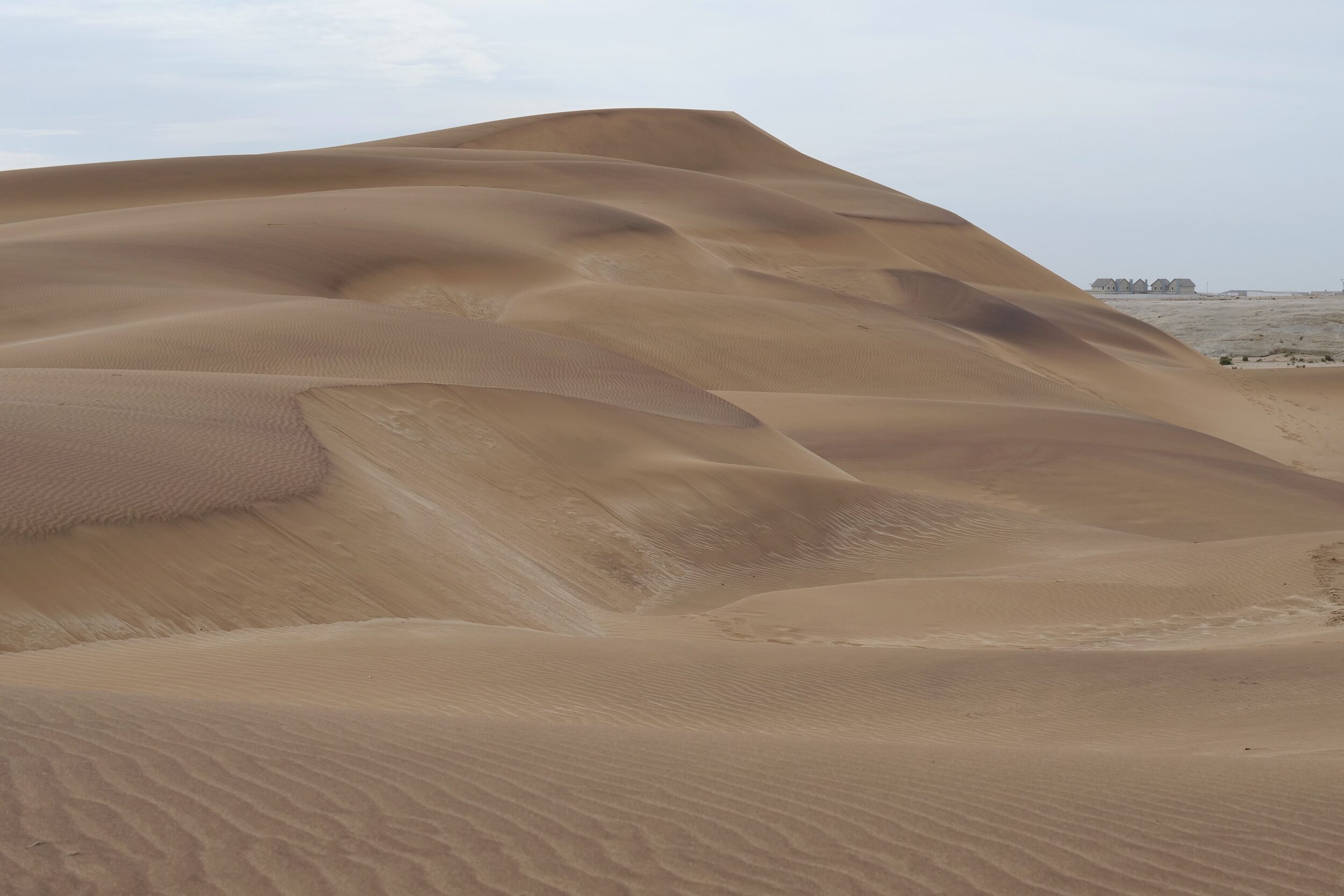
In this series’ first six chapters all relevant sands were either on beaches, or in locations still not far from an ocean’s shoreline.

The next several posts take us inland, and to higher altitudes.

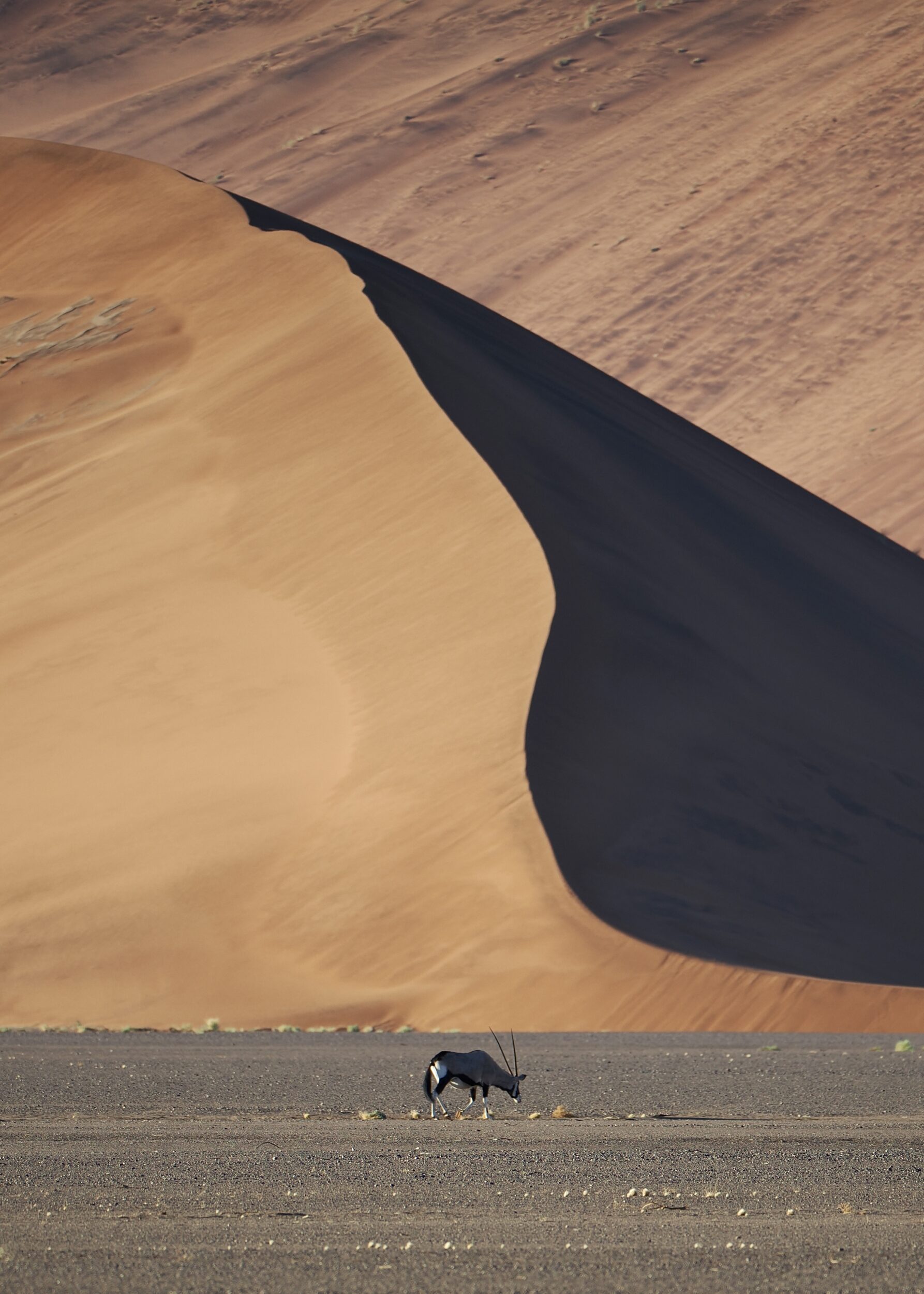
Australians – well, those who have travelled well west of the Great Dividing Range – are familiar with the “red” sands/sandy soils that are a feature of much of our “Outback”.

Q: what makes them red?

Leave a Comment

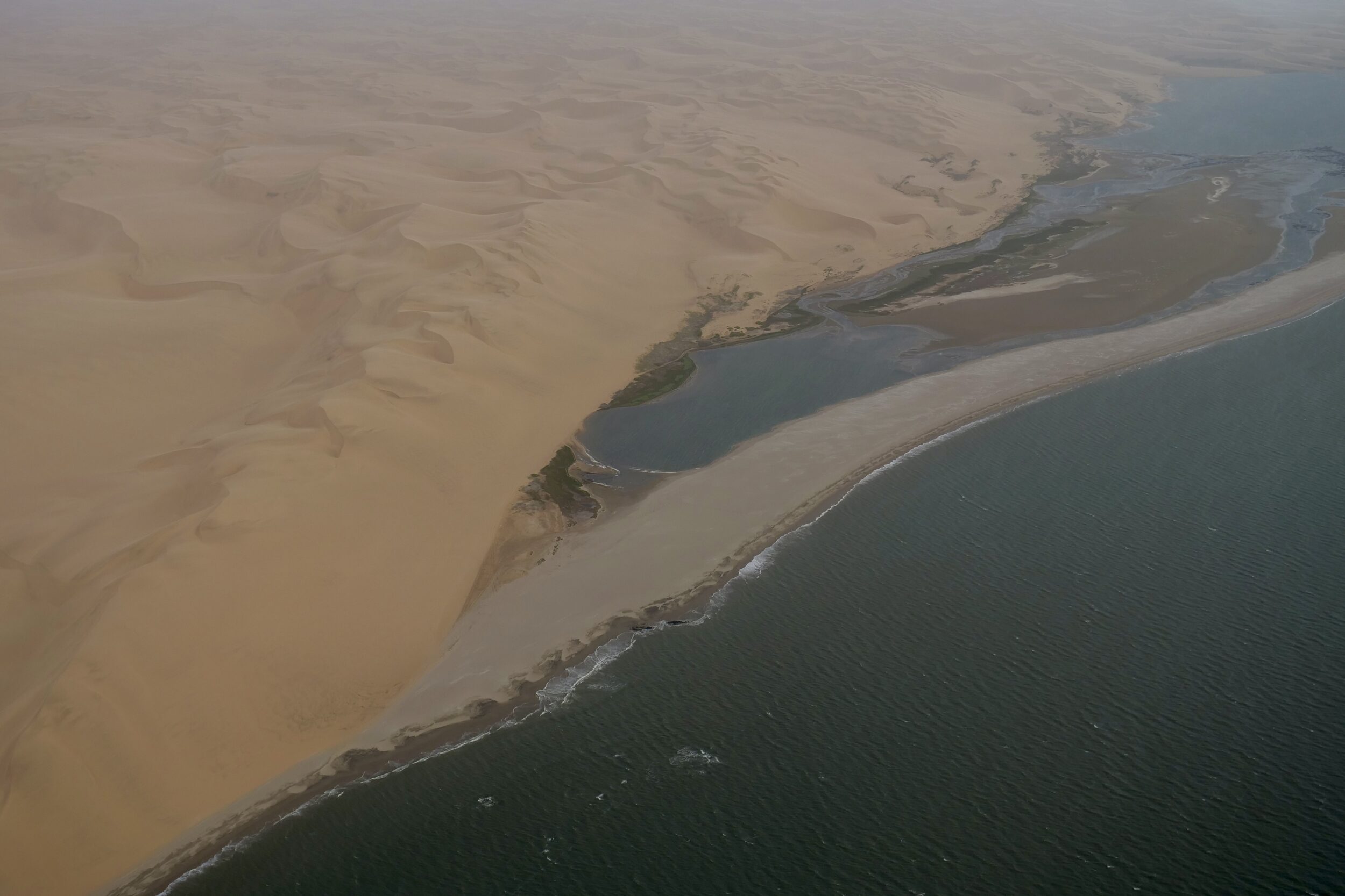
Grand sands (#1 in series: aerial view of the Namib’s “sand sea”)


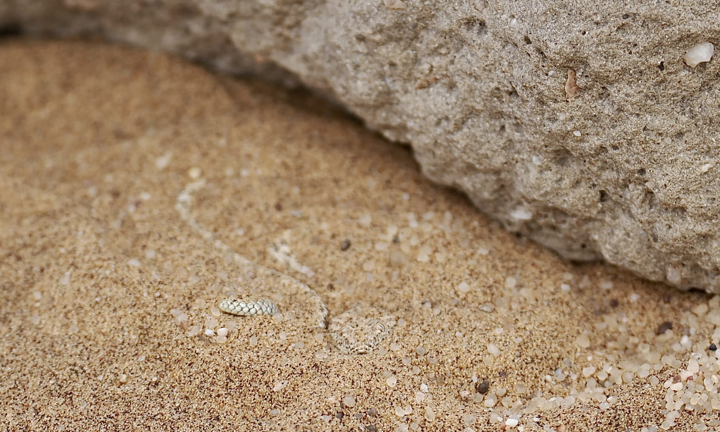
Essentially, sand is a “marriage” of just two of our planet’s most common elements: silicon and oxygen.

Nonetheless, sand offers an astonishing amount of visual diversity.

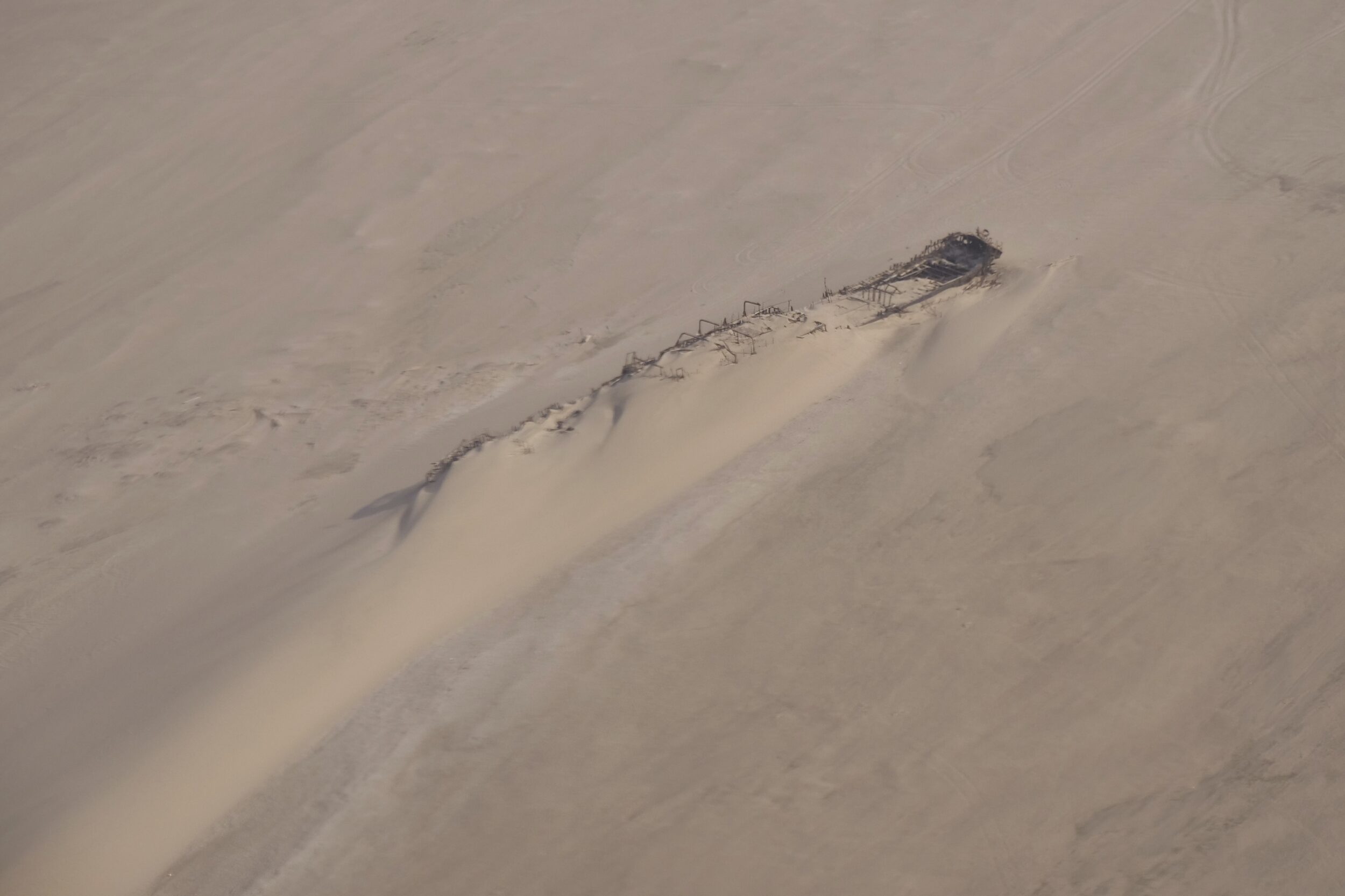
In some parts of the world, if you look down from an aircraft  – ideally, one flying relatively “low”, but high enough to render small plants “invisible” – you could be fooled into believing that everything within your field of view was 100% sand.

Leave a Comment

“Landscape” view/much closer view (#3B in series: Epupa Falls)


The taking of this chapter’s “A” and “B” images saw my feet move hardly at all, between shots.

(in this series, each numbered chapter has an “A”/ “landscape” post and a “B”/“much closer” post)

For this post’s “much closer” image a much longer (more than 8X longer) focal length did the walking, metaphorically – my telephoto lens greatly narrowed the field of view, and brought the waterfall’s “centre” very much “closer”.

Comments closed

“Landscape” view/much closer view (#3A in series: Epupa Falls)


Present in all four featured images from “2A” through “3B” in this series: the most forceful/active of Epupa Falls’ many waterfalls.

In “2A” it accounted for a minute portion of a very big landscape.

This post’s image was taken from directly in front of that fall – within its spray zone.

Comments closed

“Landscape” view/much closer view (#2B in series: Epupa Falls, below)


The vantage point was much the same as in the “2A” image, which I’d shot nine minutes earlier.

At 6.20 pm I deployed a 400 mm lens, yielding a very much closer view of the liveliest part of Epupa Falls.

Comments closed

“Landscape” view/much closer view (#2A in series: Epupa Falls, below)


Our vantage point was in northernmost Namibia, as was the southern side of the Kunene River.

The other, northern side – on the photo’s left side is in Angola, where the river is called Cunene.

We were spending day’s end on a hilltop, overlooking Epupa Falls; a few hours earlier we had walked along/among parts of the falls’ Namibian side.

Comments closed

“Landscape” view/much closer view (#1B in series: Sesriem Canyon)


#1A’s “landscape view” image was taken at 11. 56 am on 22 November 2022, when I was standing close to the rim of Sesriem Canyon.

#1B’s “much closer view” was taken four minutes later, when I was inside the canyon, heading down to the then mostly-dry bed of its “creator”, the Tsauchab – a river that last managed to reach the Atlantic Ocean many thousands of years ago.

Comments closed

“Landscape” view/much closer view (#1A in series: Sesriem Canyon)


Whether or not you are taking photographs – and wherever you happen to be – it is always worthwhile, often, to change your field of view from narrow to wide, and to shift your focus from somewhere/something near to somewhere/something distant…and vice-versa.

Doing so will help your eyes to work better, for longer…and you will enjoy many wonderful sights that you would have missed, had your focus and field of view remained “fixed”.

(it is also a good idea – most especially if you enjoy wildlife encounters – to turn around and look behind you, frequently …but “turning around” is not this series’ concern)

The series begins in the Namib, the world’s oldest desert…

Comments closed

Namib Desert’s northwest (#29 in series: riverbed to ridge tops)


This is the current series’ final trio of images taken from the bed of the (mostly dry-surfaced, but intermittently greened/vegetated) Hoarusib.

Only on very infrequent occasions is flowing water readily evident; usually, parts of the riverbed double as road.

All three photos were taken within a single “window” of less than two minutes, as I walked a very short distance, and pointed my 400mm lens north/ish.

At this point the Hoarusib’s source is circa 280 kilometres further inland.

The Atlantic’s “skeleton coast” is less than 20 kilometres distant.

Here, I think, is one of “our” planet’s singular places.

Arguably, no other (relatively) accessible location so richly deserves to be described as “pristine wilderness”…

Comments closed