Skip to content →

Tag: outback

MacDonnell Ranges (#2 in single image series: west side, landscape)


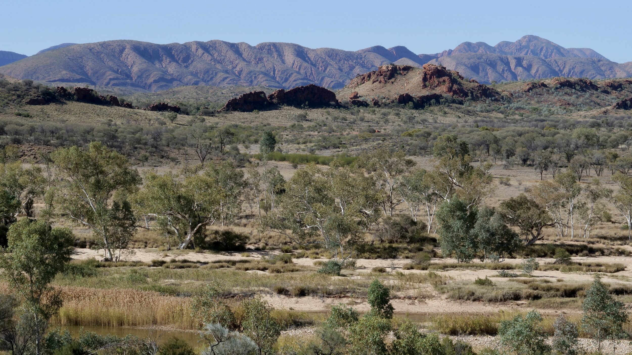
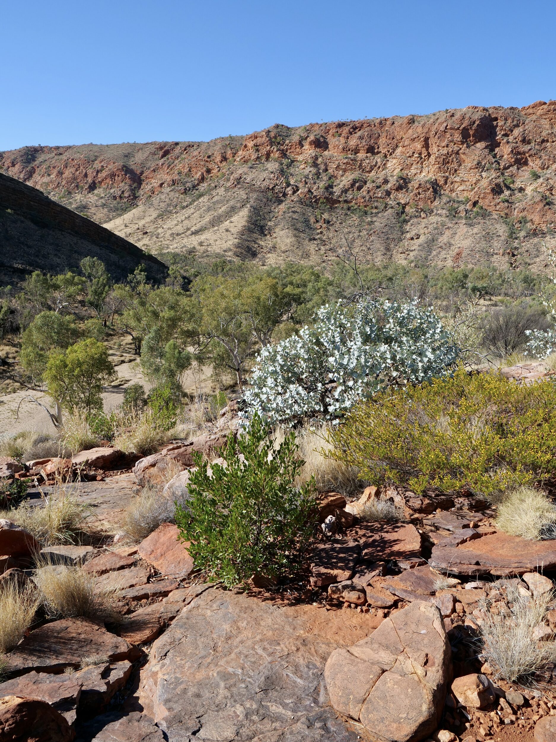
This post’s photo was taken circa 10 kilometres away from Ormiston Gorge.

The vantage point was just a couple of kilometres north of Glen Helen, and the image looks north-east.

In the foreground you can see the Finke River, which is oft-described as the world’s oldest.

I am pretty sure that the highest mountain you can see (on the horizon’s right hand side) is Mt Giles (1,389 metres ASL) which is on the eastern side of Ormiston Pound; Mt Giles’ peak is the highest point on the Pound’s ramparts.

As you can see, this particular desert country does not fit most urban-dwelling humans’ preconceptions of what deserts are “meant” to look like!

Comments closed

MacDonnell Ranges (#1 in single image series: beautiful beaches)


This first episode’s headline is neither a mistake, nor ironic.

If you live in or near to Alice Springs, the nearest ocean shore is more than 1,500 kilometres distant; most of Australia’s saltwater beaches are rather more than 2,000 kilometres away.

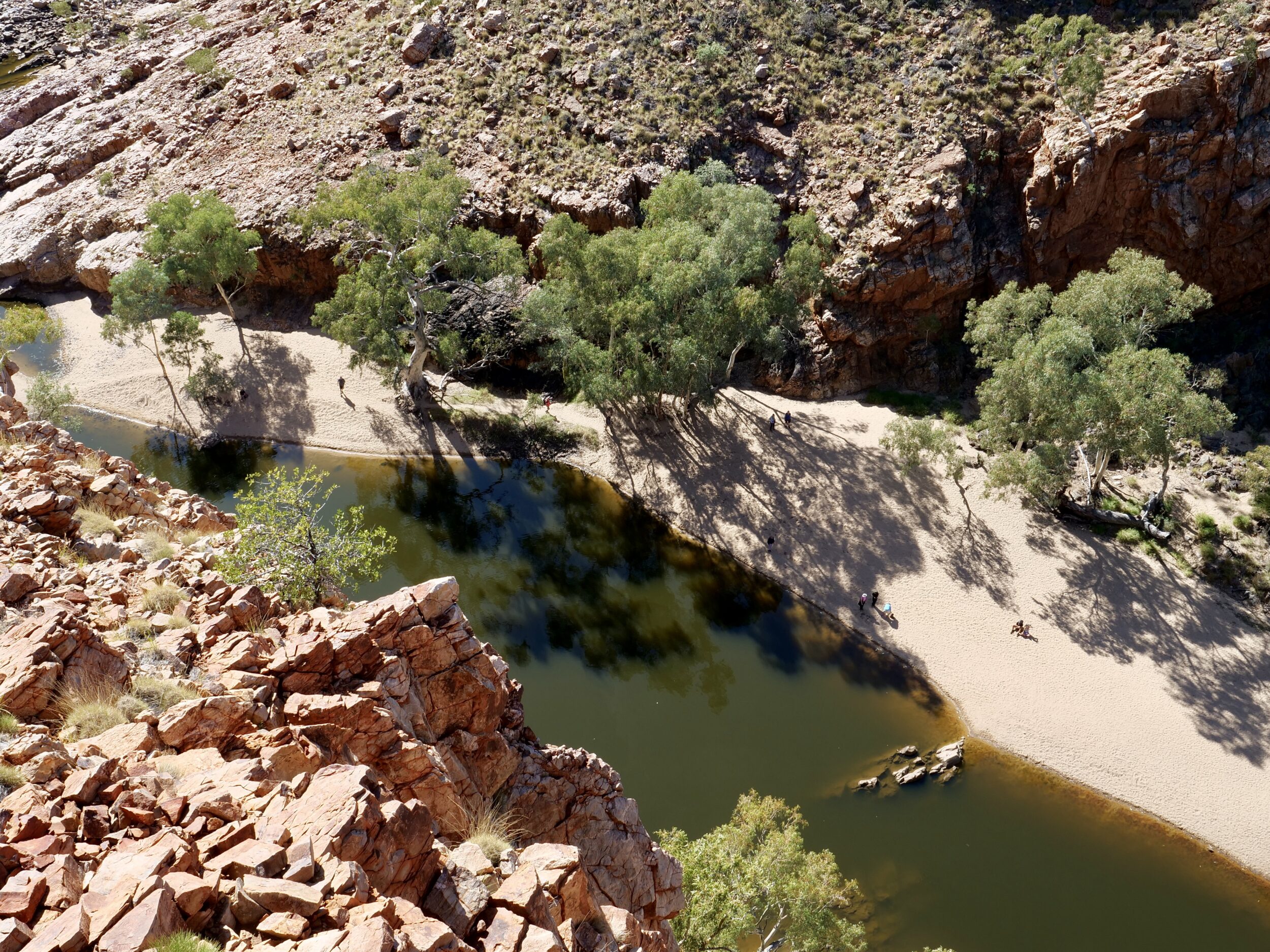
However, courtesy of the MacDonnell Ranges, which spread hundreds of kilometres east-west-ish from Alice, you have easy access to some very beautiful beaches.

(Alice Springs sits just north of one of the Ranges’ “Gaps”)

A few of those beaches even offer swimming,  in spectacularly located, “permanent” waterholes,

Comments closed

Quirky moments (#13 in series: tool-using Australian buzzard)


Until Charles Darwin observed finches at work in the Galapagos, many members of our own species had believed that tool-usage was a uniquely human ability/trait.

The known list of non-human tool-users is now enormous.

It includes many mammals (not only primates), birds, fish, cephalods, reptiles, and insects.

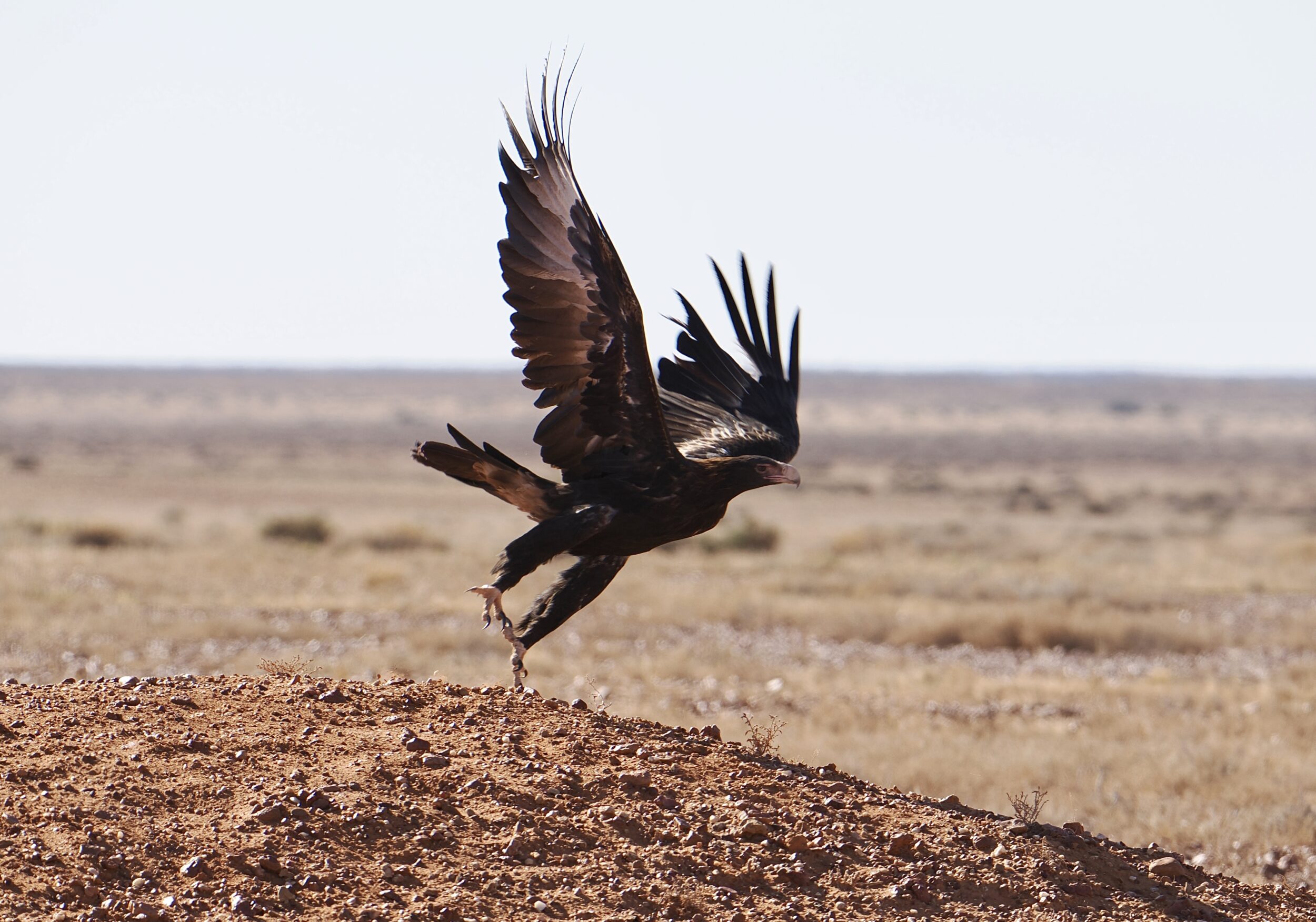
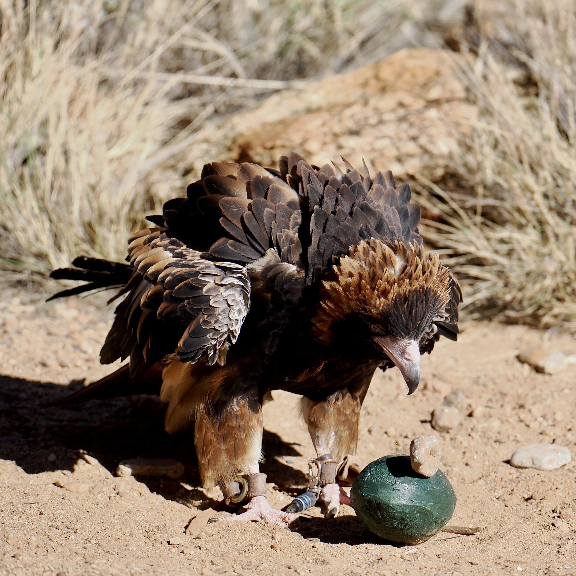
One of them is an Australian raptor which deploys rocks to crack emu eggs.

You may be surprised to know that the pictured individual did not learn the technique from his or her parents, nor did this captive bird’s human “keepers” train him or her to do it.

One Comment

Quirky moments (#7 in series: world’s most unnecessary signpost?)

As previously reported, I think that – within the so-called “First World”, at least – South Australia is the world leader in poor signage on roads and tracks.

Often, necessary signage is non-existent, or impossible to read until/unless one is within a metre or less of the ludicrously tiny and/or long-faded signpost.

Not uncommonly, signposts are entirely illegible.

Very often, signage is maddeningly inconsistent.

Picture yourself in rural or “outback” South Australia –  or even in a near-Adelaide place where you have dared to “get off the freeway”.

Your intended destination is bigger than Woop Woop but much smaller than Adelaide.

At the first relevant turn-off you are pleased to see a legible sign which points to “bigger than Woop Woop…”

However, none of the next six crossroads carry any legible signage whatsoever…or their legible signs make no mention of your destination.

What should/could have taken you 30 minutes and 40 kilometres, instead devours 70 minutes and 90 kilometres.

Another South Australian specialty is the placement of “No Through Road” signage only at the relevant road’s dead end.

Having traversed thousands of SA kilometres over 68 years, I had assumed that South Australia’s signs – and their oft-ludicrous absence – had long-since exhausted their ability to surprise me…

As I recently discovered, in a “remote” place, I had underestimated them!

The relevant sign was very well crafted, easy to see and read…and utterly superfluous.
One Comment

Parachilna sunset (final episode in SA/NT “outback” single image teaser series)


South Australia’s longest chain of mountains is named after Matthew Flinders, not by him; “the navigator” did not impose his own name on any natural feature.

One of the Flinders’ gems is Parachilna Gorge, on the mountains’ western side.

Very soon after you drive back out of the gorge, you look across a seemingly-endless, flattish plain.

Sitting in it, nearby, is the almost-town of Parachilna; effectively, its excellent pub is the town.

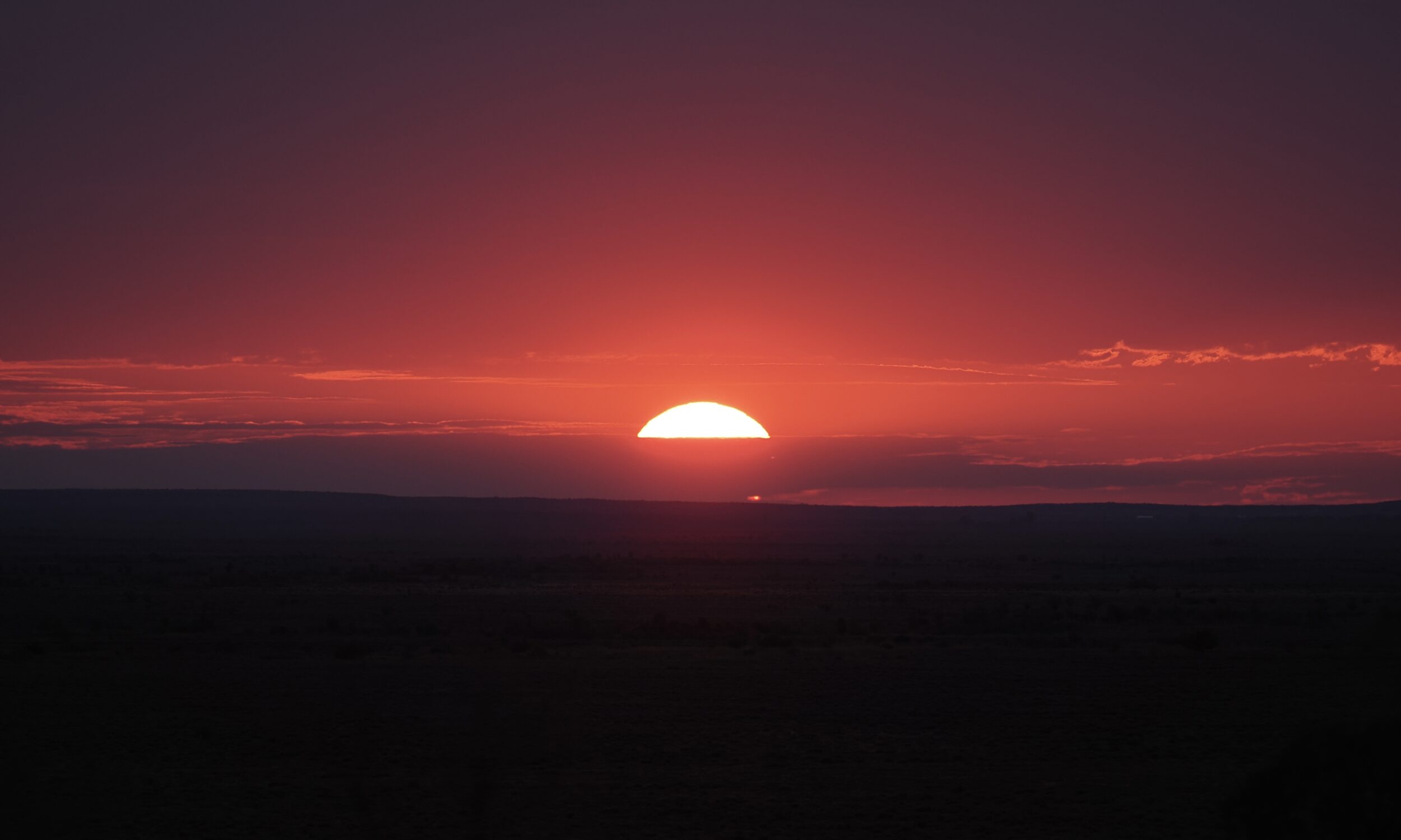
Lake Frome’s vast salt-flat is a deal further “out there”, due west…so too the setting sun, at 5.19 pm on 06 June 2023.

Comments closed

Beautiful, but… (#24 in SA/NT “outback” single image teaser series)


To my eye, Coober Pedy is an ugly town, albeit a singular one.

So, I was delighted to see something so lovely, growing not many footsteps away from a hideous shopping venue and car park.

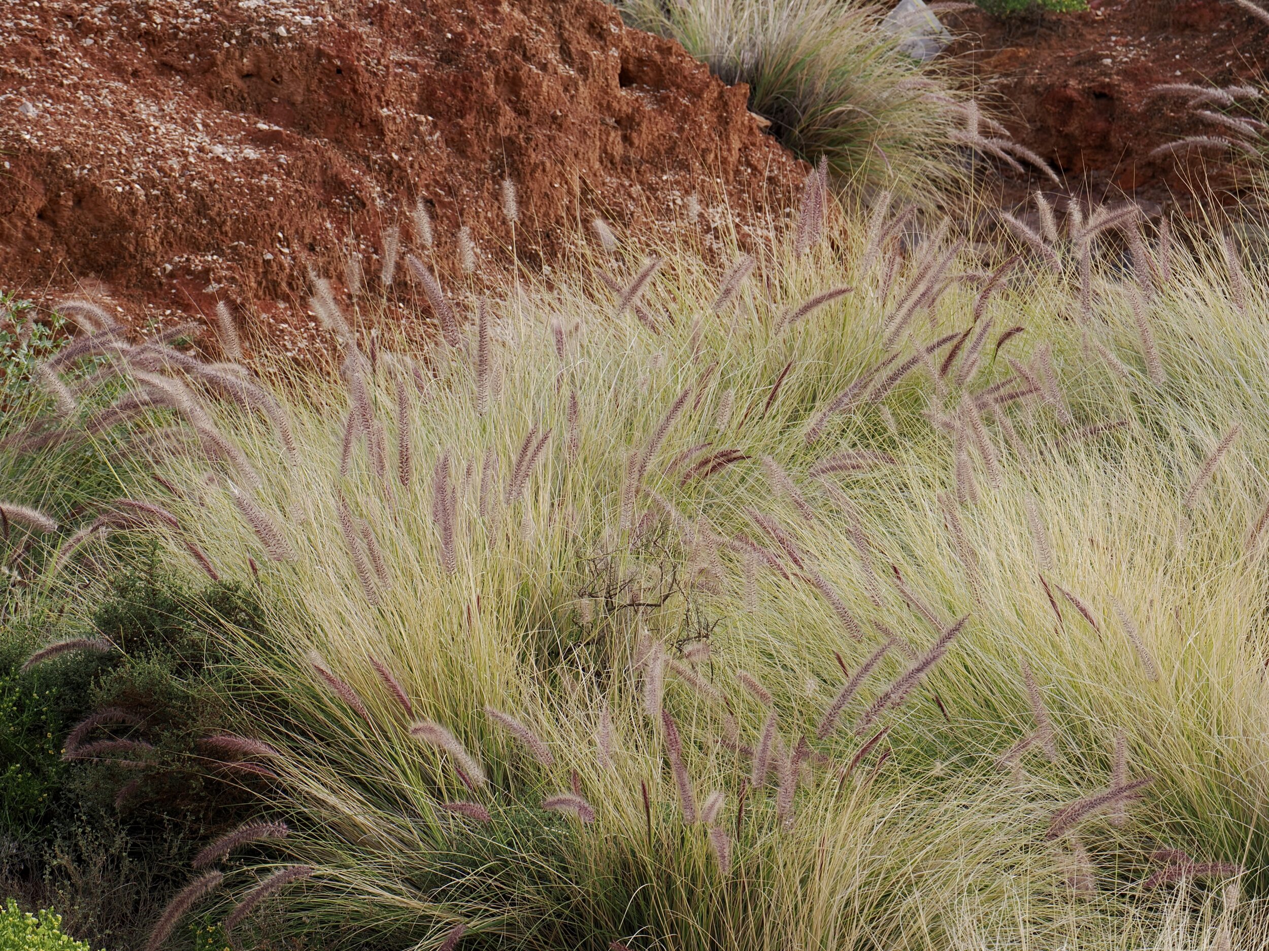
I love the way such tall grasses look, especially when wind whiffles through them.

Alas, however, I was admiring a very “bad” plant.

Buffel grass – Cenchrus ciliaris L, pictured above – is “arguably the greatest invasive species threat to biodiversity across the Australian arid zone.”

Some beef producers, however, still view it fondly as “great cattle feed”.

The relevant legal requirement in South Australian Arid Lands:

Land owners in this region to take reasonable steps to kill plants and prevent their spread. Enforceable by the South Australian Arid Lands Landscape Board.

Comments closed

Grass, winter sun, “desert” (#23 in SA/NT “outback” single image teaser series) + musical bonus


Technically, the country in which Alice Springs sits really is a desert environment.

It is, however, far from barren.

Central Australia is beautifully vegetated – botanically “rich”, not “poor”.

Trees and flowers are not its only beautiful plants.

Comments closed

Incandescent rock? (#22 in SA/NT “outback” single image teaser series)


Strictly speaking, the answer is “no, of course not”.

However, when early morning or late afternoon sunshine “hits” some arid zone Australian rock faces, “incandescent” is almost the only appropriate adjective.

As you can see, this one appears to be emitting light, even if it is “really” only being affected by light.

Comments closed

“Outback Art” #2 (#21 in SA/NT “outback” single image teaser series)


“Plane Henge” is the signature “permanent exhibit” in what at least one writer has described as “the world’s largest art gallery”.

Mutonia Sculpture Park sits beside the Oodnadatta Track, less than one hour’s drive west from Marree.

If you were overhead, in a functional aircraft, Lake Eyre South would also be within your field of view.

The “park” includes the ruins of the Alberrie Creek Siding, on what once was “The Ghan” railway line.

Arguably, Mutonia strains to near or beyond breaking point any reasonable definition of “art gallery” or “park”.

Inarguably, its sheer unlikeliness leaves a lasting impression on most visitors.

One Comment