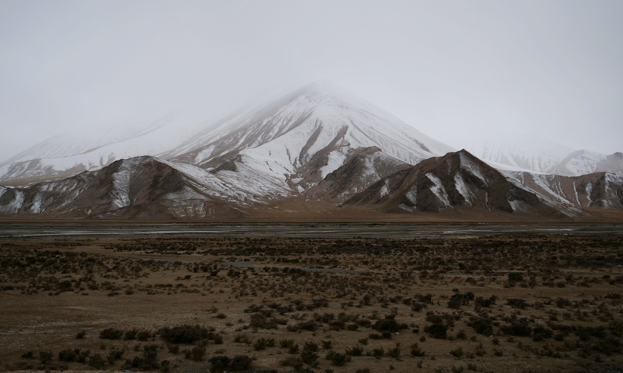
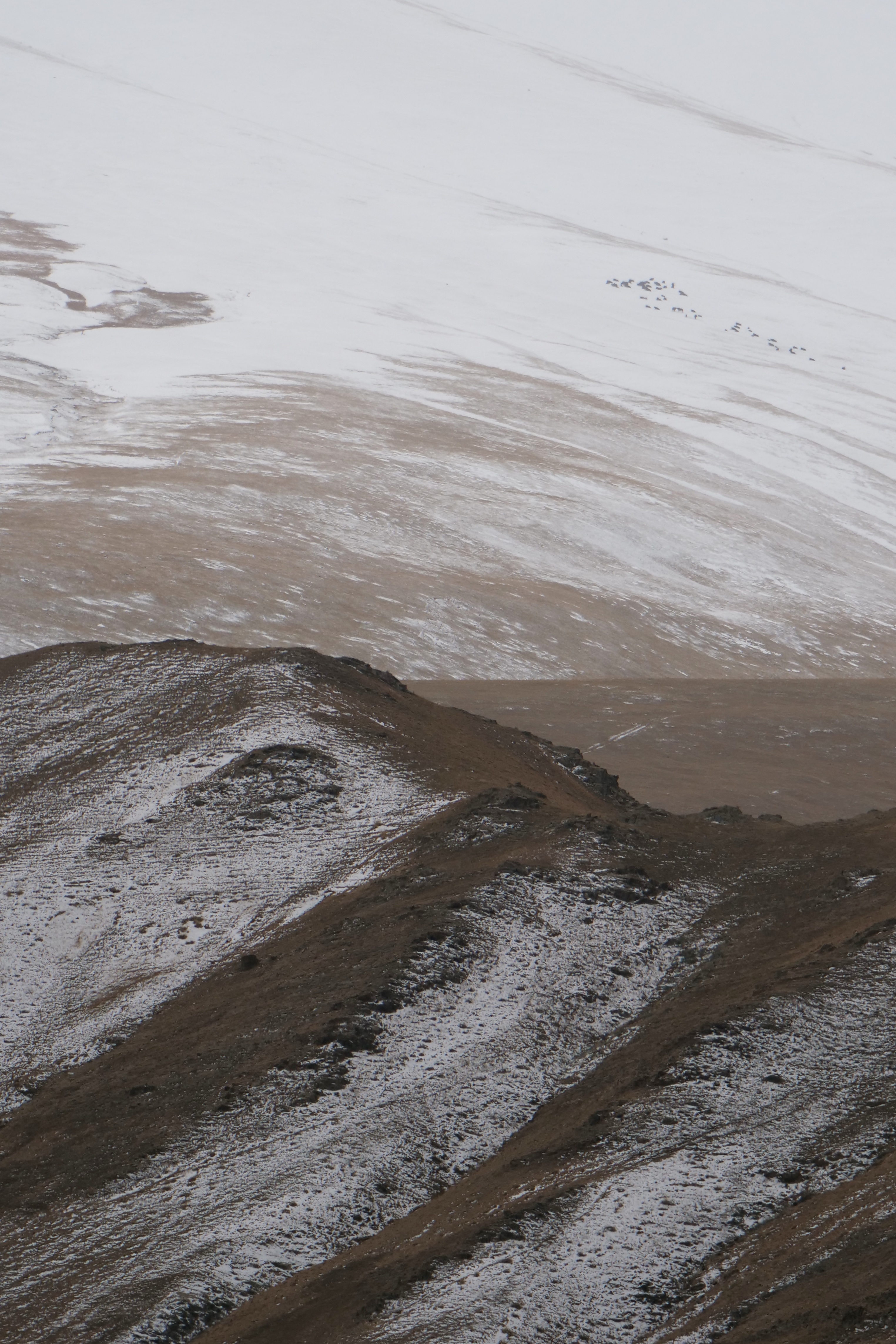
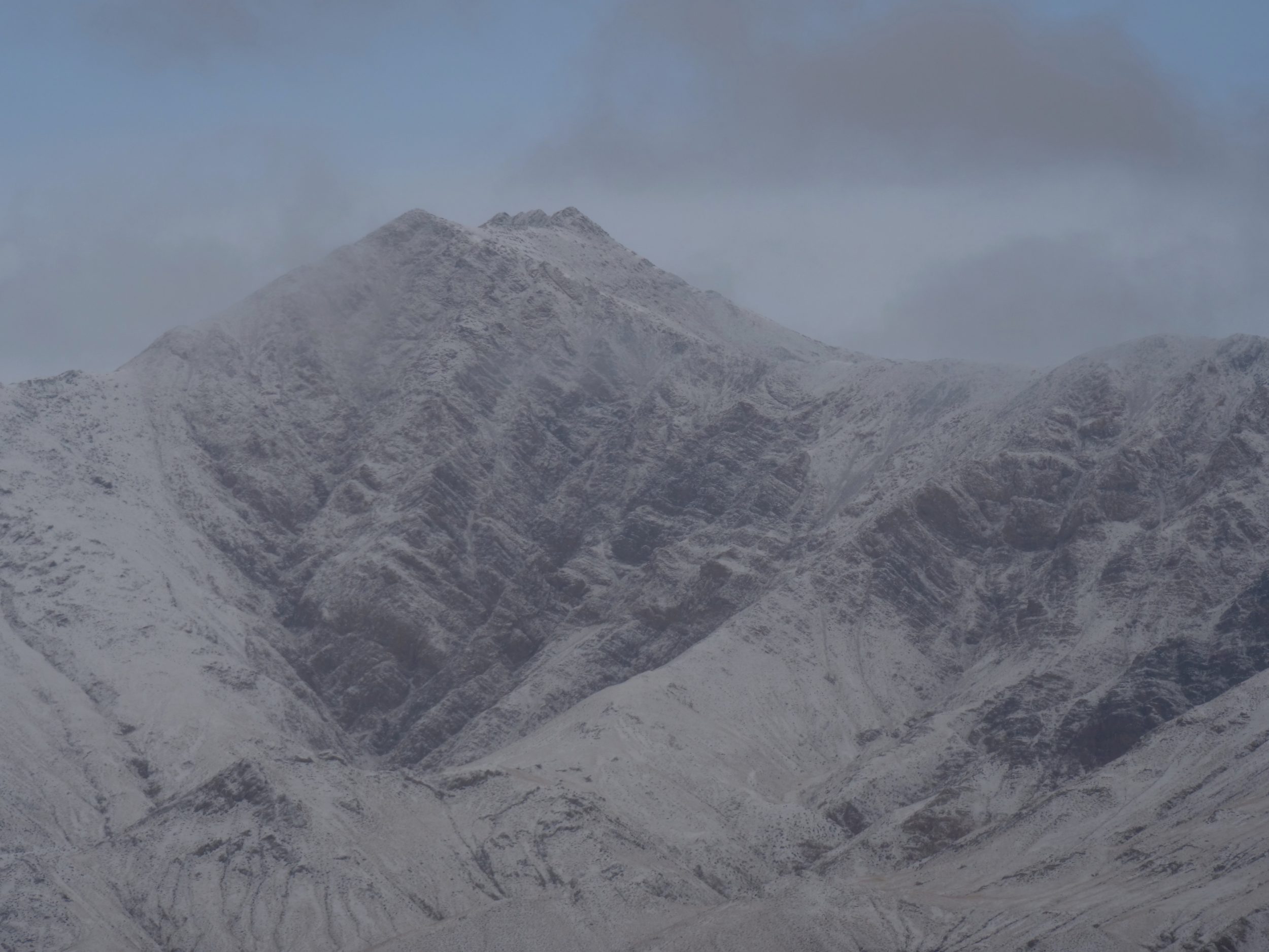
This sequel to the immediately-preceding post shows the magnificent landscape which surrounds and towers above the valley’s floor.
From Budongquan (see #4 in Tibetan Plateau series) we set off in darkness.
We breakfasted two hours later, overlooking a brushy, sandy section of the valley floor…through which we then walked.
The featured image (all photos copyright Doug Spencer) was taken at 8.11 am, during breakfast.
The day may have been “poor” from a birder’s point of view, but for a lover of mountain grandeur it was perfect – much more interesting than “blue skies, nothing but blue skies”.
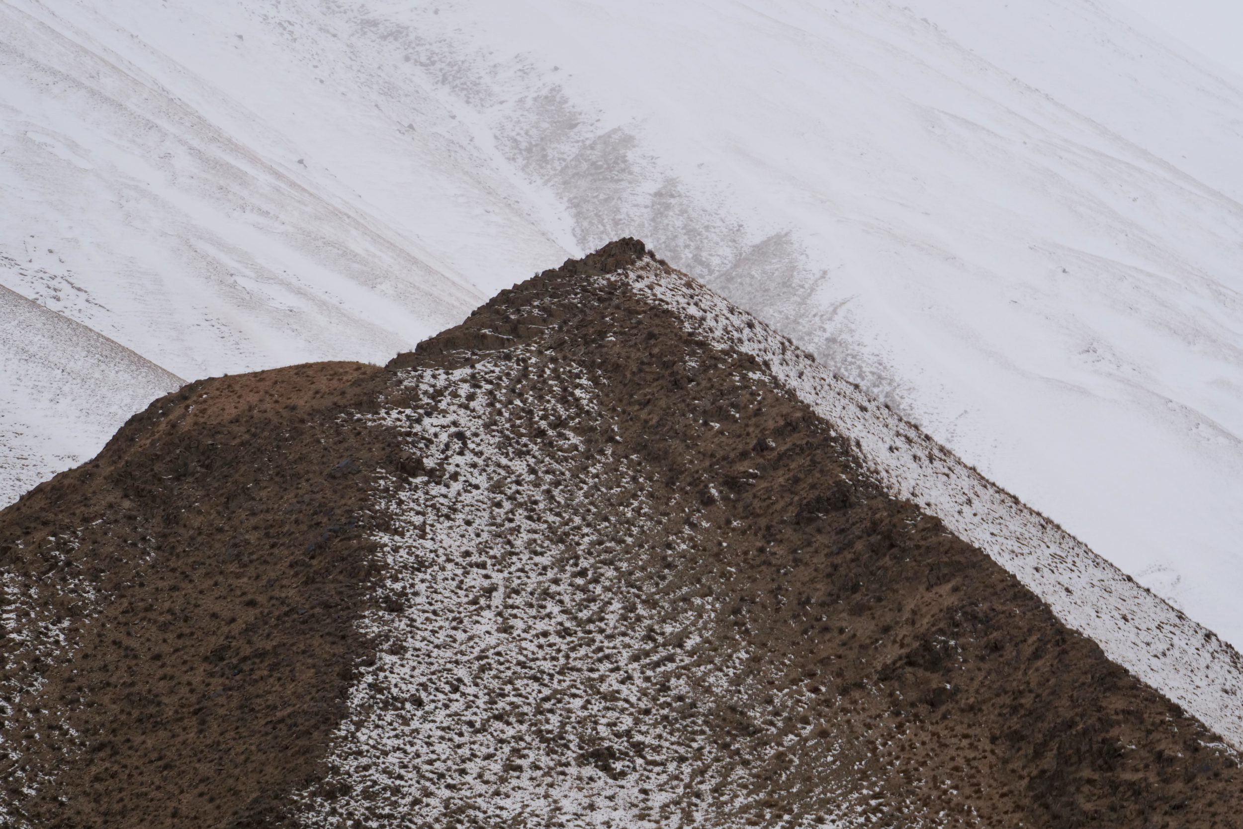
Where we walked, snowflakes occasionally fell, but instantly “disappeared”.
Not so very far above us, however, snowflakes were transforming the valley’s flanks, as if with icing sugar.
Higher above, the fresh snow provided a thin-but-thickening blanket.
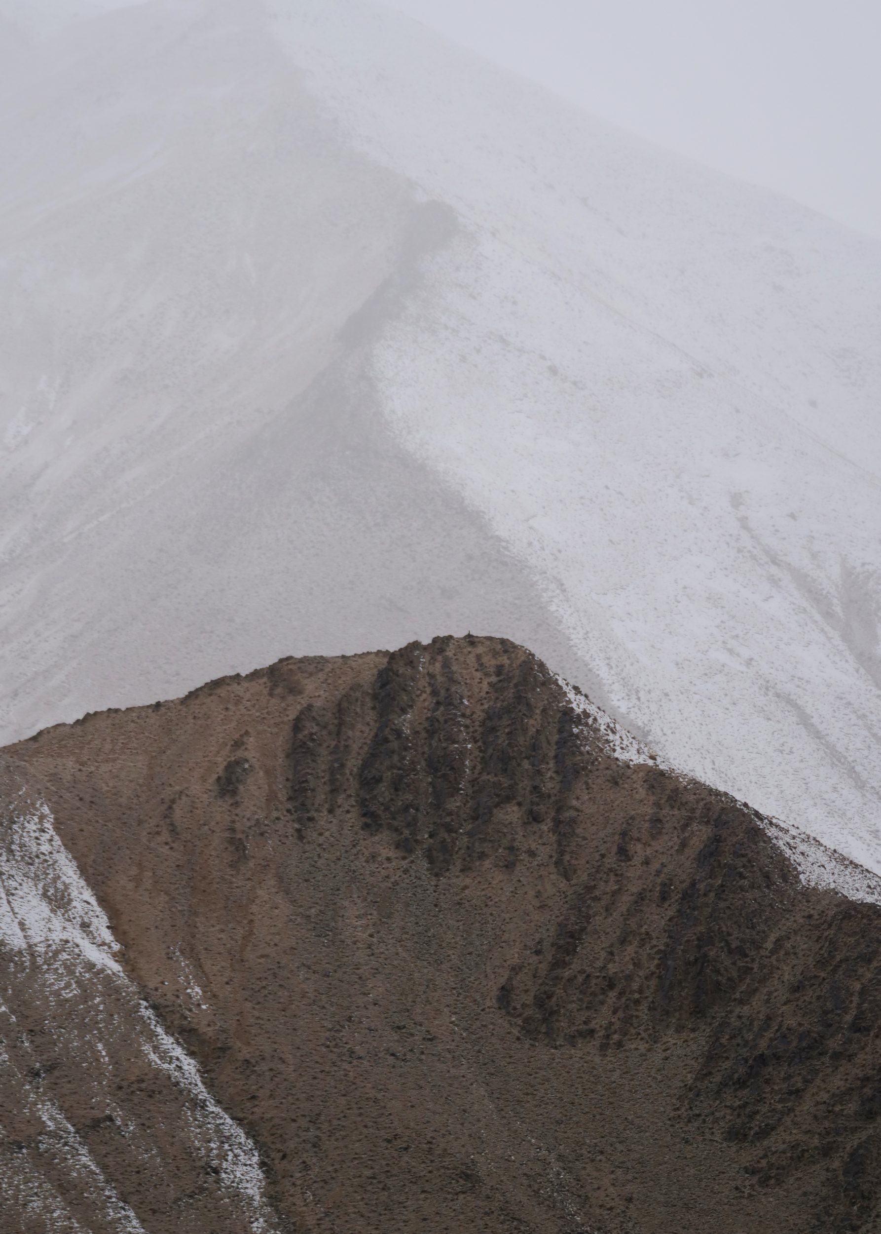
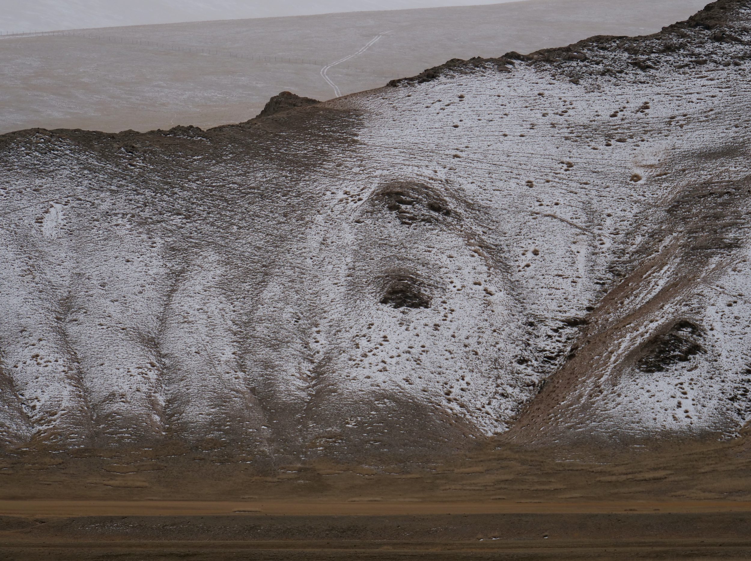
As is often true on the Tibetan Plateau, the epic, spare-spacious nature of the landscape – often, unpunctuated by man-built “reference points” – makes it nigh-impossible to gauge just how big, high, close or distant are its various features.
Even a single, distant vehicle track offers little assistance.
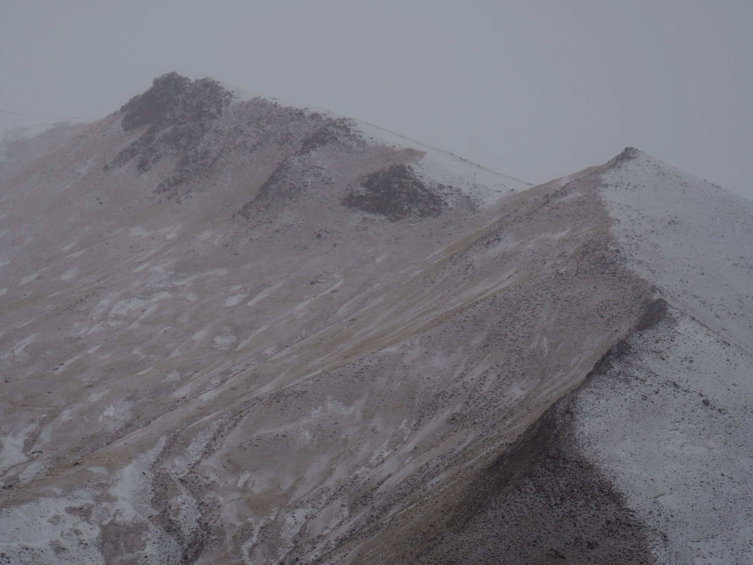
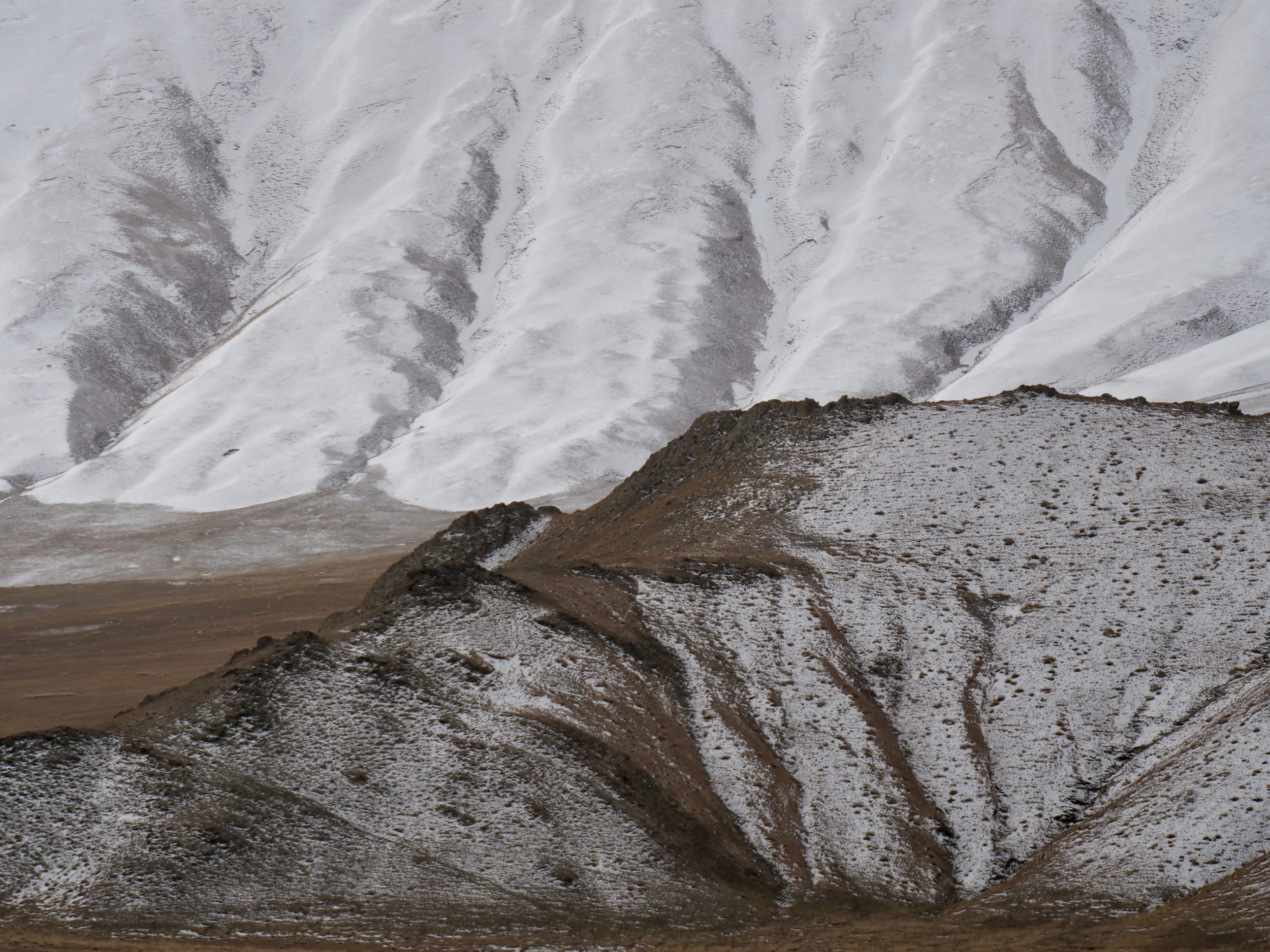
Wild Yak Valley is in the northeastern “corner” of the Tibetan Plateau. The surrounding slopes and peaks are part of the Kunlun Mountains, which are longer than the Himalayas, albeit not quite as high-reaching. The Himalayas look down on the Tibetan Plateau’s southern edge, whilst the Kunluns are at or near to its northern rim.
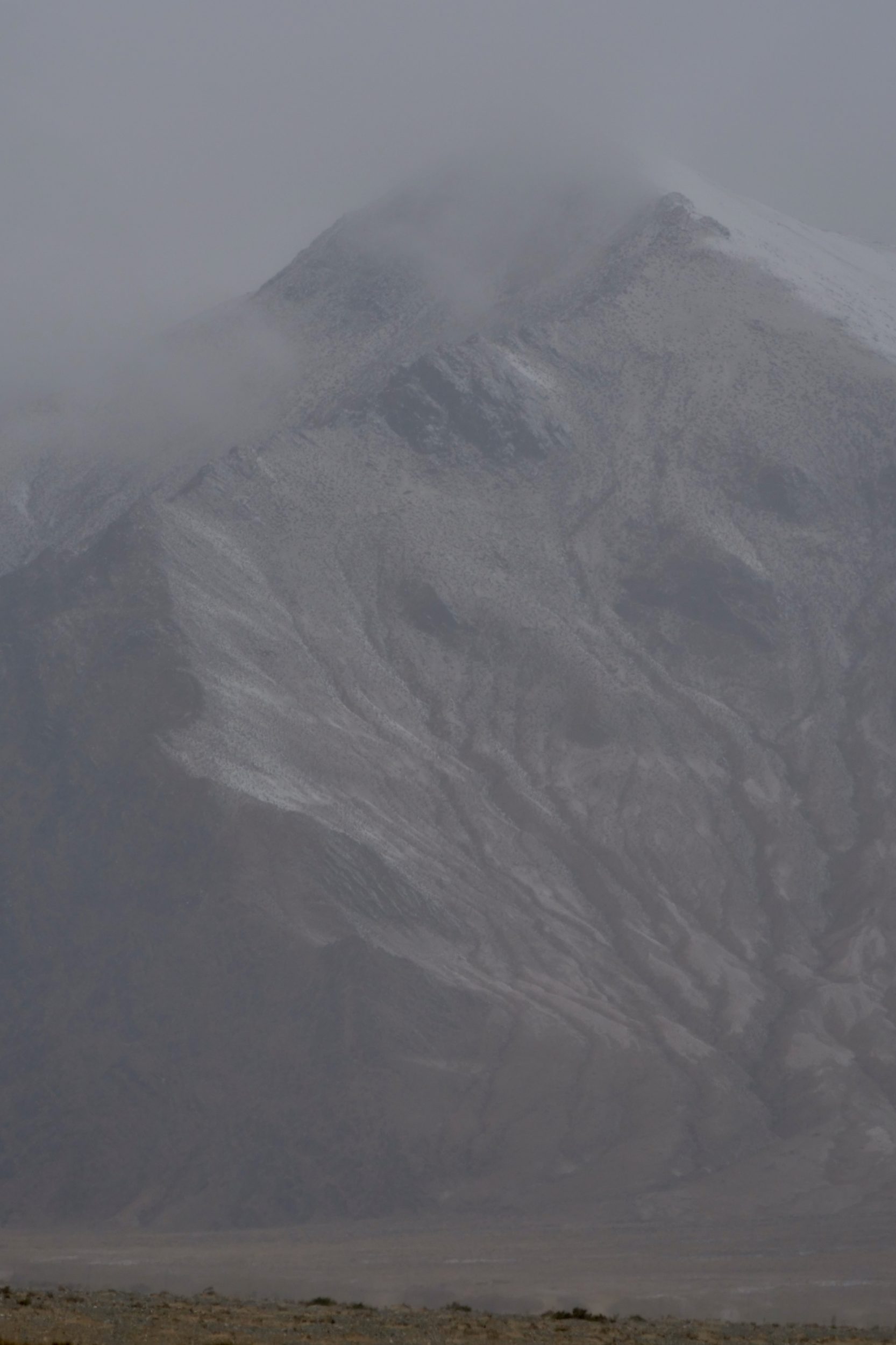
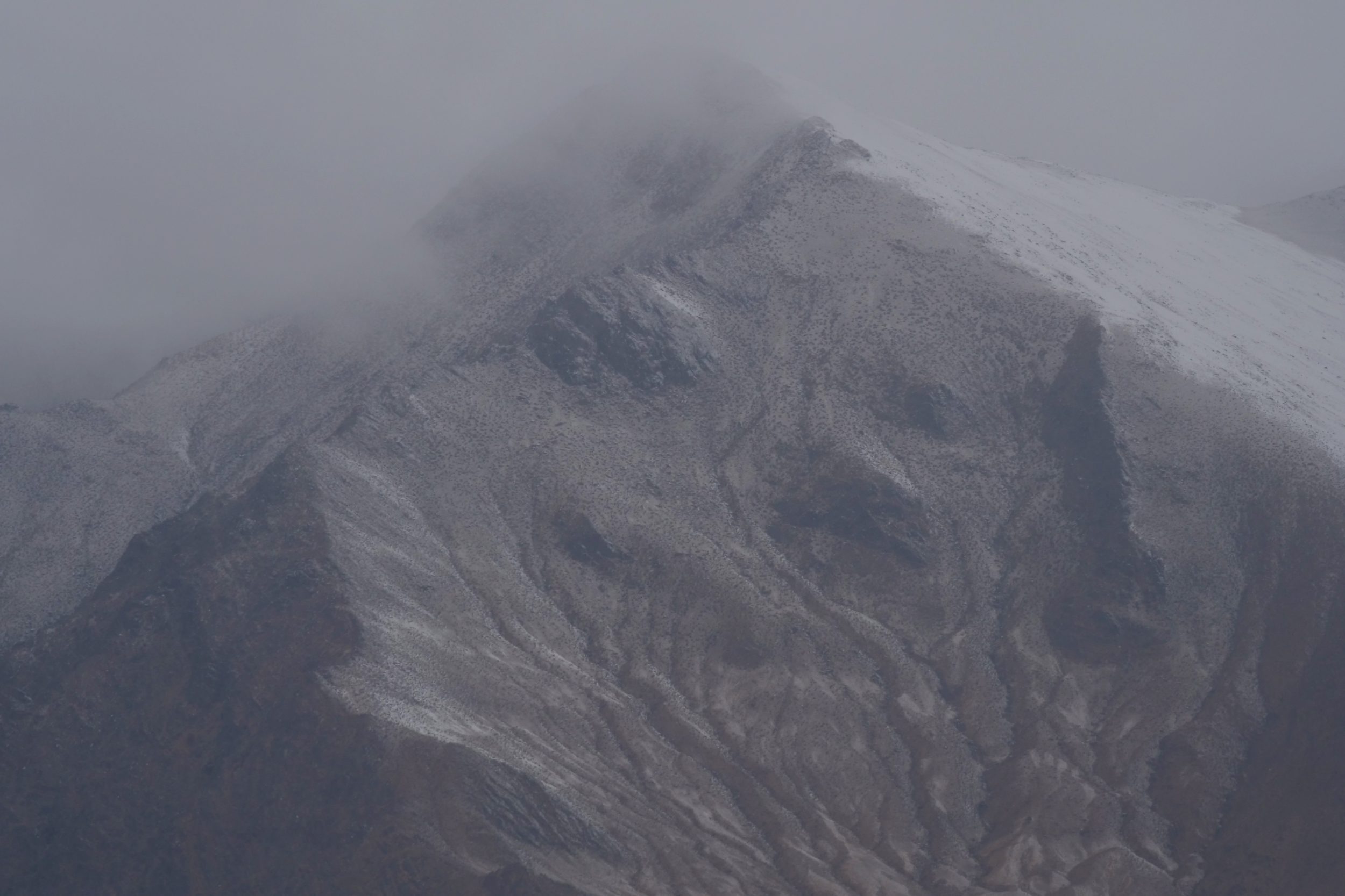
So complete/successful is China’s secrecy and obfuscation in relation to all things “Tibetan” that I am unable to provide you with a map that shows the location of Yeniuguo//Wild Yak Valley, let alone a map of it!
Readily available maps will show you Golmud’s location, and some even show Budongquan; Yeniuguo is off a turnoff from the highway to Lhasa. The valley is northeast of Budongquan, southwest of Golmud.
To see and learn more about this extraordinary place, its wildlife, and its surrounds click this and also this.
